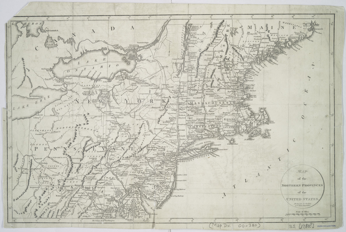
Map of the northern provinces of the United States
This map is also available in American Revolutionary Geographies Online (ARGO), a collections portal especially built for material relating to the American Revolutionary War Era. Visit ARGO to learn more about this item and explore the historical geography of North America in the late eighteenth century.
Item Information
- Title:
- Map of the northern provinces of the United States
- Creator:
- Russell, John, active 1733-1795
- Contributor:
- Phillips, R.
- Name on Item:
-
Russell Junior, sculpt.
- Date:
-
[1800]
- Format:
-
Maps/Atlases
- Location:
- New York Public Library
- Collection (local):
-
Maps of North America
- Subjects:
-
Northeastern States--Maps--Early works to 1800
- Places:
-
Northeastern United States (area)
- Extent:
- 1 map ; 31 x 49 cm.
- Terms of Use:
-
No known copyright restrictions.
This work is licensed for use under a Creative Commons Attribution Non-Commercial Share Alike License (CC BY-NC-SA).

- Publisher:
-
[London] :
Printed for R. Phillips, 71 St. Paul's Church Yard
- Scale:
-
Scale [ca. 1:2,400,000]
- Language:
-
English
- Catalog Record:
-
https://digitalcollections.nypl.org/items/510d47da-ede8-a3d9-e040-e00a18064a99
- Notes:
-
Relief shown pictorially.
Prime meridian: Washington, D.C.
From La Rochefoucauld-Liancourt's Travels through the United States of North America, the country of the Iroquois, and Upper Canada in the years 1795, 1796, and 1797. 2nd ed. London, 1800.
- Notes (date):
-
This date is inferred.


