Toggle navigation
LMEC Home
Exhibitions
Georeferencing
Tools for Teachers
Collections
My Favorites
Sign Up / Log In
Search
Search the map portal
Map Collection
Map Collection
Map Sets
Search
Search
Search for
Search In
All Fields
Creator
Title
Subject
Place
Search All Digital Collections
Advanced Search
2843 Results
My Search
Start Over
atlas
Remove constraint atlas
Filter your Search
Place
North and Central America
1,647
United States
987
Europe
464
Massachusetts
348
Canada
271
Asia
190
South America
189
Suffolk (county)
163
more
Place
»
Topic
Landowners--Massachusetts--Boston--Maps
115
Real property--Massachusetts--Boston--Maps
106
United States--Maps
87
Boston (Mass.)--Maps
63
United States--History--French and Indian War, 1754-1763--Maps
63
Saint Lawrence River--Maps
41
Nautical charts--Early works to 1800
39
North America--Maps--Early works to 1800
36
more
Topic
»
Date
Date range begin
–
Date range end
Current results range from
1482
to
2023
View distribution
Creator
United States. Hydrographic Office
582
Des Barres, Joseph F. W. (Joseph Frederick Wallet), 1722-1824
118
Ptolemy, 2nd cent
100
Bromley, George Washington
99
Bromley, Walter Scott
97
G.W. Bromley & Co.
75
Carey, Mathew, 1760-1839
74
Paullin, Charles Oscar, 1868 or 1869-1944
70
more
Creator
»
Format
Maps/Atlases
2,827
Manuscripts
58
Books
37
Prints
8
Documents
5
Drawings/Illustrations
1
Georeferenced
Yes
142
No
2,701
Collection
Norman B. Leventhal Map & Education Center Collection
2,386
Maritime Charts and Atlases
1,150
American Revolutionary War-Era Maps
504
Boston and New England Maps
374
Urban Maps
250
Massachusetts Real Estate Atlases
144
William L. Clements Library Collection
92
Mapping Boston Collection
61
more
Collection
»
Available to use
No known restrictions
2,292
Creative Commons license
158
Search Constraints
Sort by relevance
relevance
title
date (asc)
date (desc)
Number of results to display per page
20 per page
10
per page
20
per page
50
per page
100
per page
View results as:
grid view
map view
Search Results
2641.
Freti Magellanici ac novi freti vulgo le Maire exactissima delineatio = Afbeelding der Straet Magellanes : so als de selve van...
2642.
[Hispania]
2643.
Johnson's map of New York and the adjacent cities
2644.
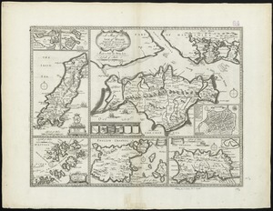
A map of the Isle of Wight Portsea Halinge, also the islands of Iarsey & Garnsey which are part of Hampshire
2645.
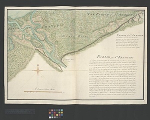
Parish of St. Antoine. Parish of St. Francois
2646.
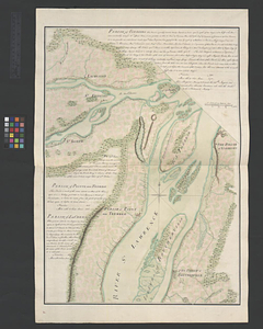
Parish of Varrenes. Parish of Pointe aux Trembles. Parish of La Chenais
2647.
Plurime Sunt regiones que quidem singule singulis rebus excellere videntur
2648.
Prima Asie Tabula : continet pontum & Bithiniã et regionem q̃, pprie Asya dicitur ac lyciam & Gallaciam ac Pamphiliam &...
2649.
Quarta Africae tabula
2650.
The seat of war in ye North : or a map of the Baltick, with part of the North Sea ... posture of affaris
2651.
The seat of war in ye North : or a map of the Baltick, with part of the North Sea ... posture of affaris
2652.
Septima Europa tabula continet Sardininiam & Sicilia insulas
2653.
Sexta Europa tabula continet Italiam
2654.
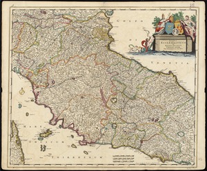
Status ecclesiasticus et magnus ducatus Thoscanae
2655.
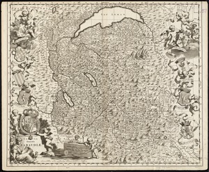
Tabula generalis Sabaudiae
2656.
Terra firma et novum regnum Granatense et Popayan
2657.
Carte de la Dominique prise par les françois le 7 septembre 1778 : avec le Plan du débarquement, et de l'attague des forts et...
2658.
Dominica from an actual survey compleated in the year 1773
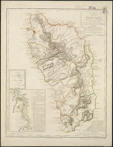
2659.
Dominio Fiorentino
2660.
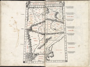
Nona Asiae tabula
‹ Prev
Next ›
1
2
…
129
130
131
132
133
134
135
136
137
…
142
143

![[Hispania]](https://bpldcassets.blob.core.windows.net/derivatives/images/commonwealth:7h14b057s/image_thumbnail_300.jpg)