Toggle navigation
LMEC Home
Exhibitions
Georeferencing
Tools for Teachers
Collections
My Favorites
Sign Up / Log In
Search
Search the map portal
Map Collection
Map Collection
Map Sets
Search
Search
Search for
Search In
All Fields
Creator
Title
Subject
Place
Search All Digital Collections
Advanced Search
13518 Results
Filter your Search
Place
North and Central America
10,232
United States
8,367
Massachusetts
2,778
Suffolk (county)
1,675
Boston
1,631
Europe
1,386
Canada
949
New York
640
more
Place
»
Topic
Boston (Mass.)--Maps
746
City planning--Massachusetts--Boston--Maps
418
United States--History--Revolution, 1775-1783--Maps
329
United States--Maps
321
Real property--Massachusetts--Boston--Maps
254
Urban renewal--Massachusetts--Boston--Maps
254
Massachusetts--Maps
230
Insurance surveys
197
more
Topic
»
Date
Date range begin
–
Date range end
Current results range from
1482
to
2023
View distribution
Creator
United States. Hydrographic Office
596
Boston Redevelopment Authority
404
Des Barres, Joseph F. W. (Joseph Frederick Wallet), 1722-1824
247
Royal United Services Institute for Defence and Security Studies
160
Jefferys, Thomas, -1771
154
George, III, King of Great Britain, 1738-1820
152
George, IV, King of Great Britain, 1762-1830
151
O.H. Bailey & Co
148
more
Creator
»
Format
Maps/Atlases
13,337
Manuscripts
985
Prints
102
Books
49
Drawings/Illustrations
44
Photographs
15
Objects/Artifacts
13
Documents
7
more
Format
»
Georeferenced
Yes
979
No
12,539
Collection
Norman B. Leventhal Map & Education Center Collection
9,022
American Revolutionary War-Era Maps
3,305
Boston and New England Maps
2,900
Urban Maps
2,425
Maritime Charts and Atlases
1,167
William L. Clements Library Collection
910
Library of Congress Collection
618
Boston Redevelopment Authority Collection
475
more
Collection
»
Available to use
No known restrictions
10,085
Creative Commons license
1,677
Search Constraints
Sort by relevance
relevance
title
date (asc)
date (desc)
Number of results to display per page
20 per page
10
per page
20
per page
50
per page
100
per page
View results as:
grid view
map view
Search Results
5221.
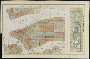
Map of New York City
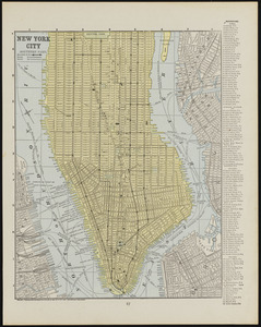
5222.
Map of New York City (northern part)
5223.
Map of New York City showing concrete socialism in red, and private enterprises in white, 1895
5224.
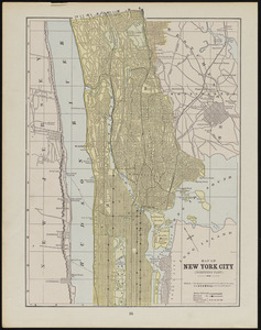
Map of New York City (southern part)
5225.
Map of New York I. with the adjacent rocks and other remarkable parts of Hell-Gate
5226.
A map of New York showing counties, manors, townships, and estates, ca. 1778
5227.
A map of New York showing counties, manors, townships, and estates, ca. 1778
5228.
A map of New York which is published by the Washington Square Bookshop
5229.
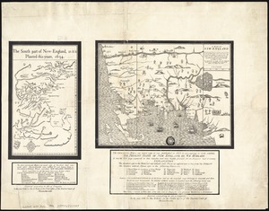
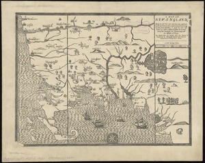
A map of New-England : being the first that ever was here cut, and done by the best pattern that could be had, which being in...
5230.
A map of New-England : being the first that ever was here cut, and done by the best pattern that could be had, which being in...
5231.
A map of New-England : being the first that ever was here cut, and done by the best pattern that could be had, which being in...
5232.
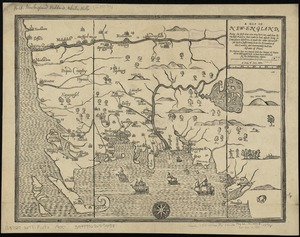
A map of New-England, being the first that ever was here cut, and done by the best pattern that could be had, which being in...
5233.
A map of New-England, being the first that ever was here cut, and done by the best pattern that could be had, which being in...
5234.
A map of New-England, being the first that ever was here cut, and done by the best pattern that could be had, which being in...
5235.
Map of Newport County, Rhode Island
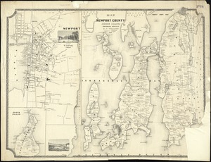
5236.
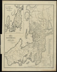
Map of Newport, R.I
5237.
Map of Newton Mass
5238.
Map of New-York
5239.
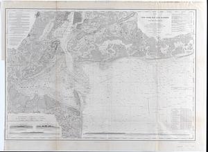
Map of New-York Bay and Harbor and the environs : [with colored manuscript additions to show positions of troops and fleets at...
5240.
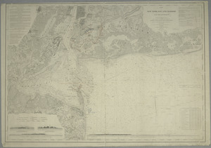
Map of New-York Bay and Harbor and the environs : Founded upon a trigonometrical survey under the direction of F.R. Hassler,...
‹ Prev
Next ›
1
2
…
258
259
260
261
262
263
264
265
266
…
675
676