Toggle navigation
LMEC Home
Exhibitions
Georeferencing
Tools for Teachers
Collections
My Favorites
Sign Up / Log In
Search
Search the map portal
Map Collection
Map Collection
Map Sets
Search
Search
Search for
Search In
All Fields
Creator
Title
Subject
Place
Search All Digital Collections
Advanced Search
13518 Results
Filter your Search
Place
North and Central America
10,232
United States
8,367
Massachusetts
2,778
Suffolk (county)
1,675
Boston
1,631
Europe
1,386
Canada
949
New York
640
more
Place
»
Topic
Boston (Mass.)--Maps
746
City planning--Massachusetts--Boston--Maps
418
United States--History--Revolution, 1775-1783--Maps
329
United States--Maps
321
Real property--Massachusetts--Boston--Maps
254
Urban renewal--Massachusetts--Boston--Maps
254
Massachusetts--Maps
230
Insurance surveys
197
more
Topic
»
Date
Date range begin
–
Date range end
Current results range from
1482
to
2023
View distribution
Creator
United States. Hydrographic Office
596
Boston Redevelopment Authority
404
Des Barres, Joseph F. W. (Joseph Frederick Wallet), 1722-1824
247
Royal United Services Institute for Defence and Security Studies
160
Jefferys, Thomas, -1771
154
George, III, King of Great Britain, 1738-1820
152
George, IV, King of Great Britain, 1762-1830
151
O.H. Bailey & Co
148
more
Creator
»
Format
Maps/Atlases
13,337
Manuscripts
985
Prints
102
Books
49
Drawings/Illustrations
44
Photographs
15
Objects/Artifacts
13
Documents
7
more
Format
»
Georeferenced
Yes
979
No
12,539
Collection
Norman B. Leventhal Map & Education Center Collection
9,022
American Revolutionary War-Era Maps
3,305
Boston and New England Maps
2,900
Urban Maps
2,425
Maritime Charts and Atlases
1,167
William L. Clements Library Collection
910
Library of Congress Collection
618
Boston Redevelopment Authority Collection
475
more
Collection
»
Available to use
No known restrictions
10,085
Creative Commons license
1,677
Search Constraints
Sort by relevance
relevance
title
date (asc)
date (desc)
Number of results to display per page
20 per page
10
per page
20
per page
50
per page
100
per page
View results as:
grid view
map view
Search Results
5421.
Map of the Atchison Topeka and Santa Fe Railroad and its leased lines
5422.
Map of the Atlantic States, showing distances from Washington (in bee line) by 50 mile circles
5423.
Map of the Back Bay Fens showing the public ways bordering and crossing them and the neighboring newly laid out parts of...
5424.
A map of the back settlements
5425.
Map of the battle field of Gettysburg : July 1st, 2nd, 3rd, 1863
5426.
Map of the battle field of Gettysburg, July 1st, 2nd, 3rd, 1863 : Second day's battle
5427.
Map of the battle field of Gettysburg, July 1st, 2nd, 3rd, 1863 : Third day's battle
5428.
Map of the battle field of Gettysburg, July 1st, 2nd, 3rd, 1863 : First day's battle
5429.
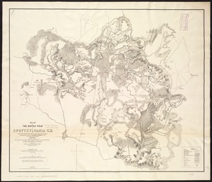
Map of the battle field of Spottsylvania C.H : showing the field of operations of the Army of the Potomac commanded by Maj....
5430.
Map of the battle fields of North Anna : showing the field of operations of the Army of the Potomac commanded by Maj. Gen....
5431.
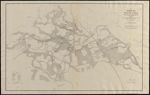
Map of the battle fields of the Tolopotomoy, and Bethesda Church : showing the field of operations of the Army of the Potomac...
5432.
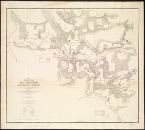
Map of the battle fields of the Wilderness May 5th, 6th, and 7th, 1864 : showing the field of operations of the Army of the...
5433.
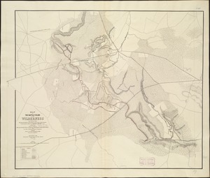
Map of the battle ground near Richmond, showing plainly, every point of interest of the late & present position of the Union army
5434.
Map of the battle ground of Greenbrier River
5435.
Map of the battlefield of Bull Run, Virginia. Brig. Gen. Irvin McDowell commanding the U.S. forces, Gen. [P.] G.T. Beauregard...
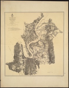
5436.
Map of the battlefield of Chattanooga
5437.
Map of the battlefield of Five-Forks
5438.
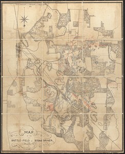
Map of the battle-field of Stone's-River
5439.
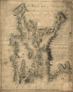
A map of the bay of Narraganset with the islands therein and part of the country adjacent
5440.
Map of the Bering River Coal Field : showing distribution of the various kinds of coal and location of the coal sections and...
‹ Prev
Next ›
1
2
…
268
269
270
271
272
273
274
275
276
…
675
676

![Map of the battlefield of Bull Run, Virginia. Brig. Gen. Irvin McDowell commanding the U.S. forces, Gen. [P.] G.T. Beauregard commanding the Confederate forces, July 21st 1861](https://bpldcassets.blob.core.windows.net/derivatives/images/commonwealth:ww72bp023/image_thumbnail_300.jpg)