Toggle navigation
LMEC Home
Exhibitions
Georeferencing
Tools for Teachers
Collections
My Favorites
Sign Up / Log In
Search
Search the map portal
Map Collection
Map Collection
Map Sets
Search
Search
Search for
Search In
All Fields
Creator
Title
Subject
Place
Search All Digital Collections
Advanced Search
13680 Results
Filter your Search
Place
North and Central America
10,344
United States
8,475
Massachusetts
2,789
Suffolk (county)
1,677
Boston
1,633
Europe
1,415
Canada
950
New York
649
more
Place
»
Topic
Boston (Mass.)--Maps
747
City planning--Massachusetts--Boston--Maps
418
United States--History--Revolution, 1775-1783--Maps
329
United States--Maps
322
Real property--Massachusetts--Boston--Maps
254
Urban renewal--Massachusetts--Boston--Maps
254
Massachusetts--Maps
231
Insurance surveys
197
more
Topic
»
Date
Date range begin
–
Date range end
Current results range from
1482
to
2023
View distribution
Creator
United States. Hydrographic Office
597
Boston Redevelopment Authority
404
Des Barres, Joseph F. W. (Joseph Frederick Wallet), 1722-1824
247
Royal United Services Institute for Defence and Security Studies
160
Jefferys, Thomas, -1771
154
George, III, King of Great Britain, 1738-1820
152
George, IV, King of Great Britain, 1762-1830
151
O.H. Bailey & Co
148
more
Creator
»
Format
Maps/Atlases
13,499
Manuscripts
985
Prints
102
Books
49
Drawings/Illustrations
44
Photographs
15
Objects/Artifacts
13
Documents
7
more
Format
»
Georeferenced
Yes
979
No
12,701
Collection
Norman B. Leventhal Map & Education Center Collection
9,096
American Revolutionary War-Era Maps
3,305
Boston and New England Maps
2,915
Urban Maps
2,471
Maritime Charts and Atlases
1,169
William L. Clements Library Collection
910
Library of Congress Collection
618
Boston Redevelopment Authority Collection
475
more
Collection
»
Available to use
No known restrictions
10,246
Creative Commons license
1,678
Search Constraints
Sort by relevance
relevance
title
date (asc)
date (desc)
Number of results to display per page
20 per page
10
per page
20
per page
50
per page
100
per page
View results as:
grid view
map view
Search Results
2621.
Comitatus Burgundiae tam in praecipuas ejus praefecturas quam in minores earundem Balliviatus aliasque Ditiones subjacentes et...
2622.
Comitatus Darbiensis
2623.
Comitatus Dorcestria : vulgo Anglice Dorset Shire
2624.
Comitatus Dorcestria, sive Dorsettia : vulgo anglice Dorset Shire
2625.
Comitatus Hannoniae tabula
2626.
Comitatus Northantonensis vernacule Northampton Shire
2627.
Comitatus Northumbria vernacule Northumber Land
2628.
Comitatus Nottinghamiensis : sive Nottingham Shire
2629.
Comitatuum Hannoniae et Namurci descriptio
2630.
Ye commencement for draft of New York Island
2631.
Commercial map of China : showing treaty ports, ports of foreign control, railways, telegraphs, waterways, etc., 1899
2632.
Commercial map of New England
2633.
Commercial map of the Near East
2634.
The common school atlas : drawn and engraved on steel : to illustrate and accompany The introduction to modern geography [cover]
2635.
The Commonwealth of Connecticut
2636.
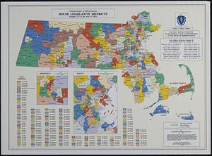
Commonwealth of Massachusetts House legislative districts : (Chapter 273 of the Acts of 1993)
2637.
The Commonwealth of Massachusetts "New Bedford Textile School," (Cotton Cloth), New Bedford, Mass. [insurance map]
2638.
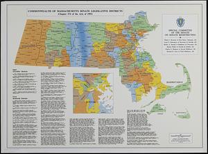
Commonwealth of Massachusetts Senate legislative districts : (Chapter 274 of the Acts of 1993)
2639.
Commonwealth of Massachusetts U.S. congressional districts
2640.
The communication between the Iberville and the river Mississippe
‹ Prev
Next ›
1
2
…
128
129
130
131
132
133
134
135
136
…
683
684


![The Commonwealth of Massachusetts "New Bedford Textile School," (Cotton Cloth), New Bedford, Mass. [insurance map]](https://bpldcassets.blob.core.windows.net/derivatives/images/commonwealth:ww72bz90c/image_thumbnail_300.jpg)