The common school atlas : drawn and engraved on steel : to illustrate and accompany The introduction to modern geography [cover]
Item Information
- Title:
- The common school atlas : drawn and engraved on steel : to illustrate and accompany The introduction to modern geography [cover]
- Description:
-
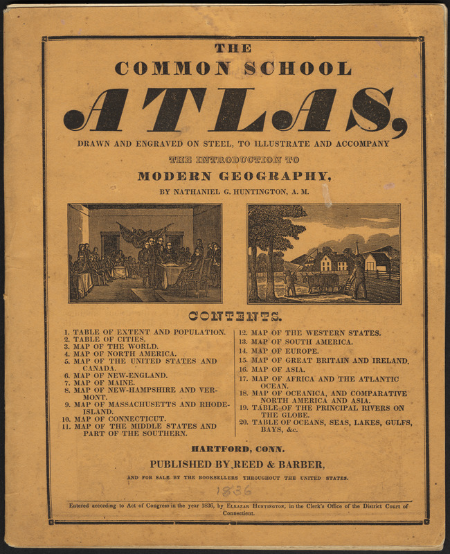
Back to School: This school atlas from the early decades of the 19th century provided visual aids in the form of maps to supplement geography textbooks. At this time, geography textbooks were constructed as catechisms – long passages of text from which the student was to read from and then answer questions. These paragraphs on countries listed places and natural features such as mountains and rivers. This type of rote memorization was common in teaching methods of the time. The school atlas displayed here contains maps which would help students answer questions, and illustrations which depict historical events to supplement their geographical learning.
- Creator:
- Huntington, Nathaniel G. (Nathaniel Gilbert), 1785-1848
- Contributor:
- Huntington, Eleazer, 1789-1852
- Contributor:
- Reed and Barber
- Name on Item:
-
by Nathaniel G. Huntington
- Date:
-
[1836]
- Format:
-
Maps/Atlases
- Location:
-
Boston Public Library
Norman B. Leventhal Map & Education Center - Collection (local):
-
Norman B. Leventhal Map & Education Center Collection
- Subjects:
-
Atlases
Children's atlases
- Extent:
- 1 page ; 27 cm.
- Terms of Use:
-
No known copyright restrictions.
No known restrictions on use.
- Publisher:
-
Hartford, Conn :
Reed & Barber
- Language:
-
English
- Notes:
-
Entered according to Act of Congress in the year 1836, by Eleazar Huntington, in the Clerk's Office of the District Court of Connecticut.
Title from cover.
- Notes (date):
-
This date is inferred.
- Notes (exhibitions):
-
Exhibited: "Back to School: Geography in the Classroom" organized by the Norman B. Leventhal Map Center at the Boston Public Library, 2014-2015.
- Identifier:
-
06_01_012148
- Barcode:
-
39999065662775
![A comprehensive atlas geographical, historical & commercial [title page]](https://bpldcassets.blob.core.windows.net/derivatives/images/commonwealth:3f463182f/image_thumbnail_300.jpg)
![School atlas to Cummings' ancient & modern geography [cover]](https://bpldcassets.blob.core.windows.net/derivatives/images/commonwealth:3f463152q/image_thumbnail_300.jpg)


