Toggle navigation
LMEC Home
Exhibitions
Georeferencing
Tools for Teachers
Collections
My Favorites
Sign Up / Log In
Search
Search the map portal
Map Collection
Map Collection
Map Sets
Search
Search
Search for
Search In
All Fields
Creator
Title
Subject
Place
Search All Digital Collections
Advanced Search
13671 Results
Filter your Search
Place
North and Central America
10,337
United States
8,468
Massachusetts
2,784
Suffolk (county)
1,677
Boston
1,633
Europe
1,413
Canada
950
New York
649
more
Place
»
Topic
Boston (Mass.)--Maps
747
City planning--Massachusetts--Boston--Maps
418
United States--History--Revolution, 1775-1783--Maps
329
United States--Maps
321
Real property--Massachusetts--Boston--Maps
254
Urban renewal--Massachusetts--Boston--Maps
254
Massachusetts--Maps
231
Insurance surveys
197
more
Topic
»
Date
Date range begin
–
Date range end
Current results range from
1482
to
2023
View distribution
Creator
United States. Hydrographic Office
597
Boston Redevelopment Authority
404
Des Barres, Joseph F. W. (Joseph Frederick Wallet), 1722-1824
247
Royal United Services Institute for Defence and Security Studies
160
Jefferys, Thomas, -1771
154
George, III, King of Great Britain, 1738-1820
152
George, IV, King of Great Britain, 1762-1830
151
O.H. Bailey & Co
148
more
Creator
»
Format
Maps/Atlases
13,490
Manuscripts
985
Prints
102
Books
49
Drawings/Illustrations
44
Photographs
15
Objects/Artifacts
13
Documents
7
more
Format
»
Georeferenced
Yes
979
No
12,692
Collection
Norman B. Leventhal Map & Education Center Collection
9,088
American Revolutionary War-Era Maps
3,305
Boston and New England Maps
2,910
Urban Maps
2,465
Maritime Charts and Atlases
1,169
William L. Clements Library Collection
910
Library of Congress Collection
618
Boston Redevelopment Authority Collection
475
more
Collection
»
Available to use
No known restrictions
10,238
Creative Commons license
1,677
Search Constraints
Sort by relevance
relevance
title
date (asc)
date (desc)
Number of results to display per page
20 per page
10
per page
20
per page
50
per page
100
per page
View results as:
grid view
map view
Search Results
4881.
Map of a route through south west Pennsylvania from Fort Loudon, Franklin Co. to Fort Pitt, Pittsburgh
4882.
Map of a tour from Independence to Santa Fé, Chihuahua, Monterey and Matamoros
4883.
Map of a tract of land called the Nyack Patent lying within the limits of the town of New Utrecht in the County of Kings
4884.
Map of a woman's heart
4885.
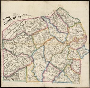
Map of Adams Co., Pa
4886.
Map of Addison County, Vermont
4887.
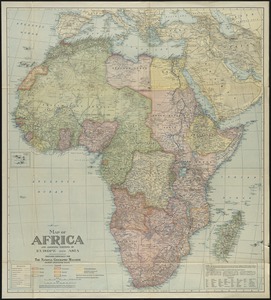
Map of Africa : and adjoining portions of Europe and Asia
4888.
Map of Akron, Ohio : prepared for Akron Chamber of Commerce
4889.
Map of Alabama, showing location of property owned by the Fort Payne Coal & Iron Company
4890.
Map of Alaska
4891.
Map of Alaska : showing latest explorations by U.S. Geological Survey and U.S. Coast and Geodetic Survey
4892.
Map of Alaska
4893.
Map of Alaska
4894.
Map of Alexandria, Virginia
4895.
Map of all the railroads in the United States in operation and progress
4896.
Map of Allegany Co., N.Y : from actual surveys
4897.
A map of America between latitudes 40 and 70 north and longitudes 45 and 180 west, exhibiting Mackenzie's track from Montreal...
4898.
Map of American camp in New Jersey and surrounding countryside
4899.
A map of Amherst with a view of the college and Mount Pleasant Institution
4900.
Map of an exploring expedition to the Rocky Mountains in the year 1842 and to Oregon & north California in the years 1843-44
‹ Prev
Next ›
1
2
…
241
242
243
244
245
246
247
248
249
…
683
684