Toggle navigation
LMEC Home
Exhibitions
Georeferencing
Tools for Teachers
Collections
My Favorites
Sign Up / Log In
Search
Search the map portal
Map Collection
Map Collection
Map Sets
Search
Search
Search for
Search In
All Fields
Creator
Title
Subject
Place
Search All Digital Collections
Advanced Search
10951 Results
My Search
Start Over
All Fields
americas
Remove constraint All Fields: americas
Filter your Search
Place
North and Central America
10,344
United States
8,469
Massachusetts
2,789
Suffolk (county)
1,675
Boston
1,631
Canada
937
New York
649
Middlesex (county)
441
more
Place
»
Topic
Boston (Mass.)--Maps
746
City planning--Massachusetts--Boston--Maps
418
United States--History--Revolution, 1775-1783--Maps
327
United States--Maps
320
Real property--Massachusetts--Boston--Maps
254
Urban renewal--Massachusetts--Boston--Maps
254
Massachusetts--Maps
231
Insurance surveys
194
more
Topic
»
Date
Date range begin
–
Date range end
Current results range from
1507
to
2023
View distribution
Creator
Boston Redevelopment Authority
404
United States. Hydrographic Office
366
Des Barres, Joseph F. W. (Joseph Frederick Wallet), 1722-1824
197
Jefferys, Thomas, -1771
150
George, III, King of Great Britain, 1738-1820
146
O.H. Bailey & Co
146
George, IV, King of Great Britain, 1762-1830
145
Royal United Services Institute for Defence and Security Studies
139
more
Creator
»
Format
Maps/Atlases
10,828
Manuscripts
916
Prints
60
Books
43
Drawings/Illustrations
43
Photographs
15
Objects/Artifacts
7
Posters
3
more
Format
»
Georeferenced
Yes
823
No
10,128
Collection
Norman B. Leventhal Map & Education Center Collection
6,627
American Revolutionary War-Era Maps
3,123
Boston and New England Maps
2,912
Urban Maps
2,289
William L. Clements Library Collection
892
Maritime Charts and Atlases
816
Library of Congress Collection
552
Boston Redevelopment Authority Collection
475
more
Collection
»
Available to use
No known restrictions
7,767
Creative Commons license
1,541
Search Constraints
Sort by relevance
relevance
title
date (asc)
date (desc)
Number of results to display per page
20 per page
10
per page
20
per page
50
per page
100
per page
View results as:
grid view
map view
Search Results
161.
An accurate map of North America
162.
A New map of North America : with the West India Islands. : Divided according to the preliminary articles of Peace, signed at...
163.
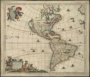
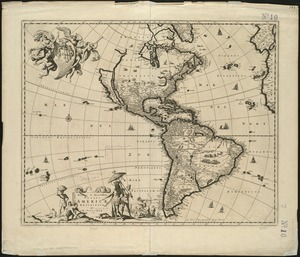
Novissima et accuratissima totius Americae descriptio
164.
Now see America by Grace Line
165.
Illustrated Times map of North America
166.
An accurate map of North America : Describing and distinguishing the British and Spanish dominions of this great continent;...
167.
An accurate map of North America : describing and distinguishing the British and Spanish dominions on this great continent :...
168.
An exact map of North America : from the best authorities
169.
New & accurate map of North America : with the new discovered islands on the north east coast of Asia
170.
An accurate map of North America : describing and distinguishing the British, Spanish and French dominions on this great...
171.
A new map of North America : with the British, French, Spanish, Dutch & Danish dominions on that great continent, and the West...
172.
An accurate map of North America : describing and distinguishing the British and Spanish dominions on this great continent :...
173.
An accurate map of North America : describing and distinguishing the British and Spanish dominions of this great continent;...
174.
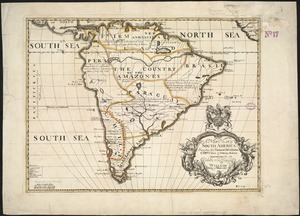
A new map of South America : shewing it's general divisions, chief cities & towns, rivers, mountains &c
175.
The British colonies in North America
176.
A new general map of America
177.
Novissima et accuratissima totius Americae descriptio
178.
Novissima et accuratissima totius Americae descriptio
179.
The British governments in Nth. America : laid down agreeable to the proclamation of Octr. 7, 1763
180.
A general map of North America : in which is express'd the several new roads, forts, engagements, &c, taken from actual surveys...
‹ Prev
Next ›
1
2
…
5
6
7
8
9
10
11
12
13
…
547
548