Toggle navigation
LMEC Home
Exhibitions
Georeferencing
Tools for Teachers
Collections
My Favorites
Sign Up / Log In
Search
Search the map portal
Map Collection
Map Collection
Map Sets
Search
Search
Search for
Search In
All Fields
Creator
Title
Subject
Place
Search All Digital Collections
Advanced Search
10836 Results
My Search
Start Over
All Fields
americas
Remove constraint All Fields: americas
Filter your Search
Place
North and Central America
10,232
United States
8,361
Massachusetts
2,778
Suffolk (county)
1,673
Boston
1,629
Canada
936
New York
640
Middlesex (county)
438
more
Place
»
Topic
Boston (Mass.)--Maps
745
City planning--Massachusetts--Boston--Maps
418
United States--History--Revolution, 1775-1783--Maps
327
United States--Maps
319
Real property--Massachusetts--Boston--Maps
254
Urban renewal--Massachusetts--Boston--Maps
254
Massachusetts--Maps
230
Insurance surveys
194
more
Topic
»
Date
Date range begin
–
Date range end
Current results range from
1507
to
2023
View distribution
Creator
Boston Redevelopment Authority
404
United States. Hydrographic Office
365
Des Barres, Joseph F. W. (Joseph Frederick Wallet), 1722-1824
197
Jefferys, Thomas, -1771
150
George, III, King of Great Britain, 1738-1820
146
O.H. Bailey & Co
146
George, IV, King of Great Britain, 1762-1830
145
Royal United Services Institute for Defence and Security Studies
139
more
Creator
»
Format
Maps/Atlases
10,713
Manuscripts
916
Prints
60
Books
43
Drawings/Illustrations
43
Photographs
15
Objects/Artifacts
7
Posters
3
more
Format
»
Georeferenced
Yes
823
No
10,013
Collection
Norman B. Leventhal Map & Education Center Collection
6,600
American Revolutionary War-Era Maps
3,123
Boston and New England Maps
2,897
Urban Maps
2,277
William L. Clements Library Collection
892
Maritime Charts and Atlases
814
Library of Congress Collection
552
Boston Redevelopment Authority Collection
475
more
Collection
»
Available to use
No known restrictions
7,653
Creative Commons license
1,540
Search Constraints
Sort by relevance
relevance
title
date (asc)
date (desc)
Number of results to display per page
20 per page
10
per page
20
per page
50
per page
100
per page
View results as:
grid view
map view
Search Results
10601.
Appearance of Fort Sumter on Sunday afternoon, August 23d, 1863 : sketched from the "Beacon house" on Morris Island
10602.
Atlas of the city of Boston : West Roxbury : volume five : from actual surveys and official records
10603.
Birds eye view of Virginia, Maryland, Delaware and the District of Columbia
10604.
British Columbia Railway Belt, Kamloops and Lytton sheet : west of sixth & seventh meridians : map showing disposition of lands
10605.
Carta particolare della costa di Florida è di Virginia
10606.
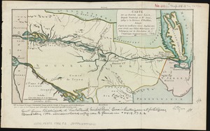
Carte de la route des lacs depuis Montréal et St. Jean jusqu'à la Riviere d'Hudson : réduite d'après les meilleures cartes...
10607.
Carte du gouvernement de Montréal
10608.
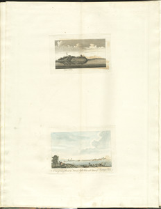
Castle William : A view of New Castle with the Fort and light house on the entrance of the Pisquataqua River
10609.
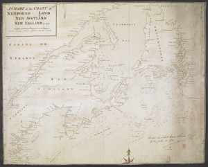
A CHART of the COAST OF NEWFOUND-LAND NEW SCOTLAND NEW ENGLAND &c. 1711
10610.
A chart of the North-American coast, for the navigation between Halifax and Philadelphia
10611.
The city of New York as laid out by the Commissioners with the surrounding country
10612.
Crow Harbor, on the south shore of Chedabuctou Bay
10613.
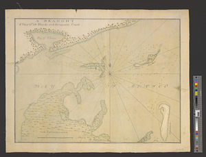
A draught of Ship & Catt islands and the opposite coast
10614.
A draught of the Bay of Honda
10615.
A draught of the river Missisippi. From the Balise to Fort Cavendish : taken in the months of June, July, August, September,...
10616.
Fishing grounds out of Boston : NLSECO marine diesel oil engines ; built by New London Ship & Engine Co., Groton, Conn
10617.
Guide of the New York State Reservation at Niagara
10618.
Hudson's River from Stony Pt. to Fort Montgomery
10619.
Infrastructure around Tobin Bridge/US route 1 in Charlestown
10620.
Klamath project, Oregon-California
‹ Prev
Next ›
1
2
…
527
528
529
530
531
532
533
534
535
…
541
542