Toggle navigation
LMEC Home
Exhibitions
Georeferencing
Tools for Teachers
Collections
My Favorites
Sign Up / Log In
Search
Search the map portal
Map Collection
Map Collection
Map Sets
Search
Search
Search for
Search In
All Fields
Creator
Title
Subject
Place
Search All Digital Collections
Advanced Search
722 Results
My Search
Start Over
Subject
aerial views
Remove constraint Subject: aerial views
Filter your Search
Place
North and Central America
651
United States
618
Suffolk (county)
65
Boston
63
Middlesex (county)
53
Worcester (county)
42
Europe
38
Norfolk (county)
33
more
Place
»
Topic
Boston (Mass.)--Aerial views
42
Franco-Prussian War, 1870-1871--Aerial views
7
Aerial views
6
France--History--1789-1900--Aerial views
6
Germany--History--1789-1900--Aerial views
6
United States--History--Revolution, 1775-1783--Maps
6
Boston (Mass.)--History--Revolution, 1775-1783--Aerial views--Early works to 1800
5
Boston (Mass.)--History--Siege, 1775-1776--Aerial views--Early works to 1800
5
more
Topic
»
Date
Date range begin
–
Date range end
Current results range from
1493
to
2020
View distribution
Creator
O.H. Bailey & Co
146
Norris, George E.
51
Burleigh, L. R., 1853-1923
47
Bailey, O. H. (Oakley Hoopes), 1843-1947
41
Poole, A. F.
22
Bailey, H. H. (Howard Heston), 1836-1878
20
Bachmann, John, fl. 1849-1885
8
Fowler, T. M. (Thaddeus Mortimer), 1842-1922
8
more
Creator
»
Format
Maps/Atlases
699
Prints
18
Manuscripts
12
Drawings/Illustrations
11
Georeferenced
Yes
5
No
717
Collection
Norman B. Leventhal Map Center Collection
694
Urban Maps
575
Boston and New England Maps
449
American Revolutionary War-Era Maps
30
Richard H. Brown Revolutionary War Map Collection at Mount Vernon
11
Boston Redevelopment Authority Collection
8
William L. Clements Library Collection
7
Library of Congress Collection
4
more
Collection
»
Available to use
No known restrictions
691
Creative Commons license
20
Search Constraints
Sort by date (desc)
relevance
title
date (asc)
date (desc)
Number of results to display per page
20 per page
10
per page
20
per page
50
per page
100
per page
View results as:
grid view
map view
Search Results
1.
Jamaica Plain view of the world
2.
Back Bay view of the world
3.
View of SoWa food trucks
4.
A South Ender's view of the world
5.
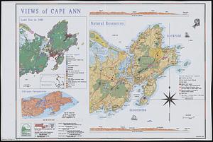
Views of Cape Ann
6.
Aerial photograph of South Boston
7.
Aerial photograph of South Boston
8.
A cidade de Angra na ilha de Iesu xpō da Tercera que esta em 39. graos
9.
Aerial photo of Charlestown, Massachusetts
10.
Outline map and view of the Prudential Center area
11.
Views of the area around Dudley Station in Roxbury
12.
Boston Harbor : challenges and opportunities for the 1980's
13.
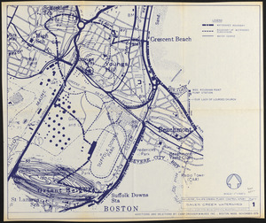
Revere, Sales Creek - flood control study
14.
Morrisville, Bucks County, Pennsylvania, 1893
15.
Panorama from the Pinnacle ("Acorn Hill," 1371'), Lyme, N.H.
16.
Boston proper
17.
Cape Cod and the islands
18.
A Scott-Map of Boston, Massachusetts
19.
Italy with Vatican City
20.
Newsmap : week of October 14 to October 21, 215th week of the war, 97th week of U.S. participation. Monday, October 25, 1943
‹ Prev
Next ›
1
2
3
4
5
…
36
37