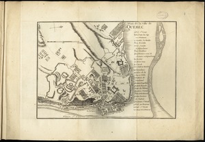
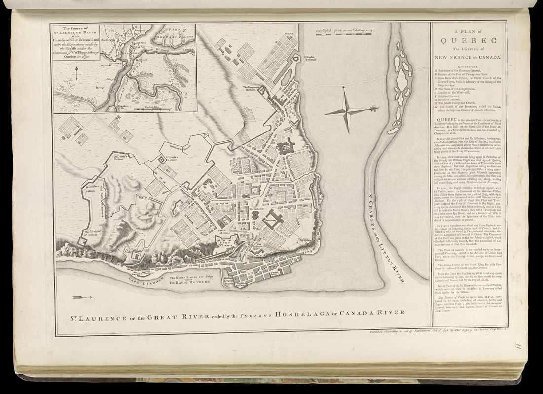
A plan of Quebec the capital of New France or Canada
This map is also available in American Revolutionary Geographies Online (ARGO), a collections portal especially built for material relating to the American Revolutionary War Era. Visit ARGO to learn more about this item and explore the historical geography of North America in the late eighteenth century.
Item Information
- Title:
- A plan of Quebec the capital of New France or Canada
- Creator:
- Jefferys, Thomas, -1771
- Date:
-
[1768]
- Format:
-
Maps/Atlases
- Location:
-
Boston Public Library
Norman B. Leventhal Map & Education Center - Collection (local):
-
Norman B. Leventhal Map & Education Center Collection
- Subjects:
-
Québec (Québec)--Maps--Early works to 1800
- Places:
-
CanadaQuebec (province)Québec
- Extent:
- 1 map ; 33 x 40 cm.
- Terms of Use:
-
No known copyright restrictions.
No known restrictions on use.
- Publisher:
-
London :
Thos. Jefferys
- Scale:
-
Scale [ca. 1:3,375]
- Language:
-
English
- Notes:
-
Oriented with north to the right.
Relief shown by hachures.
Inset: The course of St. Laurence River from Chaudiere Fall to Orleans Island.
Includes references and text.
Appears in Jefferys' General topography of North America and the West Indies. London: Printed for Robert Sayer, ... and Thomas Jefferys, 1768.
- Notes (date):
-
This date is inferred.
- Notes (citation):
-
LC Maps of North America, 608
Phillips, 1196
- Identifier:
-
4000137_0028r
- Call #:
-
G1105 .J4 1768
- Barcode:
-
30000003253857