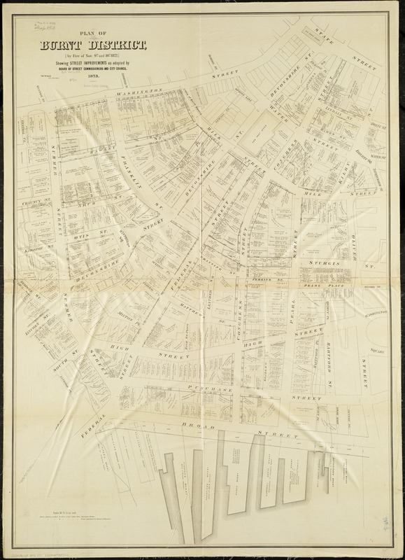
Plan of burnt district by fire of Nov. 9th and 10th, 1872 : showing street improvements as adopted by Board of Street Commissioners and City Council
Item Information
- Title:
- Plan of burnt district by fire of Nov. 9th and 10th, 1872 : showing street improvements as adopted by Board of Street Commissioners and City Council
- Creator:
- Davis, Thomas W., surveyor
- Name on Item:
-
Thos. W. Davis, city surveyor.
- Date:
-
1876
- Format:
-
Maps/Atlases
- Location:
-
Boston Public Library
Norman B. Leventhal Map & Education Center - Collection (local):
-
Norman B. Leventhal Map & Education Center Collection
- Subjects:
-
Great Fire, Boston, Mass., 1872--Maps
Boston (Mass.)--Maps
- Places:
-
MassachusettsSuffolk (county)Boston
- Extent:
- 1 map ; 137 x 97 cm.
- Terms of Use:
-
No known copyright restrictions.
No known restrictions on use.
- Publisher:
-
Boston :
[s.n.]
- Scale:
-
Scale 1:600.
- Language:
-
English
- Notes:
-
Oriented with north toward the upper right.
- Identifier:
-
06_01_004245
- Call #:
-
G3764.B6E29 1873 .P5x
- Barcode:
-
39999059005247


