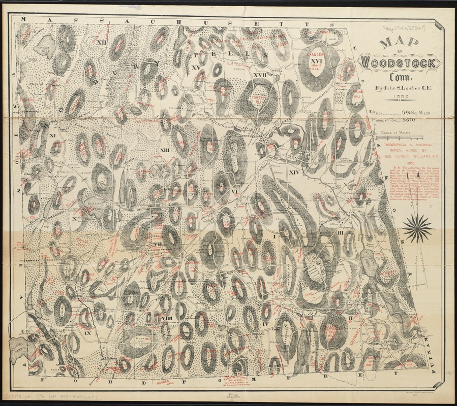
Map of Woodstock, Conn
Item Information
- Title:
- Map of Woodstock, Conn
- Creator:
- Lester, John S., ca. 1834-1910
- Name on Item:
-
by John S. Lester ; topographical & historical names, added by Geo. Clinton Williams.
- Date:
-
1886
- Format:
-
Maps/Atlases
- Location:
-
Boston Public Library
Norman B. Leventhal Map & Education Center - Collection (local):
-
Norman B. Leventhal Map & Education Center Collection
- Subjects:
-
Woodstock (Conn.)--Maps
- Places:
-
ConnecticutWindham (county)Woodstock
- Extent:
- 1 map : col. ; 61 x 71 cm.
- Terms of Use:
-
No known copyright restrictions.
No known restrictions on use.
- Publisher:
-
Boston :
Heliotype Print. Co.
- Scale:
-
Scale [ca. 1:21,000]
- Language:
-
English
- Notes:
-
Relief shown by hachures.
"The authorities for the names used are the Statutes, town, and other records, usage, historical and natural facts, and early occupation or ownership. Formerly the terms "North, South, and West Parish" or "New Roxbury," "Old Town," or "The Common", "Arnold Town," "Muddy Brook," "Village Corners," "The City", and "Stogy Hollow," were familiar local names for the different communities. The dotted parallel lines are old "range" or "cross" roads. The names of house owners are not all contemporary."
- Identifier:
-
06_01_009506
- Call #:
-
G3784.W9 1886 .L47
- Barcode:
-
39999065662197
- LCCN:
-
gm 69002509


