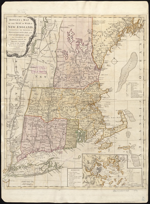
Bowles's map of the seat of war in New England, comprehending the provinces of Massachusets Bay, and New Hampshire : with the colonies of Connecticut and Rhode Island ; divided into counties and townships ; together with an accurate plan of the town, harbour & environs of Boston
This map is also available in American Revolutionary Geographies Online (ARGO), a collections portal especially built for material relating to the American Revolutionary War Era. Visit ARGO to learn more about this item and explore the historical geography of North America in the late eighteenth century.
Item Information
- Title:
- Bowles's map of the seat of war in New England, comprehending the provinces of Massachusets Bay, and New Hampshire : with the colonies of Connecticut and Rhode Island ; divided into counties and townships ; together with an accurate plan of the town, harbour & environs of Boston
- Creator:
- Bowles, Carington, 1724-1793
- Date:
-
1776
- Format:
-
Maps/Atlases
- Location:
-
Boston Public Library
Norman B. Leventhal Map & Education Center - Collection (local):
-
Norman B. Leventhal Map & Education Center Collection
- Subjects:
-
New England--Maps--Early works to 1800
Boston Harbor (Mass.)--Maps--Early works to 1800
Boston (Mass.)--Maps--Early works to 1800
United States--History--Revolution, 1775-1783--Maps--Early works to 1800
- Places:
-
New England (area)
MassachusettsBoston Harbor
MassachusettsSuffolk (county)Boston
- Extent:
- 1 map : col. ; 63 x 52 cm.
- Terms of Use:
-
No known copyright restrictions.
No known restrictions on use.
- Publisher:
-
London :
Printed for Carington Bowles
- Scale:
-
Scale 1:760,000.
- Language:
-
English
- Notes:
-
Relief shown pictorially.
State 3 of Jeffery's Map of the most inhabited part of New England.
Untitled inset shows Boston and its harbor and includes a table of references.
- Identifier:
-
06_01_006274
- Call #:
-
G3720 1776 .B69
- Barcode:
-
39999059022002


