Toggle navigation
LMEC Home
Exhibitions
Georeferencing
Tools for Teachers
Collections
My Favorites
Sign Up / Log In
Search
Search the map portal
Map Collection
Map Collection
Map Sets
Search
Search
Search for
Search In
All Fields
Creator
Title
Subject
Place
Search All Digital Collections
Advanced Search
200 Results
My Search
Start Over
1868
Remove constraint 1868
Filter your Search
Place
United States
139
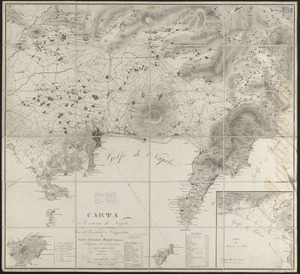
North and Central America
85
Boston
28
Europe
27
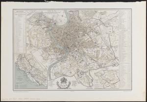
Suffolk (county)
26
Asia
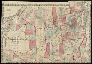
9
Massachusetts
5
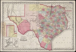
New York
5
more
Place
»
Topic
United States--Maps
71
Elections--United States--Maps
33
Boston (Mass.)--Maps
19
Population density--United States--Maps
14
Pictorial maps
13
Suffrage--United States--Maps
6
Voting--United States--Maps
6
Boston Harbor (Mass.)--Maps
4
more
Topic
»
Date
Date range begin
–
Date range end
Current results range from
1817
to
1932
View distribution
Creator
Paullin, Charles Oscar, 1868 or 1869-1944
70
Wright, John Kirtland, 1891-1969
70
United States. Hydrographic Office
17
Mitchell, S. Augustus (Samuel Augustus), 1792-1868
15
Mitchell, S. Augustus, (Samuel Augustus), Jr
14
Harvey, William, 1796-1873
12
Hodder and Stoughton
12
Lancaster, Elizabeth Lilian, 1852-1939
12
more
Creator
»
Format
Maps/Atlases
198
Objects/Artifacts
1
Photographs
1
Prints
1
Georeferenced
Yes
35
No
165
Collection
Norman B. Leventhal Map Center Collection
194
Boston and New England Maps
36
Urban Maps
36
Maritime Charts and Atlases
18
Mapping Boston Collection
7
Robert E. Diefenbach Map Collection at Phillips Academy
4
MacLean Collection Map Library
1
Town plans, 1830
1
Available to use
No known restrictions
122
Creative Commons license
7
Search Constraints
Sort by relevance
relevance
title
date (asc)
date (desc)
Number of results to display per page
50 per page
10
per page
20
per page
50
per page
100
per page
View results as:
grid view
map view
Search Results
1.
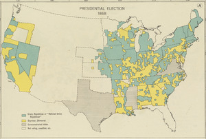
Presidential election 1868
2.
Fairmount Park, Philadelphia, 1868 : with limits, as prescribed in Act of Assembly, approved March 26th, 1868 : showing the...
3.
Insurance map of Chicago, 1868-9
4.
Insurance map of Charlestown : portions of Roxbury (now annexed to Boston) and Cambridge : 1868 : corrected Nov. 1871
5.
West Indies, island of Guadeloupe, Port du Moule : from a French survey in 1868
6.
West Indies, Island of Guadeloupe, Port Louis : from a French survey in 1868
7.
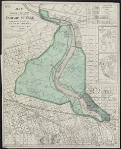
Map of farms and lots embraced within the limits of Fairmount Park as appropriated for public use by Act of Assembly, approved...
8.
Harbors and anchorages in Magellan Strait : from British surveys in 1868 & 1880, corrected to 1882
9.
West Indies, Port San Juan, north side of Porto Rico : from a Spanish survey in 1868, corrected to 1874
10.
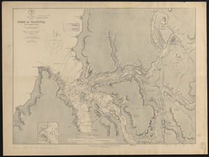
South America, Chile, Port of Valdivia and approaches : from a Chilean government survey in 1868-70 corrected to 1882
11.
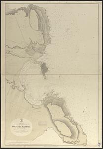
Mediterranean, Sicily, east coast, Syracuse Harbor : from a British survey in 1868 ; republication of Brit. Admty. chart no. 182
12.
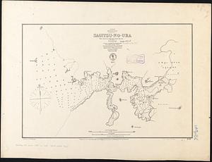
Japan, Kiusiu, w. coast, Sagitsu-no-Ura : from a survey by Commander E.W. Brooker, R.N. and the officers of H.M.S. Sylvia, 1868
13.
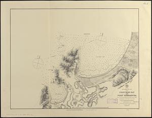
South America--west coast, Chile, Coquimbo Bay and Port Herradura : from a survey by the officers of H.B.M.S. Nassau, 1868 ;...
14.
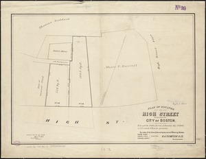
Plan of estates on High Street belonging to the City of Boston : to be sold by public auction on Thursday May 21st 1868, at 12...
15.
Plan of Suffolk Street District : showing estates & buildings as proposed to be taken by the City of Boston under the Act of...
16.
La vue a vol d'oiseau de l'Abbaye de Saint-Martin de Laon (de l'Ordre de Prémontré)
17.
Map of the survey of Wissahickon Creek from its mouth to Paul's Mill Road defining boundaries of land appropriated by the...
18.
[Map of Salem, Mass.]
19.
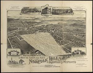
Bird's eye view and sketch of house lots for sale on Norfolk Hills in Braintree & Weymouth : belonging to Messrs A.H. Hews and...
20.
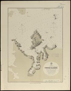
Harbors and anchorages on the eastern coast of Newfoundland : republication of British Adm. charts no. 294 & 489
21.
France et états limitrophes
22.
Baltic Sea : additional plans to chart no. 293
23.
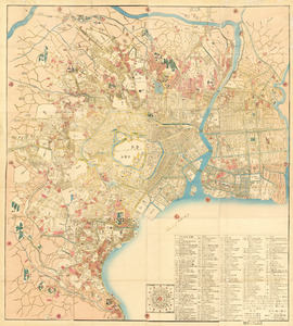
Kaisei On’edo oezu
24.
Colton's map of the territory of Alaska : (Russian America) ceded by Russia to the United States
25.
Ausicht von Boston : nach der natur aufgenommen
26.
Official map of the territory of Dakota, showing the two general divisions of Dakota, South and North, the land districts,...
27.
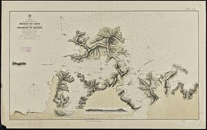
West coast of Korea, Ping Yang Inlet
28.
Edinburgh
29.
Japan, Kiusiu Island, n.w. coast, Yobuko Harbor
30.
Japan, west coast of Kiusiu, the northern entrance of Hirado-no-Seto (Spex Strait) with the harbor of Yebukuro-no-Minato
31.
Changes in the bed of Boston Harbor from a comparison of the surveys of 1835-61
32.
Putman School, 6th Grade
33.
Carta de' contorni di Napoli
34.
227 Harzgerode
35.
Behring's Sea and Arctic Ocean : from surveys of the U.S. North Pacific Surveying Expedition in 1855, Commander John Rodgers,...
36.
Hyde Park, Massachusetts : 1890
37.
Map of the island of Nantucket, including Tuckernuck
38.
New correct map of the flat surface, stationary earth
39.
Plan de Rome
40.
Plan for the occupation of flats owned by the Commonwealth in Boston Harbor
41.
Colton's Florida
42.
Map of the New York wilderness
43.
Germany
44.
A map of Cape Cod
45.
New map of the state of Texas
46.
Plan of Church St. district, showing estates and buildings : as proposed to be taken by the city of Boston under the Act of the...
47.
Ireland
48.
Scotland
49.
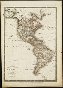
Karte von America
50.
Holland and Belgium
‹ Prev
Next ›
1
2
3
4


![[Map of Salem, Mass.]](https://bpldcassets.blob.core.windows.net/derivatives/images/commonwealth:8336h3099/image_thumbnail_300.jpg)