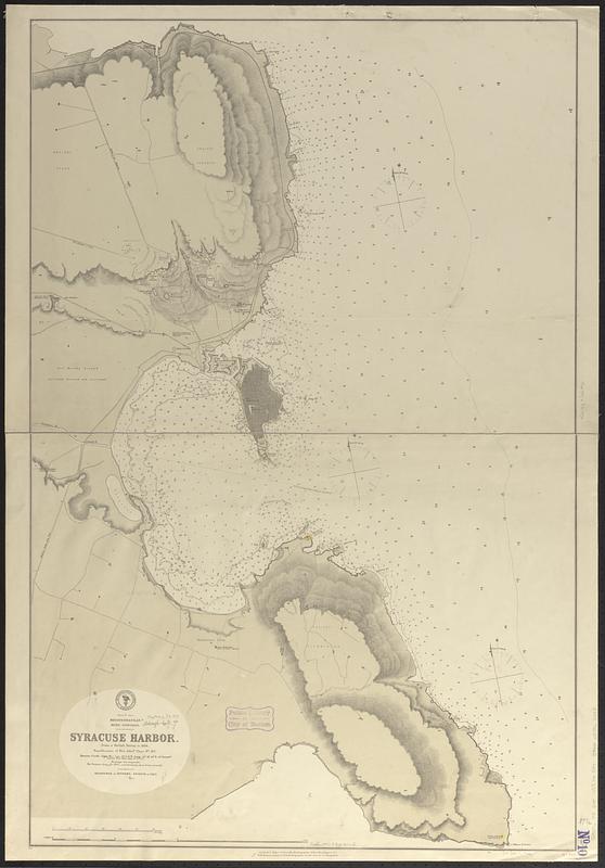
Mediterranean, Sicily, east coast, Syracuse Harbor : from a British survey in 1868 ; republication of Brit. Admty. chart no. 182
Item Information
- Title:
- Mediterranean, Sicily, east coast, Syracuse Harbor : from a British survey in 1868 ; republication of Brit. Admty. chart no. 182
- Issuing body:
- United States. Hydrographic Office
- Date:
-
1874
- Format:
-
Maps/Atlases
- Genre:
-
Nautical charts
- Location:
-
Boston Public Library
Norman B. Leventhal Map & Education Center - Collection (local):
-
Norman B. Leventhal Map & Education Center Collection
- Subjects:
-
Syracuse (Italy)--Maps
Harbors--Italy--Syracuse
Nautical charts--Italy--Syracuse
- Places:
-
ItalySicily (region)Siracusa (province)Syracuse
- Extent:
- 1 map ; 96 x 63 cm
- Terms of Use:
-
No known copyright restrictions.
No known restrictions on use.
- Publisher:
-
Washington, D.C. :
Hydrographic Office
- Scale:
-
Scale approximately 1:12,800
- Language:
-
English
- Notes:
-
Relief shown by hachures and spot heights. Depths shown by soundings and isolines.
- Identifier:
-
06_01_017716
- Call #:
-
G9096.P5 svar .U55 no. 544
- Barcode:
-
39999085962288


