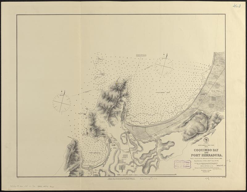
South America--west coast, Chile, Coquimbo Bay and Port Herradura : from a survey by the officers of H.B.M.S. Nassau, 1868 ; republication of Brit. Admty. chart no. 574
Item Information
- Title:
- South America--west coast, Chile, Coquimbo Bay and Port Herradura : from a survey by the officers of H.B.M.S. Nassau, 1868 ; republication of Brit. Admty. chart no. 574
- Issuing body:
- United States. Hydrographic Office
- Date:
-
1876
- Format:
-
Maps/Atlases
- Genre:
-
Nautical charts
- Location:
-
Boston Public Library
Norman B. Leventhal Map & Education Center - Collection (local):
-
Norman B. Leventhal Map & Education Center Collection
- Subjects:
-
Coquimbo Bay (Chile)--Maps
Herradura de Guayacán Bay (Chile)--Maps
Nautical charts--Chile--Coquimbo Bay
Nautical charts--Chile--Herradura de Guayacán Bay
- Places:
-
ChileCoquimbo (region)Coquimbo, Bahía (bay)
ChileCoquimbo (region)Herradura de Guayacán, Bahía (bay)
- Extent:
- 1 map ; 54 x 70 cm
- Terms of Use:
-
No known copyright restrictions.
No known restrictions on use.
- Publisher:
-
Washington, D.C. :
Hydrographic Office
- Scale:
-
Scale approximately 1:19,100
- Language:
-
English
- Notes:
-
Relief shown by hachures and spot heights. Depths shown by soundings and isolines.
- Identifier:
-
06_01_017401
- Call #:
-
G9096.P5 svar .U55 no. 716
- Barcode:
-
39999085959060


