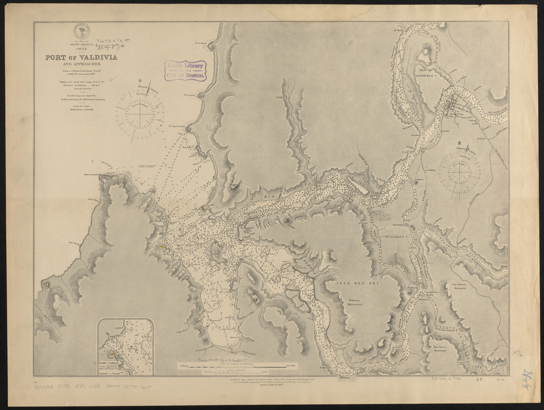
South America, Chile, Port of Valdivia and approaches : from a Chilean government survey in 1868-70 corrected to 1882
Item Information
- Title:
- South America, Chile, Port of Valdivia and approaches : from a Chilean government survey in 1868-70 corrected to 1882
- Title (alt.):
-
Port of Valdivia and approaches
- Issuing body:
- United States. Hydrographic Office
- Date:
-
1889
- Format:
-
Maps/Atlases
- Location:
-
Boston Public Library
Norman B. Leventhal Map Center - Collection (local):
-
Norman B. Leventhal Map Center Collection
- Subjects:
-
Nautical charts--Chile--Corral Bay
Corral Bay (Chile)--Maps
Valdivia (Chile)--Maps
- Places:
-
ChileLos Lagos (region)Corral, Bahía (bay)
- Extent:
- 1 map ; 48 x 64 cm
- Terms of Use:
-
No known copyright restrictions.
No known restrictions on use.
- Publisher:
-
Washington, D.C. :
Hydrographic Office
- Edition:
- Edition of March 1889
- Scale:
-
Scale approximately 1:14,500
- Language:
-
English
- Notes:
-
Relief shown by hachures and spot heights. Depths shown by soundings and isolines.
Inset: Port Corral.
- Identifier:
-
06_01_015837
- Call #:
-
G9096.P5 svar .U55
- Barcode:
-
39999085940649


