Toggle navigation
LMEC Home
Exhibitions
Georeferencing
Tools for Teachers
Collections
My Favorites
Sign Up / Log In
Search
Search the map portal
Map Collection
Map Collection
Map Sets
Search
Search
Search for
Search In
All Fields
Creator
Title
Subject
Place
Search All Digital Collections
Advanced Search
281 Results
My Search
Start Over
1880
Remove constraint 1880
Filter your Search
Place
North and Central America
251
United States
240
Massachusetts
97
Wisconsin
46
Suffolk (county)
41
Boston
39
Worcester (county)
14
Essex (county)
13
more
Place
»
Topic
Manuscript maps
47
Boston (Mass.)--Maps
16
United States--Maps
8
City planning--Massachusetts--Boston--Maps
6
New England--Maps
5
Real property--Massachusetts--Boston--Maps
5
Dorchester (Boston, Mass.)--Maps
4
East Boston (Boston, Mass.)--Maps
4
more
Topic
»
Date
Date range begin
–
Date range end
Current results range from
1756
to
2008
View distribution
Creator
United States. Hydrographic Office
19
Campbell-Copeland, T. (Thomas)
7
Dougal, William H., 1822-1895
7
Harper & Brothers
7
U.S. Lake Survey
7
O.H. Bailey & Co
6
Bigelow, E. H.
5
United States. Topographical Bureau
5
more
Creator
»
Format
Maps/Atlases
279
Manuscripts
92
Books
4
Prints
1
Georeferenced
Yes
20
No
261
Collection
Norman B. Leventhal Map & Education Center Collection
262
Boston and New England Maps
100
Urban Maps
67
Maritime Charts and Atlases
27
Massachusetts Real Estate Atlases
8
American Revolutionary War-Era Maps
5
Robert E. Diefenbach Map Collection at Phillips Academy
5
Campus Maps from Phillips Academy Archives and Special Collections
2
more
Collection
»
Available to use
No known restrictions
266
Creative Commons license
3
Search Constraints
Sort by date (asc)
relevance
title
date (asc)
date (desc)
Number of results to display per page
20 per page
10
per page
20
per page
50
per page
100
per page
View results as:
grid view
map view
Search Results
1.
A Correct Plan of the Province of New Hampshire together with part of Hudsons River from Albany to Lake George and from thence...
2.
Plan de la rivière du Cap Fear depuis la barre jusques à Brunswick
3.
El Guarico, alias, el cavo Frances, es una de las colonias y puertos qe. poseen los Franceses en la parte occidental de la Ysla...
4.
Plan of the city of Hartford from a survey made in 1824
5.
Plan of West Stockbridge made by B. H. Lewis, dated 1831
6.
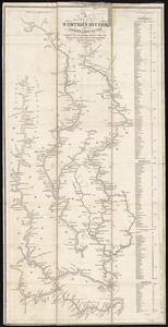
A new map of the western rivers, or, Travellers guide : exhibiting the Mississippi, Missouri, Ohio, and Illinois rivers with...
7.
Frank Leslie's war maps and companion to the newspaper
8.
Boston Bay and approaches
9.
Comparative map of Cape Cod Harbor showing physical changes between the survey of Maj. J.D. Graham in 1835, and the U.S. Coast...
10.
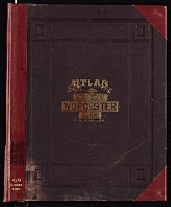
Atlas of the city of Worcester, Worcester County, Massachusetts
11.
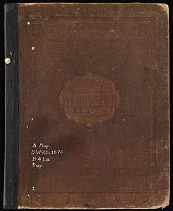
Atlas of Worcester County, Massachusetts
12.
Globes
13.
Kriegs-karte 1870
14.
Plan of house lots in ward 16 : owned by Saml. B. Pierce & Geo. C. Ludington, Boston, near the Dorchester Station, Norfolk...
15.
Plan of land in Sharon belonging to the Massapoag Lake Company
16.
Plan of real estate belonging to T.W. & J.H. Cox : situated in ward 16, Boston
17.
Plat of lots in Boston (Dorchester Dist.) belonging to B.P. Cunningham
18.
Columbia lays aside her laurels to mourn at the burning of her birth-place
19.
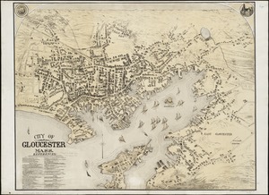
City of Gloucester, Mass
20.
County atlas of Hampshire, Massachusetts
‹ Prev
Next ›
1
2
3
4
5
…
14
15