Toggle navigation
LMEC Home
Exhibitions
Georeferencing
Tools for Teachers
Collections
My Favorites
Sign Up / Log In
Search
Search the map portal
Map Collection
Map Collection
Map Sets
Search
Search
Search for
Search In
All Fields
Creator
Title
Subject
Place
Search All Digital Collections
Advanced Search
20 Results
My Search
Start Over
1988
Remove constraint 1988
Filter your Search
Place
North and Central America
19
United States
19
Boston
11
Suffolk (county)
11
Massachusetts
5
Charlestown
2
Government Center
2
Worcester (county)
2
more
Place
»
Topic
City planning--Massachusetts--Boston--Maps
6
Boston (Mass.)--Maps
4
Landscape gardening--Massachusetts--Boston--Maps
3
Buildings--Massachusetts--Boston--Maps
2
Charlestown (Boston, Mass.)--Maps
2
City planning districts--Massachusetts--Boston--Maps
2
Government Center (Boston, Mass.)--Maps
2
Land use--Massachusetts--Boston--Maps
2
more
Topic
»
Date
Date range begin
–
Date range end
Current results range from
1768
to
1989
View distribution
Creator
Boston Redevelopment Authority
5
Massachusetts. Executive Office of Environmental Affairs
4
MassGIS (Office : Mass.)
3
Boston (Mass.). Mayor's Office of Arts and Humanities
2
Benjamin Thompson and Associates
1
Bickhart, Richard
1
Boston Zoning Commission
1
Bryant Associates
1
more
Creator
»
Format
Maps/Atlases
20
Georeferenced
No
20
Collection
Boston and New England Maps
14
Norman B. Leventhal Map Center Collection
14
Urban Maps
10
Boston Redevelopment Authority Collection
9
David Judkins Weaver Papers
4
American Revolutionary War-Era Maps
1
Applied Geographics, Inc. Records
1
Lucius Beebe Memorial Library Historic Maps
1
more
Collection
»
Available to use
No known restrictions
20
Search Constraints
Sort by relevance
relevance
title
date (asc)
date (desc)
Number of results to display per page
20 per page
10
per page
20
per page
50
per page
100
per page
View results as:
grid view
map view
Search Results
1.
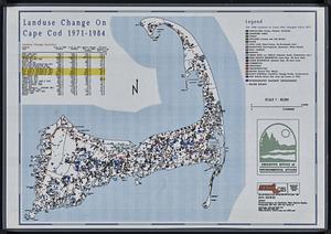
Landuse change on Cape Cod 1971-1984
2.
St. Christophers
3.
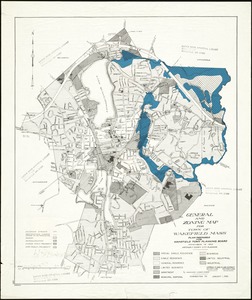
General and zoning map for town of Wakefield Mass.
4.
Zoning districts, city of Boston
5.
Charlestown Navy Yard area
6.
Aerial photograph of South Boston
7.
The nuclear weapons complex transportation routes
8.
Massachusetts Bay Transportation Authority system map
9.
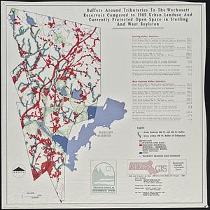
Buffers around tributaries to the Wachusett Reservoir compared to 1985 urban landuse and currently protected open space in...
10.
Charlestown Veterans Memorial, Charlestown, Massachusetts
11.
Chesapeake Bay, environmentally sensitive areas
12.
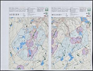
DEP water supply contamination correction program underground storage tank locations compared to natural resource data : Auburn...
13.
Massachusetts river basins
14.
Cultural facilities conceptual plan
15.
Landscaping plan of City Hall Plaza, Boston
16.
Midtown area plan for the public realm
17.
Shawmut Avenue
18.
South End urban renewal area project Mass. r-56 site preparation contract no. 50 Worcester Square Park reconstruction
19.
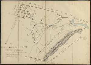
Plan of Easthampton made by Justus Dwight, dated May 1831
20.
New Congress Street improvements