Toggle navigation
LMEC Home
Exhibitions
Georeferencing
Tools for Teachers
Collections
My Favorites
Sign Up / Log In
Search
Search the map portal
Map Collection
Map Collection
Map Sets
Search
Search
Search for
Search In
All Fields
Creator
Title
Subject
Place
Search All Digital Collections
Advanced Search
13385 Results
Filter your Search
Place
North and Central America
9,353
United States
7,078
Suffolk (county)
1,664
Boston
1,621
Europe
1,035
Canada
949
Massachusetts
794
New York
532
more
Place
»
Topic
Boston (Mass.)--Maps
741
City planning--Massachusetts--Boston--Maps
418
United States--History--Revolution, 1775-1783--Maps
329
United States--Maps
315
Urban renewal--Massachusetts--Boston--Maps
254
Real property--Massachusetts--Boston--Maps
252
Massachusetts--Maps
219
Insurance surveys
197
more
Topic
»
Date
Date range begin
–
Date range end
Current results range from
1482
to
2023
View distribution
Creator
United States. Hydrographic Office
595
Boston Redevelopment Authority
403
Des Barres, Joseph F. W. (Joseph Frederick Wallet), 1722-1824
247
Royal United Services Institute for Defence and Security Studies
160
Jefferys, Thomas, -1771
154
George, III, King of Great Britain, 1738-1820
152
George, IV, King of Great Britain, 1762-1830
151
O.H. Bailey & Co
148
more
Creator
»
Format
Maps/Atlases
13,205
Manuscripts
985
Prints
102
Books
49
Drawings/Illustrations
44
Photographs
15
Objects/Artifacts
13
Documents
7
more
Format
»
Georeferenced
Yes
979
No
12,406
Collection
Norman B. Leventhal Map Center Collection
8,891
American Revolutionary War-Era Maps
3,305
Boston and New England Maps
2,804
Urban Maps
2,397
Maritime Charts and Atlases
1,150
William L. Clements Library Collection
910
Library of Congress Collection
618
Boston Redevelopment Authority Collection
475
more
Collection
»
Available to use
No known restrictions
9,952
Creative Commons license
1,677
Search Constraints
Sort by title
relevance
title
date (asc)
date (desc)
Number of results to display per page
100 per page
10
per page
20
per page
50
per page
100
per page
View results as:
grid view
map view
Search Results
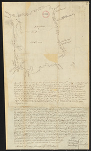
9401.
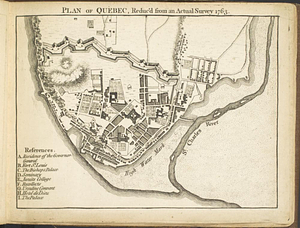
Plan of Québec, reduc'd from an actual survey 1763
9402.
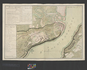
Plan of Quebec, the capital of Canada in North America, with the bason and part of the adjacent contry [sic] shewing the...
9403.
Plan of Quebec, the capital of Canada in North America, with the bason and part of the adjacent contry [sic] shewing the...
9404.
A plan of Quebec the capital of New France or Canada
9405.
Plan of Québec with the positions of the British and French army's on the Heights of Abraham 13th of Sept. 1759 : repetition...
9406.
Plan of Quincy House lot, corner of Brattle St. and Brattle Sq. belonging to the estate of Josiah Quincy Jr : to be sold by...
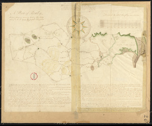
9407.
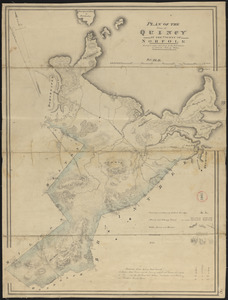
Plan of Quincy made by John G. Hales, dated 1830
9408.
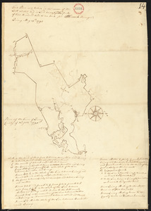
Plan of Quincy surveyed by W French, dated 1794-5.
9409.
Plan of railway stations and sidings in South Africa
9410.
Plan of Randolph made by Royal Turner, dated 1830
9411.
Plan of Randolph, made by "Set Turner Junior" according to Seth Turner Crawford of Randolph, his great great grandson, 10...
9412.
Plan of Raymond surveyed by Osgood Carleton, dated 1798.
9413.
Plan of Raynham made by Godfrey Robinson, dated September 27, 1831
9414.
Plan of Raynham, surveyor's name not given, dated 1794-5.
9415.
Plan of Readfield, Washington Plantation and Belgrade (Mt. Vernon), made by J Prescott, dated 1794-5.
9416.
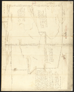
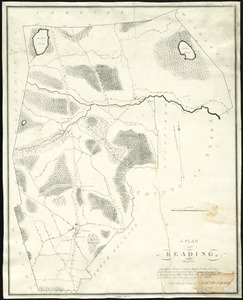
Plan of Reading and Lynnfield, made by Daniel Needham, dated November 1794. Scale 200 rds to 1 in.
9417.
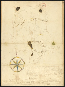
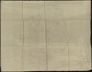
Plan of Reading made by Edmund Parker, dated 1830
9418.
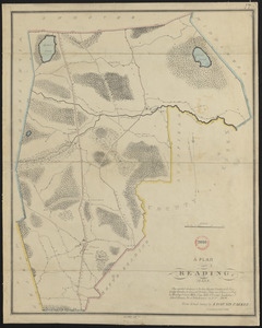
Plan of Reading, Mass. : showing roads, bodies of water, woodlands, homes, churches, schools, post offices, and taverns
9419.
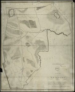
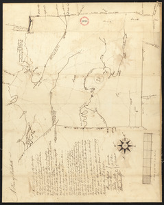
Plan of Reading, Mass
9420.
Plan of real estate belonging to Phillips Academy, Andover Mass.
9421.
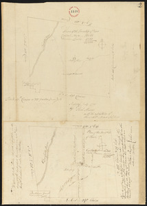
Plan of real estate belonging to T.W. & J.H. Cox : situated in ward 16, Boston
9422.
Plan of real estate in Charlestown belonging to Seth Barker & others : to be sold on the premises at public auction, June 26th,...
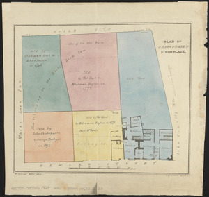
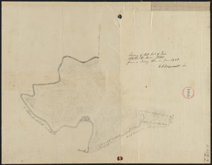
9423.
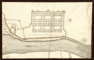
[Plan of real estate in Charlestown, showing park laid out]
9424.
Plan of real estate on Cambridge Street near Bowdoin Square, belonging to the heirs of the late Deacon Moses : to be sold by...
9425.
[Plan of real estate on Pearl Street, Boston]
9426.
Plan of region west of Back Bay Park, Boston, Mass. : proposed improvements
9427.
Plan of Rehoboth, surveyor's name not given, dated 1794-5.
9428.
Plan of Rehoboth, surveyor's name not given, dated 1830
9429.
[Plan of residences on Park Street in Boston]
9430.
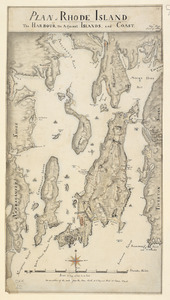
PLAN of RHODE ISLAND, the HARBOUR, the Adjacent ISLANDS, and COAST
9431.
Plan of Rhode-Island
9432.
Plan of Richmond, surveyor's name not given, dated 1830
9433.
Plan of Richmond, surveyor's name not given, dated March 1, 1795.
9434.
Plan of Rochester made by A. B. Hammond, dated 1830
9435.
Plan of Rochester, surveyor's name not given, dated 1794-5.
9436.
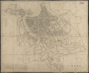
Plan of Rome
9437.
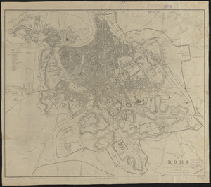
Plan of Rome
9438.
Plan of Rowe made by E. P. Farnsworth, dated June 1830
9439.
Plan of Rowe surveyed by Phineas Munn dated July 1793.
9440.
Plan of Rowe (Zoar) made by E. P. Farnsworth, dated 1839
9441.
Plan of Rowe's Wharf
9442.
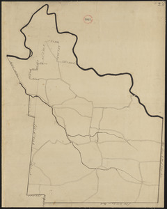
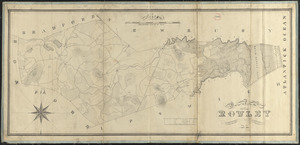
Plan of Rowley made by Philander Anderson, dated July 1830
9443.
Plan of Rowley surveyed by Joseph Chapin, dated December, 1794.
9444.
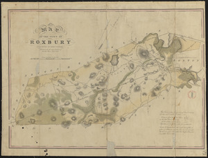
Plan of Roxbury made by John G. Hales, dated 1830
9445.
Plan of Roxbury, made by Mather Withington, dated November 1794.
9446.
Plan of Royalston made by Jonathan Blake, Jr., dated February 3, 1831
9447.
Plan of Royalston, made by William Town, dated November 1794.
9448.
Plan of Russell, surveyor's name not given, dated 1794.
9449.
Plan of Russell, surveyor's name not given, dated June 1831
9450.
Plan of Rutland made by John King, dated November 1830
9451.
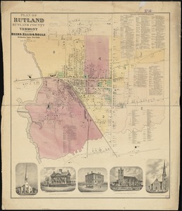
Plan of Rutland, Rutland County, Vermont
9452.
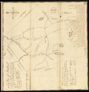
Plan of Rutland, surveyor's name not given, dated May 6, 1795.
9453.
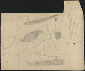
[Plan of Salem Common]
9454.
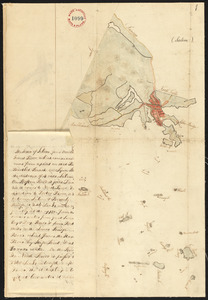
Plan of Salem made by Jonathan P. Saunders, dated 1832
9455.
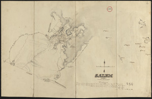
Plan of Salem, surveyor's name not given, dated 1794.
9456.
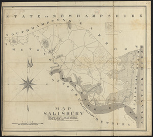
Plan of Salisbury made by Philander Anderson, dated September 1830
9457.
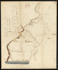
Plan of Salisbury, surveyor's name not given, dated 1794-5.
9458.
Plan of Sandisfield made by Luke Barber, dated December 24, 1830
9459.
Plan of Sandisfield made by Luke, Barber, dated December 24, 1830
9460.
Plan of Sandisfield made by Luke Barber, dated December 24, 1830
9461.
Plan of Sandisfield, surveyor's name not given, dated June 1795.
9462.
Plan of Sandwich made by Jesse Boyden, dated 1831
9463.
Plan of Sandwich, surveyor's name not given, dated 1795.
9464.
PLAN OF SANDY HOOK 28. Miles from New York
9465.
Plan of Sanford, ME, surveyor's name not given, dated 1794-5.
9466.
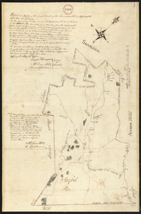
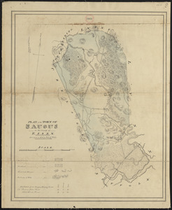
Plan of Saugus made by John G. Hales, dated 1831
9467.
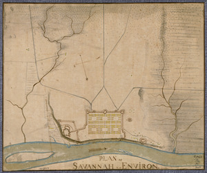
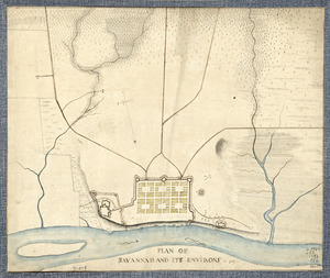
Plan of Savannah & its environs in 1782
9468.
Plan of Savannah and its environs in 1782
9469.
Plan of Savannah and its fortifications in 1782
9470.
Plan of Savoy made by Levi Leonard, dated June 1831
9471.
Plan of Scarborough, made by Moses Banks, dated April 20, 1795. Showing country roads only.
9472.
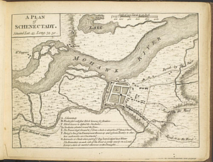
A plan of Schenectady situated lat. 43 long 74. 30
9473.
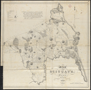
Plan of Scituate made by A. Robbins and S. A. Turner, dated 1831
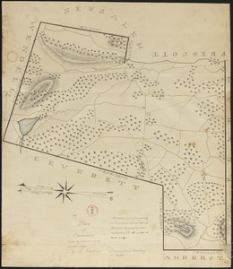
9474.
Plan of Scituate made by A. Robbins and S. A. Turner, dated 1831
9475.
Plan of Scituate, made by Charles Turner, dated 1794-5.
9476.
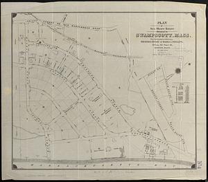
Plan of Sea Shore Estate situated in Swampscott, Mass.
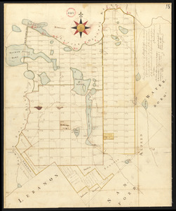
9477.
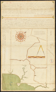
[Plan of section of proposed Charles River Park]
9478.
Plan of sections of 1, 2 & 3, East Boston
9479.
Plan of Sedgwick, surveyor's name not given, dated 1794-5.
9480.
Plan of Seekonk made by Joseph W. Capron, dated January 1831
9481.
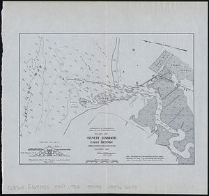
Plan of Sesuit Harbor in East Dennis : under chapter 32 resolves of 1907
9482.
A plan of Seven Island Harbour on the north side of the river St. Laurence latitude of the southermost [sic] island 50...
9483.
Plan of Shakspeare's birth-place
9484.
Plan of Shapleigh surveyed by Daniel Sewall, dated 1794-5.
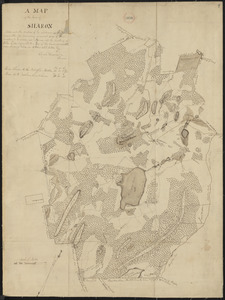
9485.
Plan of Sharon made by Elijah Hewins, dated October, 1830
9486.
Plan of Sharon, surveyor's name not given, dated 1794-5.
9487.
Plan of Sheffield made by Chester Owen, dated 1830
9488.
Plan of Sheffield surveyed by David Fairchild, dated November, 1794.
9489.
Plan of Shelburne made by E. S. Darling, dated October 1830
9490.
Plan of Shelburne, surveyor's name not given, datd November 1794.
9491.
Plan of Sherborn made by Dalton Goulding, dated 1831
9492.
Plan of Sherborn, surveyor's name not given, dated September 1794.
9493.
Plan of Sherburne Bluffs, Nantucket, Mass
9494.
Plan of Shirley made by Caleb Butler, dated 1830
9495.
Plan of Shrewsbury made by Henry Snow, dated 1830
9496.
Plan of Shrewsbury surveyed by Silas Keyes, dated 1794-5.
9497.
Plan of Shutesbury made by E. S. Darling, dated October 1830
9498.
Plan of Shutesbury, surveyor's name not given, dated April 1795.
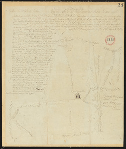
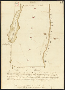
9499.
Plan of Sidney surveyed by Sylvester Moore and Ephraim Ballard, dated March 1795.
9500.
Plan of site for new court house on Pemberton Sq. and Somerset St. for the County of Suffolk : taken by authority of Chapter 377
‹ Prev
Next ›
1
2
…
91
92
93
94
95
96
97
98
99
…
133
134
![Plan of Quebec, the capital of Canada in North America, with the bason and part of the adjacent contry [sic] shewing the principal encampments and works of the British Army commanded by Maior General Wolfe and those of the French Army commanded by Lieut. General, the Marquis of Mont Calm during the siege of that place in 1759 [overlay down]](https://bpldcassets.blob.core.windows.net/derivatives/images/commonwealth:q524nd83b/image_thumbnail_300.jpg)
![Plan of Quebec, the capital of Canada in North America, with the bason and part of the adjacent contry [sic] shewing the principal encampments and works of the British Army commanded by Maior General Wolfe and those of the French Army commanded by Lieut. General, the Marquis of Mont Calm during the siege of that place in 1759 [overlay up]](https://bpldcassets.blob.core.windows.net/derivatives/images/commonwealth:q524nd81s/image_thumbnail_300.jpg)


![[Plan of real estate in Charlestown, showing park laid out]](https://bpldcassets.blob.core.windows.net/derivatives/images/commonwealth:1257bb01q/image_thumbnail_300.jpg)

![[Plan of real estate on Pearl Street, Boston]](https://bpldcassets.blob.core.windows.net/derivatives/images/commonwealth:9s161d705/image_thumbnail_300.jpg)

![[Plan of residences on Park Street in Boston]](https://bpldcassets.blob.core.windows.net/derivatives/images/commonwealth:9s161h36g/image_thumbnail_300.jpg)

![[Plan of Salem Common]](https://bpldcassets.blob.core.windows.net/derivatives/images/commonwealth:9s161g70k/image_thumbnail_300.jpg)

![[Plan of section of proposed Charles River Park]](https://bpldcassets.blob.core.windows.net/derivatives/images/commonwealth:x059cc51b/image_thumbnail_300.jpg)

![A plan of Seven Island Harbour on the north side of the river St. Laurence latitude of the southermost [sic] island 50 [degrees] 22' north](https://bpldcassets.blob.core.windows.net/derivatives/metadata/commonwealth-oai:98810p69w/image_thumbnail_300.jpg)