Toggle navigation
LMEC Home
Exhibitions
Georeferencing
Tools for Teachers
Collections
My Favorites
Sign Up / Log In
Search
Search the map portal
Map Collection
Map Collection
Map Sets
Search
Search
Search for
Search In
All Fields
Creator
Title
Subject
Place
Search All Digital Collections
Advanced Search
248 Results
My Search
Start Over
Date
1845
to
1849
Remove constraint Date: <span class='from'>1845</span> to <span class='to'>1849</span>
Filter your Search
Place
North and Central America
137
United States
114
Massachusetts
53
Europe
43
Oceania
32
Suffolk (county)
22
Boston
20
New England
16
more
Place
»
Topic
United States Exploring Expedition (1838-1842)
16
New England--Maps
12
Boston (Mass.)--Maps
10
Massachusetts--Maps
10
Railroads--New England--Maps
10
United States--Maps
10
Railroads--Massachusetts--Maps
8
Railroads--New York (State)--Maps
7
more
Topic
»
Date
1845
to
1849
[remove]
248
Date range begin
–
Date range end
Current results range from
1770
to
1990
1845
to
1845
111
1846
to
1846
119
1847
to
1847
114
1848
to
1848
116
1849
to
1849
138
Creator
United States Exploring Expedition (1838-1842)
34
Wilkes, Charles, 1798-1877
31
Sherman & Smith
19
J. & C. Walker (Firm)
10
Great Britain. Hydrographic Office
7
Vidal, A. T. E. (Alexander Thomas Emeric), 1792-1863
7
Horsburgh, James
5
Wadsworth, Alexander, 1806-1898
5
more
Creator
»
Format
Maps/Atlases
244
Manuscripts
14
Prints
3
Books
1
Georeferenced
Yes
32
No
216
Collection
Norman B. Leventhal Map & Education Center Collection
221
Boston and New England Maps
62
Maritime Charts and Atlases
52
Urban Maps
50
American Revolutionary War-Era Maps
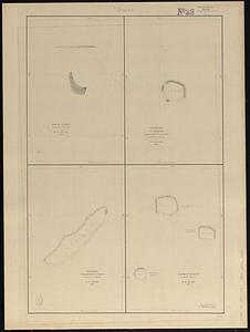
13
Library of Congress Collection
5
Robert E. Diefenbach Map Collection at Phillips Academy
5
Lucius Beebe Memorial Library Historic Maps
4
more
Collection
»
Available to use
No known restrictions
227
Creative Commons license
11
Search Constraints
Sort by relevance
relevance
title
date (asc)
date (desc)
Number of results to display per page
20 per page
10
per page
20
per page
50
per page
100
per page
View results as:
grid view
map view
Search Results
141.
A map of the Weald of Kent
142.
Map of the world, on Mercator's projection
143.
[Map of W. Dall's lots in Athens County, Washington County, and Gallia County, Ohio]
144.
A map showing the proposed branch railroads with the Old Colony Railroad : 1846
145.
Map showing the proposed line of the Manchester Rail Road as petitioned for by S.D. Bell & others
146.
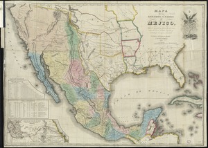
Mapa de los Estados Unidos de Méjico
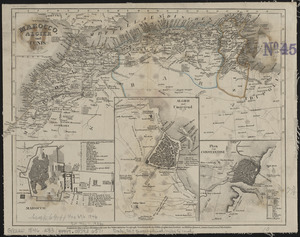
147.
Marocco, Algier und Tunis
148.
Massachusetts
149.
Massachusetts and Rhode Island
150.
M'Bua or Sandalwood Bay, island of Vanua Levu, Feejee Group
151.
Metia Island, Paumotu Group ; Taweree or St. Simeon or Resolution Island, Paumotu Group ; Takurea or Wolconsky Island, Paumotu...
152.
Mills map of the several routes proposed to the Pacific Ocean from the head waters of the Missouri, to the Isthmus of Darien
153.
Mittel- und Nord-Africa, westl. theil
154.
Mogg's strangers guide to London : exhibiting all the various alterations & improvements complete to the present time
155.
Mount Auburn, avenues and paths
156.
Nantucket Harbor
157.
Neuester situations-plan von Prag : nach einer originalzeichnung gestochen von C. Stein in Wien
158.
A new & complete map of the city of Boston, and precincts including part of Charlestown, Cambridge & Roxbury : from the best...
159.
A new & complete map of the city of Boston, with part of Charlestown, Cambridge & Roxbury
160.
A new map of Lake Champlain
‹ Prev
Next ›
1
2
…
4
5
6
7
8
9
10
11
12
13

![[Map of W. Dall's lots in Athens County, Washington County, and Gallia County, Ohio]](https://bpldcassets.blob.core.windows.net/derivatives/images/commonwealth:w9505s00n/image_thumbnail_300.jpg)