Toggle navigation
LMEC Home
Exhibitions
Georeferencing
Tools for Teachers
Collections
My Favorites
Sign Up / Log In
Search
Search the map portal
Map Collection
Map Collection
Map Sets
Search
Search
Search for
Search In
All Fields
Creator
Title
Subject
Place
Search All Digital Collections
Advanced Search
185 Results
My Search
Start Over
1885
Remove constraint 1885
Filter your Search
Place
North and Central America
150
United States
108
Massachusetts
39
Costa Rica
17
Boston
16
Europe
16
Suffolk (county)
16
Virginia
9
more
Place
»
Topic
Boston (Mass.)--Maps
7
Grant, Ulysses S. (Ulysses Simpson), 1822-1885
5
Fire risk assessment--Massachusetts--Boston--Maps
4
Richmond (Va.)--History--Civil War, 1861-1865--Maps
4
Boston (Mass.)--Aerial views
3
Europe--Maps
3
North Carolina--Maps
3
Bahamas--Maps
2
more
Topic
»
Date
Date range begin
–
Date range end
Current results range from
1694
to
1925
View distribution
Creator
United States. Hydrographic Office
48
O.H. Bailey & Co
21
Franke, M. (Max)
11
Geological Survey (U.S.)
9
Ruebsam, E. A. (E. August)
9
Bachmann, John, fl. 1849-1885
8
Erni, A. (Adolphe)
7
Lesher, C. E. (Carl Eugene), 1885-
7
more
Creator
»
Format
Maps/Atlases
182
Manuscripts
3
Prints
2
Books
1
Georeferenced
Yes
10
No
175
Collection
Norman B. Leventhal Map & Education Center Collection
180
Urban Maps
60
Maritime Charts and Atlases
55
Boston and New England Maps
47
Lucius Beebe Memorial Library Historic Maps
1
Massachusetts Real Estate Atlases
1
Ralph Finos Map Collection at Phillips Academy
1
Sidney R. Knafel Map Collection at Phillips Academy
1
more
Collection
»
Available to use
No known restrictions
183
Search Constraints
Sort by relevance
relevance
title
date (asc)
date (desc)
Number of results to display per page
20 per page
10
per page
20
per page
50
per page
100
per page
View results as:
grid view
map view
Search Results
141.
The Grecian archipelago, from the latest surveys
142.
Lansdale : Pennsylvania
143.
Map of Aroostook County, Maine
144.
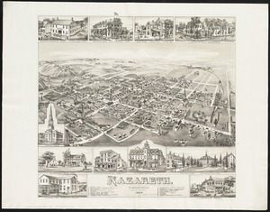
Nazareth : Pennsylvania
145.
Northern Pacific Rail Road and connections
146.
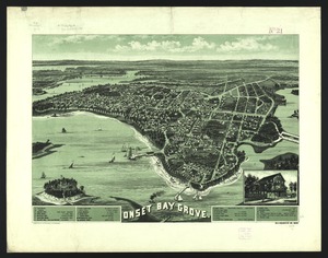
Onset Bay Grove, Wareham, Mass
147.
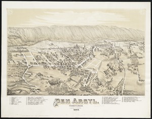
Pen Argyl : Pennsylvania
148.
Plan of site for new court house on Pemberton Sq. and Somerset St. for the County of Suffolk : taken by authority of Chapter 377
149.
Portland, Penn
150.
Quakertown : Pennsylvania
151.
Thun-Interlaken
152.
Verkehrs-karte von Europa : übersichts grösserer eisenbahnverbindungen, telegraphen und überseeischer dampfschiffahrt
153.
View of Sea Isle City : New Jersey
154.
View of the city of St. Augustine, Fla : the oldest town in the United States, Juan de Ponce de Leon ldd [?] 1512
155.
General plan of Franklin Park
156.
[Plan for proposed Charles River Park]
157.
Atlas of Brookfield, West Brookfield and No. Brookfield towns, Massachusetts : compiled from recent and actual surveys and records
158.
Atlas of Brookfield, West Brookfield and North Brookfield towns, Massachusetts
159.
Atlas of the city of Boston : Charlestown and Brighton, volume six : from actual surveys and official records
160.
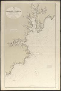
England--south coast, approaches to Falmouth : republished from the British Admiralty chart of 1872
‹ Prev
Next ›
1
2
…
4
5
6
7
8
9
10


![[Plan for proposed Charles River Park]](https://bpldcassets.blob.core.windows.net/derivatives/images/commonwealth:cf95jc91c/image_thumbnail_300.jpg)