Toggle navigation
LMEC Home
Exhibitions
Georeferencing
Tools for Teachers
Collections
My Favorites
Sign Up / Log In
Search
Search the map portal
Map Collection
Map Collection
Map Sets
Search
Search
Search for
Search In
All Fields
Creator
Title
Subject
Place
Search All Digital Collections
Advanced Search
13385 Results
Filter your Search
Place
North and Central America
9,353
United States
7,286
Suffolk (county)
1,664
Boston
1,621
Europe
1,035
Canada
949
Massachusetts
806
New York
534
more
Place
»
Topic
Boston (Mass.)--Maps
741
City planning--Massachusetts--Boston--Maps
418
United States--History--Revolution, 1775-1783--Maps
329
United States--Maps
315
Urban renewal--Massachusetts--Boston--Maps
254
Real property--Massachusetts--Boston--Maps
252
Massachusetts--Maps
219
Insurance surveys
197
more
Topic
»
Date
Date range begin
–
Date range end
Current results range from
1482
to
2023
View distribution
Creator
United States. Hydrographic Office
595
Boston Redevelopment Authority
403
Des Barres, Joseph F. W. (Joseph Frederick Wallet), 1722-1824
247
Royal United Services Institute for Defence and Security Studies
160
Jefferys, Thomas, -1771
154
George, III, King of Great Britain, 1738-1820
152
George, IV, King of Great Britain, 1762-1830
151
O.H. Bailey & Co
148
more
Creator
»
Format
Maps/Atlases
13,205
Manuscripts
985
Prints
102
Books
49
Drawings/Illustrations
44
Photographs
15
Objects/Artifacts
13
Documents
7
more
Format
»
Georeferenced
Yes
979
No
12,406
Collection
Norman B. Leventhal Map Center Collection
8,891
American Revolutionary War-Era Maps
3,305
Boston and New England Maps
2,804
Urban Maps
2,397
Maritime Charts and Atlases
1,150
William L. Clements Library Collection
910
Library of Congress Collection
618
Boston Redevelopment Authority Collection
475
more
Collection
»
Available to use
No known restrictions
9,952
Creative Commons license
1,677
Search Constraints
Sort by date (desc)
relevance
title
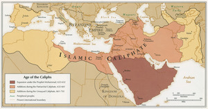
date (asc)
date (desc)
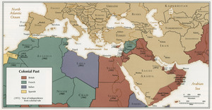
Number of results to display per page
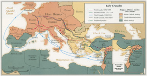
20 per page
10
per page
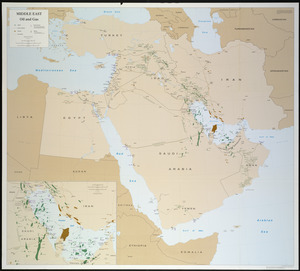
20
per page
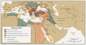
50
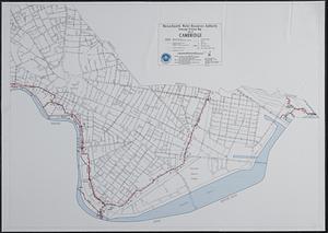
per page
100
per page
View results as:
grid view
map view
Search Results
141.
[Character conversion print errors on] Draft working map Neponset River estuary
142.
General and zoning map for town of Wakefield Mass.
143.
Haiti
144.
Major thoroughfare system, city of Boston, July, 1994
145.
Neponset River estuary master plan area
146.
North Atlantic Ocean, southeast coast of North America, including the Bahamas and Greater Antilles
147.
Protected and recreational open space mapping project : Bedford
148.
Town of Sherborn protected open space and land use
149.
Age of the Caliphs
150.
Asia, South China Sea, Mui Da Nang to Shenquan Gang including Hainan Dao and Parcel Islands
151.
Colonial Past
152.
Early Crusades
153.
East Asia
154.
Massachusetts areas of critical environmental concern
155.
Middle East, oil and gas : Middle East
156.
North Atlantic Ocean, West Indies
157.
Ottoman Empire
158.
Sewerage division map city of Cambridge
159.
Circulation plan of parking lot at the corner of VFW Parkway and Spring Street, West Roxbury
160.
Asia
‹ Prev
Next ›
1
2
…
4
5
6
7
8
9
10
11
12
…
669
670
![[Character conversion print errors on] Draft working map Neponset River estuary](https://bpldcassets.blob.core.windows.net/derivatives/images/commonwealth:mc87v2589/image_thumbnail_300.jpg)