Toggle navigation
LMEC Home
Exhibitions
Georeferencing
Tools for Teachers
Collections
My Favorites
Sign Up / Log In
Search
Search the map portal
Map Collection
Map Collection
Map Sets
Search
Search
Search for
Search In
All Fields
Creator
Title
Subject
Place
Search All Digital Collections
Advanced Search
14164 Results
Filter your Search
Place
North and Central America
10,811
United States
8,818
Massachusetts
2,820
Suffolk (county)
1,688
Boston
1,644
Europe
1,428
Canada
1,010
New York
683
more
Place
»
Topic
Boston (Mass.)--Maps
753
City planning--Massachusetts--Boston--Maps
419
United States--History--Revolution, 1775-1783--Maps
331
United States--Maps
331
Real property--Massachusetts--Boston--Maps
254
Urban renewal--Massachusetts--Boston--Maps
254
North America--Maps--Early works to 1800
241
Massachusetts--Maps
236
more
Topic
»
Date
Date range begin
–
Date range end
Current results range from
1482
to
2023
View distribution
Creator
United States. Hydrographic Office
597
Boston Redevelopment Authority
404
Des Barres, Joseph F. W. (Joseph Frederick Wallet), 1722-1824
247
Jefferys, Thomas, -1771
172
United States. National Ocean Service
170
Royal United Services Institute for Defence and Security Studies
160
George, III, King of Great Britain, 1738-1820
152
George, IV, King of Great Britain, 1762-1830
151
more
Creator
»
Format
Maps/Atlases
13,978
Manuscripts
985
Prints
102
Books
53
Drawings/Illustrations
44
Photographs
15
Objects/Artifacts
13
Documents
7
more
Format
»
Georeferenced
Yes
979
No
13,185
Collection
Norman B. Leventhal Map & Education Center Collection
9,162
American Revolutionary War-Era Maps
3,629
Boston and New England Maps
2,936
Urban Maps
2,511
Maritime Charts and Atlases
1,169
William L. Clements Library Collection
910
Library of Congress Collection
618
Boston Redevelopment Authority Collection
475
more
Collection
»
Available to use
No known restrictions
10,408
Creative Commons license
1,678
Search Constraints
Sort by relevance
relevance
title
date (asc)
date (desc)
Number of results to display per page
20 per page
10
per page
20
per page
50
per page
100
per page
View results as:
grid view
map view
Search Results
13301.
Tractus regni Angliae septentrion[alis] in quo ducatus Eboracensis, episcopatus Dunelmensis, comitatus Northumbriae, Cumbriae,...
13302.
Trade wind chart of the Atlantic Ocean
13303.
A trader's map of the Ohio country before 1753
13304.
Traffic circulation plan parcel 7 : Government Center project
13305.
Traffic for Birkenhead
13306.
Traffic map of down-town Boston : parking spaces and one-way streets
13307.
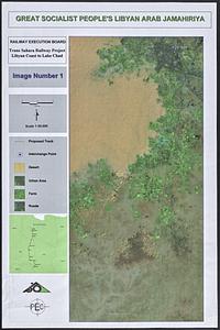
Trans Sahara Railway project
13308.
Trans-continental map : showing the main lines and proposed extensions of the various trans-continental railroad systems of the...
13309.
Transisalania provincia : vulgo Over-Yssel
13310.
Transportation lines between the United States and Mexico, showing differences of elevation
13311.
Transportation map of Manchoukuo
13312.
Transportation map of New York
13313.
Transylvania campaigne Oct. 1916 ; Macedonian campaigne ; Somme Campaigne Oct. 1916
13314.
Travelers' and shippers' railway guide map of Chicago
13315.
Traveler's rail road map of the United States to accompany "Boston to Washington" Riverside Series Centennial Guides
13316.
Traveller's map of the middle, northern, eastern states and Canada showing all the railroad, steamboat, canal, and principal...
13317.
The travellers; or, a tour through Europe
13318.
Travel-map of New England
13319.
Trees in Brookline, Massachusetts
13320.
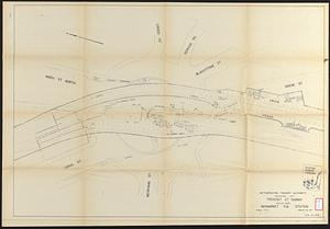
Tremont St. subway Boston, Mass. Haymarket Sq. Station
‹ Prev
Next ›
1
2
…
662
663
664
665
666
667
668
669
670
…
708
709
![Tractus regni Angliae septentrion[alis] in quo ducatus Eboracensis, episcopatus Dunelmensis, comitatus Northumbriae, Cumbriae, Westmoriae et Lancastriae cum Mona insula](https://bpldcassets.blob.core.windows.net/derivatives/images/commonwealth:cj82kr11k/image_thumbnail_300.jpg)