Toggle navigation
LMEC Home
Exhibitions
Georeferencing
Tools for Teachers
Collections
My Favorites
Sign Up / Log In
Search
Search the map portal
Map Collection
Map Collection
Map Sets
Search
Search
Search for
Search In
All Fields
Creator
Title
Subject
Place
Search All Digital Collections
Advanced Search
1484 Results
My Search
Start Over
Subject
"Boston (Mass.)--Maps"
Remove constraint Subject: "Boston (Mass.)--Maps"
Filter your Search
Place
North and Central America
1,483
United States
1,481
Suffolk (county)
1,399
Boston
1,395
Massachusetts
1,099
Boston Harbor
126
Roxbury
91
Charlestown
71
more
Place
»
Topic
Boston (Mass.)--Maps
747
City planning--Massachusetts--Boston--Maps
407
Real property--Massachusetts--Boston--Maps
245
Urban renewal--Massachusetts--Boston--Maps
245
Landowners--Massachusetts--Boston--Maps
161
Buildings--Massachusetts--Boston--Maps
123
Land use--Massachusetts--Boston--Maps
99
Roxbury (Boston, Mass.)--Maps
90
more
Topic
»
Date
Date range begin
–
Date range end
Current results range from
1689
to
2023
View distribution
Creator
Boston Redevelopment Authority
387
Bromley, George Washington
69
Bromley, Walter Scott
68
G.W. Bromley & Co.
46
Geo. H. Walker & Co
28
Boston (Mass.). Engineering Dept
21
Boynton, George W., d. 1884
21
Sampson, Davenport & Co
21
more
Creator
»
Format
Maps/Atlases
1,481
Manuscripts
50
Drawings/Illustrations
5
Posters
1
Prints
1
Georeferenced
Yes
140
No
1,344
Collection
Boston and New England Maps
1,209
Urban Maps
1,015
Norman B. Leventhal Map & Education Center Collection
1,003
Boston Redevelopment Authority Collection
449
American Revolutionary War-Era Maps
129
Mapping Boston Collection
52
Massachusetts Real Estate Atlases
38
Maritime Charts and Atlases
28
more
Collection
»
Available to use
No known restrictions
1,301
Creative Commons license
116
Search Constraints
Sort by relevance
relevance
title
date (asc)
date (desc)
Number of results to display per page
20 per page
10
per page
20
per page
50
per page
100
per page
View results as:
grid view
map view
Search Results
1181.
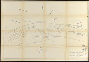
Tremont St. subway Boston, Mass. Haymarket Sq. Station
1182.
Trustees' sale : beautiful building lots on Walnut St. and Walnut Avenue, in West Roxbury, containing about 3,126,519 square feet
1183.
Union Park landscape improvements
1184.
Utility map, Washington Park project r-24
1185.
View of the South End
1186.
Wakefield, Massachusetts : diagram showing the first ten miles of the Boston & Maine Railroad
1187.
Washington Park urban renewal area : existing land use
1188.
Washington Park urban renewal area r-24 : proposed treatment section boundaries
1189.
Washington Park urban renewal area r-24 : property map
1190.
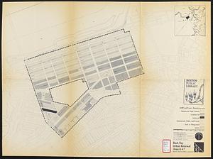
Back Bay urban renewal area r-47 : existing land use
1191.
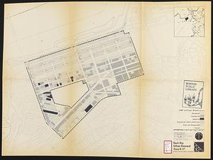
Back Bay urban renewal area r-47 : existing land use
1192.
Back Bay urban renewal area r-47 : land use plan
1193.
Back Bay urban renewal area r-47 : proposed land use
1194.
Back Bay urban renewal area r-47 : existing land use
1195.
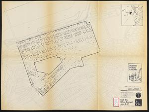
Back Bay urban renewal area r-47 : existing population density
1196.
Boston water works : map showing the several sources of supply already constructed, also the drainage areas of Lake Cochituate...
1197.
East Boston urban renewal area r-44 : proposed land use
1198.
East Boston urban renewal area r-44 : existing land use
1199.
East Boston urban renewal area r-44 : existing population density
1200.
Fenway urban renewal area Massachusetts : disposition parcels
‹ Prev
Next ›
1
2
…
56
57
58
59
60
61
62
63
64
…
74
75