Toggle navigation
LMEC Home
Exhibitions
Georeferencing
Tools for Teachers
Collections
My Favorites
Sign Up / Log In
Search
Search the map portal
Map Collection
Map Collection
Map Sets
Search
Search
Search for
Search In
All Fields
Creator
Title
Subject
Place
Search All Digital Collections
Advanced Search
187 Results
My Search
Start Over
1884
Remove constraint 1884
Filter your Search
Place
North and Central America
159
United States
143
Massachusetts
57
Suffolk (county)
35
Boston
34
Canada
13
Europe
11
New Hampshire
11
more
Place
»
Topic
Boston (Mass.)--Maps
26
Fortification--Massachusetts--Boston--Maps
14
Landowners--Massachusetts--Boston--Maps
5
Real property--Massachusetts--Boston--Maps
5
Roxbury (Boston, Mass.)--Maps
5
Massachusetts--Maps
4
United States--Maps
4
Cambridge (Mass.)--Maps
3
more
Topic
»
Date
Date range begin
–
Date range end
Current results range from
1694
to
1932
View distribution
Creator
Boynton, George W., d. 1884
24
United States. Hydrographic Office
15
O.H. Bailey & Co
14
Geo. H. Walker & Co.
10
Boynton, George W., -1884
9
Johnson, A. J. (Alvin Jewett), 1827-1884
9
Campbell-Copeland, T. (Thomas)
7
Harper & Brothers
7
more
Creator
»
Format
Maps/Atlases
186
Books
3
Manuscripts
2
Prints
1
Georeferenced
Yes
21
No
166
Collection
Norman B. Leventhal Map & Education Center Collection
175
Urban Maps
93
Boston and New England Maps
75
Maritime Charts and Atlases
20
Massachusetts Real Estate Atlases
6
Robert E. Diefenbach Map Collection at Phillips Academy
4
Mapping Boston Collection
1
Ralph Finos Map Collection at Phillips Academy
1
more
Collection
»
Available to use
No known restrictions
179
Creative Commons license
1
Search Constraints
Sort by relevance
relevance
title
date (asc)
date (desc)
Number of results to display per page
20 per page
10
per page
20
per page
50
per page
100
per page
View results as:
grid view
map view
Search Results
101.
Southern British Columbia : map showing disposition of lands
102.
Transportation lines between the United States and Mexico, showing differences of elevation
103.
Topographic map of Massachusetts and Rhode Island
104.
Preliminary study of a plan for a Pleasure Bay between Dorchester Point and Castle Island
105.
Apolima, Samoan Group ; Harbour of Oafonu, Isld. of Tutuila, north side ; Harbour of Aur, Isld. of Tutuila, north side ;...
106.
Apolima, Samoan Group ; Harbour of Oafonu, Isld. of Tutuila, north side ; Hübner Bay, Island of Tutuila ; Harbour of Aur,...
107.
Harbours of Papieti, Toanoa, Papaoa and Matavai Bay, with the ship channel through reef, island of Tahiti
108.
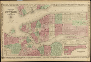
Johnson's map of New York and the adjacent cities
109.
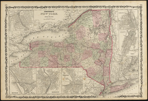
Johnson's new illustrated family atlas of the world, with physical geography, and with descriptions geographical, statistical,...
110.
Johnson's New York
111.
The graphic map of European possessions in Africa
112.
Boston
113.
The Wonderground map of London town
114.
Manchester Ship Canal : general map of the district showing canals, rivers, railways, and roads
115.
Cape Verde Islands, Porto Grande in the island of St. Vincent
116.
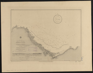
South America, north-west coast of Peru, harbor of Payta
117.
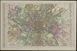
Plan of Leeds : divided into 1/4 mile squares & circles
118.
Plan of Brighton : reduced from the Ordnance Survey
119.
Kootenai National Forest, Montana
120.
Colton's map of the New York Wilderness and the Adirondacks
‹ Prev
Next ›
1
2
3
4
5
6
7
8
9
10


![Johnson's new illustrated family atlas of the world, with physical geography, and with descriptions geographical, statistical, and historical, including the latest federal census, and the existing religious denominations in the world [frontispiece]](https://bpldcassets.blob.core.windows.net/derivatives/images/commonwealth:0r96fp61c/image_thumbnail_300.jpg)