Toggle navigation
LMEC Home
Exhibitions
Georeferencing
Tools for Teachers
Collections
My Favorites
Sign Up / Log In
Search
Search the map portal
Map Collection
Map Collection
Map Sets
Search
Search
Search for
Search In
All Fields
Creator
Title
Subject
Place
Search All Digital Collections
Advanced Search
237 Results
My Search
Start Over
1870
Remove constraint 1870
Filter your Search
Place
North and Central America
132
United States
114
Europe
85
Massachusetts
59
Boston
39
Germany
39
Suffolk (county)
39
France
34
more
Place
»
Topic
Franco-Prussian War, 1870-1871--Maps
33
Germany--Maps
25
Boston (Mass.)--Maps
21
Europe--Maps
17
France--Maps
17
Real property--Massachusetts--Boston--Maps
11
Land tenure--Massachusetts--Boston--Maps
8
Franco-Prussian War, 1870-1871--Aerial views
7
more
Topic
»
Date
Date range begin
–
Date range end
Current results range from
1783
to
1952
View distribution
Creator
United States. Hydrographic Office
13
Beers, F. W. (Frederick W.)
12
Hellfarth, C.
9
Justus Perthes (Firm : Gotha, Germany)
9
Petermann, A. (August), 1822-1878
8
Shurcliff, Arthur A. (Arthur Asahel), 1870-1957
8
G.W. Bacon & Co.
7
Anderson, Alexander, 1775-1870
6
more
Creator
»
Format
Maps/Atlases
233
Books
3
Manuscripts
3
Prints
2
Documents
1
Objects/Artifacts
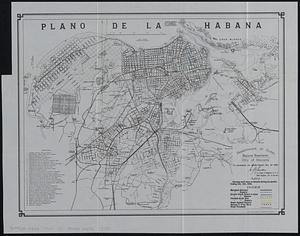
1
Georeferenced
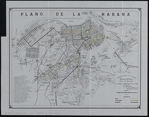
Yes
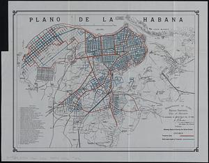
19
No
218
Collection
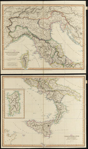
Norman B. Leventhal Map & Education Center Collection
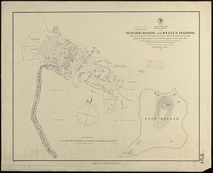
222
Urban Maps
66
Boston and New England Maps
58
Maritime Charts and Atlases
21
American Revolutionary War-Era Maps
8
American Antiquarian Society Collection
5
Mapping Boston Collection
4
Massachusetts Real Estate Atlases
3
more
Collection
»
Available to use
No known restrictions
219
Creative Commons license
5
Search Constraints
Sort by relevance
relevance
title
date (asc)
date (desc)
Number of results to display per page
20 per page
10
per page
20
per page
50
per page
100
per page
View results as:
grid view
map view
Search Results
101.
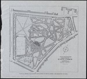
General plan for Boston Common
102.
General plan for Columbus Park, Strandway, South Boston
103.
Location of public open spaces
104.
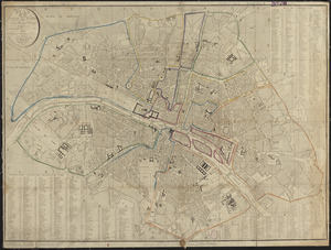
Plan de la ville de Paris nouvellement dressé : comprenant les rues nouvelles et tous les edifices publies
105.
The State of New Hampshire
106.
The states of Maryland and Delaware from the latest surveys, 1799
107.
Plan of the Hutchinson Estate on the corner of Hanover & Clark Streets : to be sold by public auction on Monday Feby. 20th 1871...
108.
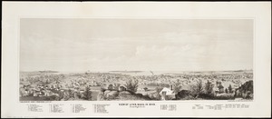
View of Lynn, Mass. in 1849 : from High Rock
109.
Map of the Boston Metropolitan District showing park reservations and holdings of the Metropolitan District Commission and...
110.
Winchendon
111.
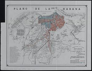
Plano de la Habana : showing proposed paving for the city of Havana as encluded in specifications recently drawn up
112.
Plano de la Habana : showing work done on streets during six months ending Dec. 31st, 1900
113.
Plano de la Habana : showing track laying completed and paved
114.
Plano de la Habana : showing status of survey for street grades
115.
Map of Massachusetts : to accompany the Massachusetts register & business directory
116.
Atlas of Abington and Rockland, Massachusetts : from recent and actual surveys & records
117.
County atlas of Hampshire, Massachusetts
118.
Italiæ antiquæ et novæ
119.
North Pacific Ocean, Midway Islands, Seward Roads and Welles Harbor
120.
Deutschland in seiner neugestaltung
‹ Prev
Next ›
1
2
3
4
5
6
7
8
9
10
11
12