Toggle navigation
LMEC Home
Exhibitions
Georeferencing
Tools for Teachers
Collections
My Favorites
Sign Up / Log In
Search
Search the map portal
Map Collection
Map Collection
Map Sets
Search
Search
Search for
Search In
All Fields
Creator
Title
Subject
Place
Search All Digital Collections
Advanced Search
13385 Results
Filter your Search
Place
North and Central America
10,111
United States
8,249
Massachusetts
2,691
Suffolk (county)
1,664
Boston
1,621
Europe
1,386
Canada
949
New York
640
more
Place
»
Topic
Boston (Mass.)--Maps
741
City planning--Massachusetts--Boston--Maps
418
United States--History--Revolution, 1775-1783--Maps
329
United States--Maps
315
Urban renewal--Massachusetts--Boston--Maps
254
Real property--Massachusetts--Boston--Maps
252
Massachusetts--Maps
219
Insurance surveys
197
more
Topic
»
Date
Date range begin
–
Date range end
Current results range from
1482
to
2023
View distribution
Creator
United States. Hydrographic Office
595
Boston Redevelopment Authority
403
Des Barres, Joseph F. W. (Joseph Frederick Wallet), 1722-1824
247
Royal United Services Institute for Defence and Security Studies
160
Jefferys, Thomas, -1771
154
George, III, King of Great Britain, 1738-1820
152
George, IV, King of Great Britain, 1762-1830
151
O.H. Bailey & Co
148
more
Creator
»
Format
Maps/Atlases
13,205
Manuscripts
985
Prints
102
Books
49
Drawings/Illustrations
44
Photographs
15
Objects/Artifacts
13
Documents
7
more
Format
»
Georeferenced
Yes
979
No
12,406
Collection
Norman B. Leventhal Map & Education Center Collection
8,891
American Revolutionary War-Era Maps
3,305
Boston and New England Maps
2,804
Urban Maps
2,397
Maritime Charts and Atlases
1,150
William L. Clements Library Collection
910
Library of Congress Collection
618
Boston Redevelopment Authority Collection
475
more
Collection
»
Available to use
No known restrictions
9,952
Creative Commons license
1,677
Search Constraints
Sort by date (asc)
relevance
title
date (asc)
date (desc)
Number of results to display per page
20 per page
10
per page
20
per page
50
per page
100
per page
View results as:
grid view
map view
Search Results
11901.
Franklin Park general plan for zoological garden
11902.
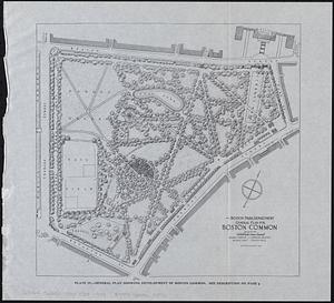
General plan for Boston Common
11903.
General plan for Columbus Park, Strandway, South Boston
11904.
General plan of Mt. Hope cemetery showing surrounding streets and the general scheme of interior roads, paths, and arrangement...
11905.
The Gilt Edge Silk Mills, New Bedford, Mass. [insurance map]
11906.
Gonic Manufacturing Co., Rochester, Gonic, N.H., Tenements. [insurance map]
11907.
The Gulf Coast
11908.
Lake Winnipesaukee, New Hampshire
11909.
The League of Nations, 1925
11910.
Location of public open spaces
11911.
Map of Alaska
11912.
Map of Cambridge roads, about 1807
11913.
A map of New York which is published by the Washington Square Bookshop
11914.
Map of Pittsburgh and environs : from official records, original plats, and actual surveys
11915.
Map of the city of Lawrence and vicinity
11916.
Map of the Metropolitan District of Boston showing local public reservations and holdings of the Metropolitan District...
11917.
Pittsburgh district
11918.
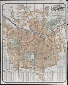
Plano jeneral de la ciudad de Santiago e inmediaciones : con el nuevo límite urbano de la ciudad, creacion de nuevas comunas,...
11919.
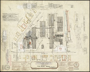
Pleasant Street Realty Co. "Durfee Mills" (Cotton Mill), Fall River, Mass.
11920.
The Price & Lee Co's map of the city of Springfield Mass.
‹ Prev
Next ›
1
2
…
592
593
594
595
596
597
598
599
600
…
669
670


![The Gilt Edge Silk Mills, New Bedford, Mass. [insurance map]](https://bpldcassets.blob.core.windows.net/derivatives/images/commonwealth:ww72bz92x/image_thumbnail_300.jpg)
![Gonic Manufacturing Co., Rochester, Gonic, N.H., Tenements. [insurance map]](https://bpldcassets.blob.core.windows.net/derivatives/images/commonwealth:ww72c032v/image_thumbnail_300.jpg)