Toggle navigation
LMEC Home
Exhibitions
Georeferencing
Tools for Teachers
Collections
My Favorites
Sign Up / Log In
Search
Search the map portal
Map Collection
Map Collection
Map Sets
Search
Search
Search for
Search In
All Fields
Creator
Title
Subject
Place
Search All Digital Collections
Advanced Search
14164 Results
My Search
Start Over
Filter your Search
Place
North and Central America
10,811
United States
8,818
Massachusetts
2,820
Suffolk (county)
1,688
Boston
1,644
Europe
1,428
Canada
1,010
New York
683
more
Place
»
Topic
Boston (Mass.)--Maps
753
City planning--Massachusetts--Boston--Maps
419
United States--History--Revolution, 1775-1783--Maps
331
United States--Maps
331
Real property--Massachusetts--Boston--Maps
254
Urban renewal--Massachusetts--Boston--Maps
254
North America--Maps--Early works to 1800
241
Massachusetts--Maps
236
more
Topic
»
Date
Date range begin
–
Date range end
Current results range from
1482
to
2023
View distribution
Creator
United States. Hydrographic Office
597
Boston Redevelopment Authority
404
Des Barres, Joseph F. W. (Joseph Frederick Wallet), 1722-1824
247
Jefferys, Thomas, -1771
172
United States. National Ocean Service
170
Royal United Services Institute for Defence and Security Studies
160
George, III, King of Great Britain, 1738-1820
152
George, IV, King of Great Britain, 1762-1830
151
more
Creator
»
Format
Maps/Atlases
13,978
Manuscripts
985
Prints
102
Books
53
Drawings/Illustrations
44
Photographs
15
Objects/Artifacts
13
Documents
7
more
Format
»
Georeferenced
Yes
979
No
13,185
Collection
Norman B. Leventhal Map & Education Center Collection
9,162
American Revolutionary War-Era Maps
3,629
Boston and New England Maps
2,936
Urban Maps
2,511
Maritime Charts and Atlases
1,169
William L. Clements Library Collection
910
Library of Congress Collection
618
Boston Redevelopment Authority Collection
475
more
Collection
»
Available to use
No known restrictions
10,408
Creative Commons license
1,678
Search Constraints
Sort by relevance
relevance
title
date (asc)
date (desc)
Number of results to display per page
20 per page
10
per page
20
per page
50
per page
100
per page
View results as:
grid view
map view
Search Results
11681.
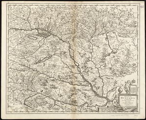
Regnum Hungaria in omnes suos comitatus accurate divisum et editum
11682.
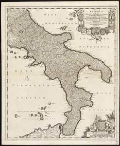
Regnum Neapolis : in quo sunt Aprutium ulterius et citerius, Comitatus Molisius, Terra Laboris, Capitaniata Principatus...
11683.
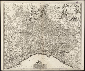
Reipublicae Genuensis et Ducatus Mediolanensis Parmensis et Montisferrati novissima descriptio
11684.
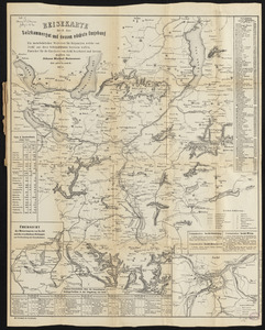
Reisekarte durch das Salzkammergut und dessen nächste umgebung : ein unentbehrlicher wegweiser für diejenigen, welche von...
11685.
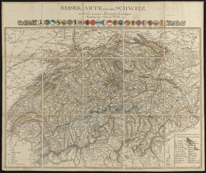
Reisekarte von der Schweiz nach den neuesten materialien berichtiget
11686.
Relation von der vergeblichen belagrung der haupt vestung Gibraltar : anno 1782 von 13 bis 17 sbre
11687.
Relationship between selected recreation sites and public transportation facilities Boston metropolitan area 1971
11688.
Relationship of TNEMC development plan area to New York streets land assembly and redevelopment project
11689.
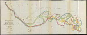
Relative positions of Rio Grande near El Paso between 1852 and 1907
11690.
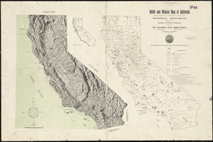
Relief and mineral map of California showing the topography and the approximate locations of all the principal mineral deposits...
11691.
Relief map of Canada and the United States
11692.
Relief map of New Hampshire
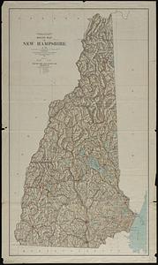
11693.
Relief map of New Jersey
11694.
Relief map of the Dominion of Canada
11695.
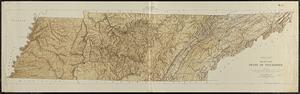
Relief map, state of Tennessee
11696.
Relief practice map
11697.
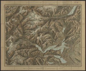
Reliefkarte der Centralschweiz
11698.
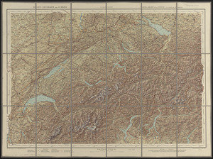
Relief-reisekarte der Schweiz = Carte-relief de la Suisse à l'usage des touristes
11699.
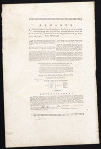
Remarks
11700.
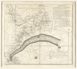
Remarques sur la navigation de terre-neuve à New-York afin d'eviter les courrants et les bas-fonds au sud de Nantuckett et du...
‹ Prev
Next ›
1
2
…
581
582
583
584
585
586
587
588
589
…
708
709