Toggle navigation
LMEC Home
Exhibitions
Georeferencing
Tools for Teachers
Collections
My Favorites
Sign Up / Log In
Search
Search the map portal
Map Collection
Map Collection
Map Sets
Search
Search
Search for
Search In
All Fields
Creator
Title
Subject
Place
Search All Digital Collections
Advanced Search
13385 Results
Filter your Search
Place
North and Central America
9,353
United States
7,078
Suffolk (county)
1,664
Boston
1,621
Europe
1,035
Canada
949
Massachusetts
794
New York
532
more
Place
»
Topic
Boston (Mass.)--Maps
741
City planning--Massachusetts--Boston--Maps
418
United States--History--Revolution, 1775-1783--Maps
329
United States--Maps
315
Urban renewal--Massachusetts--Boston--Maps
254
Real property--Massachusetts--Boston--Maps
252
Massachusetts--Maps
219
Insurance surveys
197
more
Topic
»
Date
Date range begin
–
Date range end
Current results range from
1482
to
2023
View distribution
Creator
United States. Hydrographic Office
595
Boston Redevelopment Authority
403
Des Barres, Joseph F. W. (Joseph Frederick Wallet), 1722-1824
247
Royal United Services Institute for Defence and Security Studies
160
Jefferys, Thomas, -1771
154
George, III, King of Great Britain, 1738-1820
152
George, IV, King of Great Britain, 1762-1830
151
O.H. Bailey & Co
148
more
Creator
»
Format
Maps/Atlases
13,205
Manuscripts
985
Prints
102
Books
49
Drawings/Illustrations
44
Photographs
15
Objects/Artifacts
13
Documents
7
more
Format
»
Georeferenced
Yes
979
No
12,406
Collection
Norman B. Leventhal Map Center Collection
8,891
American Revolutionary War-Era Maps
3,305
Boston and New England Maps
2,804
Urban Maps
2,397
Maritime Charts and Atlases
1,150
William L. Clements Library Collection
910
Library of Congress Collection
618
Boston Redevelopment Authority Collection
475
more
Collection
»
Available to use
No known restrictions
9,952
Creative Commons license
1,677
Search Constraints
Sort by relevance
relevance
title
date (asc)
date (desc)
Number of results to display per page
20 per page
10
per page
20
per page
50
per page
100
per page
View results as:
grid view
map view
Search Results
11341.
Secunda Asie tabula continet Sarmatia ipsius
11342.
Secunda etas mundi = Secunda etas mũdi
11343.
Secunda etas mundi = Secunda etas mũdi
11344.
Secunda Europae tabula
11345.
Secunda Europe tabula
11346.
Segusiani : partie du dioecese et archevesche de Lyon : Le Bas Forez et Beaujolois : eslectons de Roanne et de Villefranche
11347.
Segusiani : partie du dioese et archevche de Lyon : le Lyonnois et le haut forez : eslections de Lyon, de St. Chamont, et de...
11348.
Selected hurricanes affecting the southern United States 1954-1977
11349.
Senones : Evesché d'Auxerre : Comté et Ballge d'Auxerre : Eslectons. de Clamecy, de Gien, de la Charité, et de Vezelay
11350.
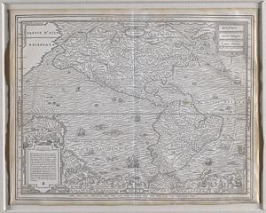
Septentrion, quarte partie du monde
11351.
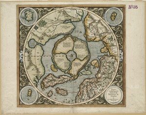
Septentrionalium terrarum descriptio
11352.
Septentrionalium terrarum descriptio
11353.
Septima Asia tabula continet Margianam, Bactrianam, Sogdianos, Sacas & Scythiam intra Imaū mōtē
11354.
Septima Asiae tabula
11355.
Septima Europa tabula continet Sardininiam & Sicilia insulas
11356.
Septima Europae tabula
11357.
Ser. Reg. Caroli Gustavi victoriolus e Sialandia disccssus facta pace Rothschildenli d. 5 Martij 1658 ; Ser. Reg. Sueciæ...
11358.
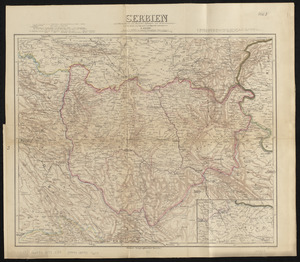
Serbien : nach Österreichischen und Russischen aufnahmen und ortsbestimmungen, und den karten von Viquesnel und Bugarski
11359.
Serio-comic war map for the year 1877
11360.
Al sermo. Ferdinando. II. Grandvca di Toscana svo signore Don Roberto Dudleo, Duca di Northumbria
‹ Prev
Next ›
1
2
…
564
565
566
567
568
569
570
571
572
…
669
670