Toggle navigation
LMEC Home
Exhibitions
Georeferencing
Tools for Teachers
Collections
My Favorites
Sign Up / Log In
Search
Search the map portal
Map Collection
Map Collection
Map Sets
Search
Search
Search for
Search In
All Fields
Creator
Title
Subject
Place
Search All Digital Collections
Advanced Search
13385 Results
Filter your Search
Place
North and Central America
9,353
United States
7,286
Suffolk (county)
1,664
Boston
1,621
Europe
1,035
Canada
949
Massachusetts
806
New York
534
more
Place
»
Topic
Boston (Mass.)--Maps
741
City planning--Massachusetts--Boston--Maps
418
United States--History--Revolution, 1775-1783--Maps
329
United States--Maps
315
Urban renewal--Massachusetts--Boston--Maps
254
Real property--Massachusetts--Boston--Maps
252
Massachusetts--Maps
219
Insurance surveys
197
more
Topic
»
Date
Date range begin
–
Date range end
Current results range from
1482
to
2023
View distribution
Creator
United States. Hydrographic Office
595
Boston Redevelopment Authority
403
Des Barres, Joseph F. W. (Joseph Frederick Wallet), 1722-1824
247
Royal United Services Institute for Defence and Security Studies
160
Jefferys, Thomas, -1771
154
George, III, King of Great Britain, 1738-1820
152
George, IV, King of Great Britain, 1762-1830
151
O.H. Bailey & Co
148
more
Creator
»
Format
Maps/Atlases
13,205
Manuscripts
985
Prints
102
Books
49
Drawings/Illustrations
44
Photographs
15
Objects/Artifacts
13
Documents
7
more
Format
»
Georeferenced
Yes
979
No
12,406
Collection
Norman B. Leventhal Map Center Collection
8,891
American Revolutionary War-Era Maps
3,305
Boston and New England Maps
2,804
Urban Maps
2,397
Maritime Charts and Atlases
1,150
William L. Clements Library Collection
910
Library of Congress Collection
618
Boston Redevelopment Authority Collection
475
more
Collection
»
Available to use
No known restrictions
9,952
Creative Commons license
1,677
Search Constraints
Sort by date (asc)
relevance
title
date (asc)
date (desc)
Number of results to display per page
20 per page
10
per page
20
per page
50
per page
100
per page
View results as:
grid view
map view
Search Results
10921.
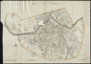
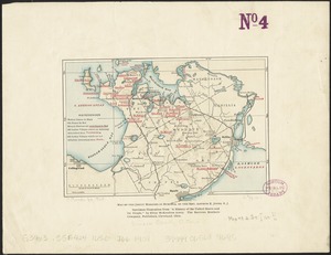
City of Lowell
10922.
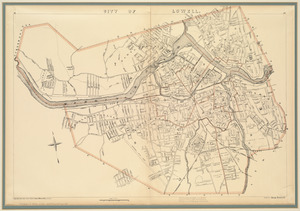
City of Lowell
10923.
Cobb's latest map of the Rosebud Reservation, South Dakota, to be opened for settlement Aug. 8, 1904
10924.
A description of the towne of Mannados or New Amsterdam : as it was in September, 1661, lying in lattitude 40 de. and 40 m.,...
10925.
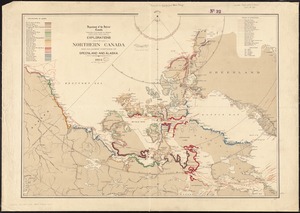
Explorations in northern Canada and adjacent portions of Greenland and Alaska, 1904
10926.
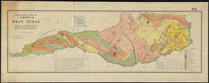
Geological map of a portion of West Texas : showing parts of Brewster, Presidio, Jeff. Davis, and El Paso counties, and south...
10927.
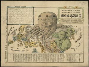
A humorous diplomatic atlas of Europe and Asia
10928.
Index map, city of Manila
10929.
Lemuria at its greatest extent ; Lemuria at a later period
10930.
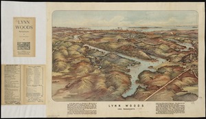
Lynn Woods : Lynn, Massachusetts
10931.
Map of Hyde Park and Milton
10932.
Map of Korea
10933.
Map of Korea and Manchuria
10934.
Map of Manchuria, Corea & Japan
10935.
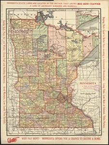
Map of Minnesota : a state of great opportunities
10936.
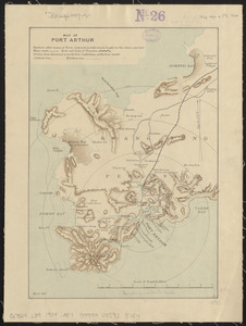
Map of Port Arthur
10937.
Map of Swampscott, Nahant & Saugus
10938.
Map of the Jesuit missions in Huronia
10939.
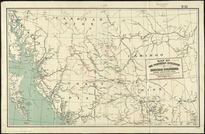
Map of the northern interior of British Columbia shewing undeveloped areas
10940.
Map of the United States showing principal cities, rivers, and mountain ranges
‹ Prev
Next ›
1
2
…
543
544
545
546
547
548
549
550
551
…
669
670