Toggle navigation
LMEC Home
Exhibitions
Georeferencing
Tools for Teachers
Collections
My Favorites
Sign Up / Log In
Search
Search the map portal
Map Collection
Map Collection
Map Sets
Search
Search
Search for
Search In
All Fields
Creator
Title
Subject
Place
Search All Digital Collections
Advanced Search
14164 Results
Filter your Search
Place
North and Central America
10,832
United States
8,868
Massachusetts
2,832
Suffolk (county)
1,688
Boston
1,644
Europe
1,428
Canada
1,010
New York
684
more
Place
»
Topic
Boston (Mass.)--Maps
753
City planning--Massachusetts--Boston--Maps
419
United States--History--Revolution, 1775-1783--Maps
331
United States--Maps
331
Real property--Massachusetts--Boston--Maps
254
Urban renewal--Massachusetts--Boston--Maps
254
North America--Maps--Early works to 1800
241
Massachusetts--Maps
236
more
Topic
»
Date
Date range begin
–
Date range end
Current results range from
1482
to
2023
View distribution
Creator
United States. Hydrographic Office
597
Boston Redevelopment Authority
404
Des Barres, Joseph F. W. (Joseph Frederick Wallet), 1722-1824
247
Jefferys, Thomas, -1771
172
United States. National Ocean Service
170
Royal United Services Institute for Defence and Security Studies
160
George, III, King of Great Britain, 1738-1820
152
George, IV, King of Great Britain, 1762-1830
151
more
Creator
»
Format
Maps/Atlases
13,978
Manuscripts
985
Prints
102
Books
53
Drawings/Illustrations
44
Photographs
15
Objects/Artifacts
13
Documents
7
more
Format
»
Georeferenced
Yes
979
No
13,185
Collection
Norman B. Leventhal Map & Education Center Collection
9,162
American Revolutionary War-Era Maps
3,629
Boston and New England Maps
2,936
Urban Maps
2,511
Maritime Charts and Atlases
1,169
William L. Clements Library Collection
910
Library of Congress Collection
618
Boston Redevelopment Authority Collection
475
more
Collection
»
Available to use
No known restrictions
10,408
Creative Commons license
1,678
Search Constraints
Sort by relevance
relevance
title
date (asc)
date (desc)
Number of results to display per page
20 per page
10
per page
20
per page
50
per page
100
per page
View results as:
grid view
map view
Search Results
10401.
Plan of the encampment and position of the army under His Excelly. Lt. General Burgoyne : at Swords House on Hudson's River on...
10402.
Plan of the encampment and position of the army under His Excelly. Lt. General Burgoyne at Bræmus Heights on Hudson's River...
10403.
Plan of the encampment and position of the army under His Excelly. Lt. General Burgoyne at Swords House on Hudson's River near...
10404.
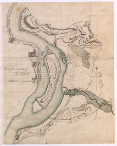
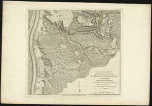
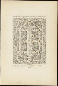
Plan of the encampment, intrenchment with theier [sic] environs at Lake George
10405.
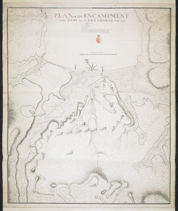
PLAN of the Encampment Intrenchment with thier Environs at LAKE GEORGE
10406.
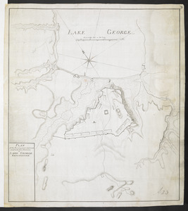
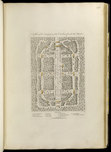
PLAN OF THE ENCAMPMENT OF THE ARMY AT LAKE GEORGE JUNE 1759
10407.
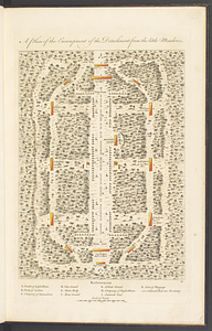
A plan of the encampment of the detachment from the Little Meadows
10408.
A plan of the encampment of the detachment from the little Meadows
10409.
A plan of the encampment of the detachment from the little Meadows
10410.
A plan of the entervale [sic] and hundred acre lotts in the township of Piermont
10411.
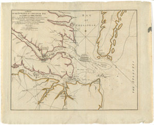
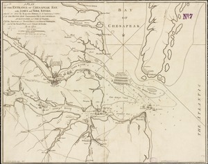
A plan of the entrance of Chesapeak Bay, with James and York Rivers : wherein are shown the respective positions (in the...
10412.
A plan of the entrance of Chesapeak Bay, with James and York rivers : wherein are shewn the respective positions (in the...
10413.
A plan of the entrance of Chesapeak Bay, with James and York rivers : wherein are shewn the respective positions (in the...
10414.
A Plan of the entrance of Chesapeak [sic] Bay, with James and York Rivers : wherein are shewn the respective positions (in the...
10415.
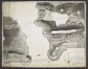
PLAN OF THE ENTRANCE OF ST IOHN'S HARBOUR NEWFOUNDLAND Shewing the additional Work's erecting for its defence
10416.
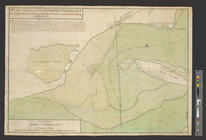
Plan of the entrance of the Harbour of Pensacola shewing the situation of the new battery's laid out and begun building in...
10417.
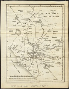
A plan of the environs of ancient Rome
10418.
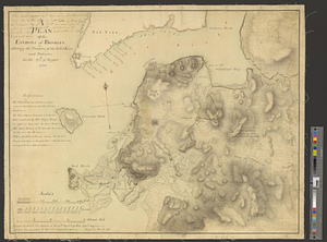
A plan of the environs of Brooklyn showing the position of the rebel lines and defences on the 27th of August 1776
10419.
Plan of the Environs of Fort Edward
10420.
Plan of the environs of Halifax in Nova Scotia with the temporary works constructed for the protection of the town, and His...
‹ Prev
Next ›
1
2
…
517
518
519
520
521
522
523
524
525
…
708
709
![Plan of the encampment, intrenchment with theier [sic] environs at Lake George](https://bpldcassets.blob.core.windows.net/derivatives/metadata/commonwealth-oai:v9800134b/image_thumbnail_300.jpg)
![A plan of the entervale [sic] and hundred acre lotts in the township of Piermont](https://bpldcassets.blob.core.windows.net/derivatives/metadata/commonwealth-oai:02874t092/image_thumbnail_300.jpg)

![A Plan of the entrance of Chesapeak [sic] Bay, with James and York Rivers](https://bpldcassets.blob.core.windows.net/derivatives/images/commonwealth:q524nf233/image_thumbnail_300.jpg)