Toggle navigation
LMEC Home
Exhibitions
Georeferencing
Tools for Teachers
Collections
My Favorites
Sign Up / Log In
Search
Search the map portal
Map Collection
Map Collection
Map Sets
Search
Search
Search for
Search In
All Fields
Creator
Title
Subject
Place
Search All Digital Collections
Advanced Search
114 Results
My Search
Start Over
Date
1847
Remove constraint Date: <span class='single'>1847</span>
Filter your Search
Place
North and Central America
49
United States
35
Oceania
32
Massachusetts
17
Europe
13
French Polynesia
9
Fiji
8
China
7
more
Place
»
Topic
United States Exploring Expedition (1838-1842)
16
Tuamotu Archipelago (French Polynesia)--Maps
6
China--Maps
5
Massachusetts--Maps
5
Boston (Mass.)--Maps
4
Korea--Maps
4
Paris (France)--Maps
4
Mexican War, 1846-1848--Campaigns--Maps
3
more
Topic
»
Date
1847
[remove]
114
Date range begin
–
Date range end
Current results range from
1770
to
1990
1847
to
1847
114
Creator
United States Exploring Expedition (1838-1842)
34
Wilkes, Charles, 1798-1877
31
Sherman & Smith
19
Boynton, George W., -1884
3
Knight, J. (Engraver)
3
Bouvé, Ephraim W., 1817-1897
2
Collinson, Richard, Sir, 1811-1883
2
Copley, Charles
2
more
Creator
»
Format
Maps/Atlases
112
Manuscripts
13
Prints
2
Georeferenced
Yes
13
No
101
Collection
Norman B. Leventhal Map & Education Center Collection
94
Maritime Charts and Atlases
41
Boston and New England Maps
15
Urban Maps
13
American Revolutionary War-Era Maps
12
Library of Congress Collection
5
MacLean Collection Map Library
4
Mapping Boston Collection
3
more
Collection
»
Available to use
No known restrictions
95
Creative Commons license
9
Search Constraints
Sort by relevance
relevance
title
date (asc)
date (desc)
Number of results to display per page
20 per page
10
per page
20
per page
50
per page
100
per page
View results as:
grid view
map view
Search Results
81.
Orange Harbour, Tierra del Fuego
82.
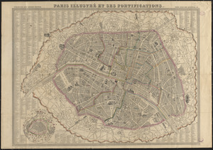
Paris illustré et ses fortifications
83.
Physical map of Germany
84.
Pianta della città di Firenze
85.
[Plan de defense de New-Port] : [dans l'Isle Rhode (Amerique Septentrionalle) par l'escadre du Roy aux ordres de Monsieur le...
86.
Plan of an estate in High St. to be sold at auction Sat. May 1st 1847 at 12 o'clock on the premises by Whitwell, Seaver & Co....
87.
A plan of Boston, from actual survey by Osgood Carleton
88.
Plan of Dean Danl Greens farm in Reading
89.
[Plan of lots in Chinatown, between Broad and Front Streets, and Beach and Orange Streets, Boston]
90.
Plan of lots in North Auburn Dale, Newton, Mass
91.
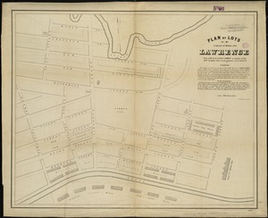
Plan of lots in that part of Methuen called Lawrence : to be sold by the Essex Company at auction on the 28th of April, 1847,...
92.
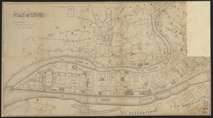
Plan of Lyons
93.
Plan of part of the Sterling Branch R.R. from the plans of the Fitchburg R.R. shewing [sic] the line as chartered and the line...
94.
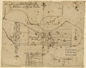
Plan of Portland
95.
Plan of Stephen W. and Francis Jackson's farm in Newton, 6 1/2 miles from Boston
96.
Plan of the Inner Harbor of Boston
97.
[Plan of William Jackson's farm, Newton]
98.
Rhein Panorama von Cöln nach Düsseldorf und Mainz
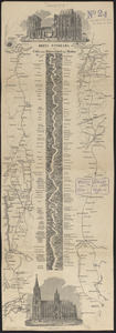
99.
Route of the Providence and Worcester rail road
100.
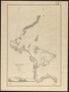
Seagull Harbour, Gretton Bay, Wollaston Island, Tierra del Fuego
‹ Prev
Next ›
1
2
3
4
5
6


![[Plan de defense de New-Port]](https://bpldcassets.blob.core.windows.net/derivatives/images/commonwealth:z603vn044/image_thumbnail_300.jpg)


![[Plan of lots in Chinatown, between Broad and Front Streets, and Beach and Orange Streets, Boston]](https://bpldcassets.blob.core.windows.net/derivatives/images/commonwealth:9s161h46q/image_thumbnail_300.jpg)

![Plan of part of the Sterling Branch R.R. from the plans of the Fitchburg R.R. shewing [sic] the line as chartered and the line as located](https://bpldcassets.blob.core.windows.net/derivatives/images/commonwealth:x059cc86f/image_thumbnail_300.jpg)

![[Plan of William Jackson's farm, Newton]](https://bpldcassets.blob.core.windows.net/derivatives/images/commonwealth:9s161g07t/image_thumbnail_300.jpg)