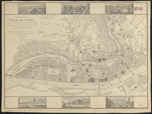
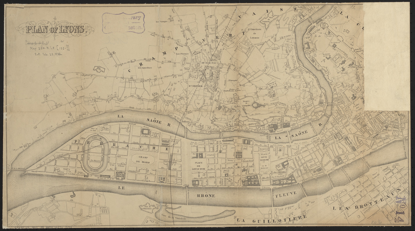
Plan of Lyons
Item Information
- Title:
- Plan of Lyons
- Date:
-
[ca. 1840–1849]
- Format:
-
Maps/Atlases
- Location:
-
Boston Public Library
Norman B. Leventhal Map & Education Center - Collection (local):
-
Norman B. Leventhal Map & Education Center Collection
- Subjects:
-
Lyon (France)--Maps
- Places:
-
FranceAuvergne-Rhône-Alpes (region)Lyons
- Extent:
- 1 map ; 29 x 53 cm
- Terms of Use:
-
No known copyright restrictions.
No known restrictions on use.
- Publisher:
-
[Place of publication not identified] :
[publisher not identified]
- Scale:
-
Scale approximately 1:10,000
- Language:
-
French
- Notes:
-
Oriented with north to the upper right.
Map is in French, with English title.
- Identifier:
-
06_01_014240
- Call #:
-
G5834.L9 1840 .P5
- Barcode:
-
39999065701888