Toggle navigation
LMEC Home
Exhibitions
Georeferencing
Tools for Teachers
Collections
My Favorites
Sign Up / Log In
Search
Search the map portal
Map Collection
Map Collection
Map Sets
Search
Search
Search for
Search In
All Fields
Creator
Title
Subject
Place
Search All Digital Collections
Advanced Search
13680 Results
My Search
Start Over
Date facet yearly ssim
1950
to
1999
Remove constraint Date facet yearly ssim: <span class='from'>1950</span> to <span class='to'>1999</span>
Filter your Search
Place
North and Central America
10,344
United States
8,475
Massachusetts
2,789
Suffolk (county)
1,677
Boston
1,633
Europe
1,415
Canada
950
New York
649
more
Place
»
Topic
Boston (Mass.)--Maps
747
City planning--Massachusetts--Boston--Maps
418
United States--History--Revolution, 1775-1783--Maps
329
United States--Maps
322
Real property--Massachusetts--Boston--Maps
254
Urban renewal--Massachusetts--Boston--Maps
254
Massachusetts--Maps
231
Insurance surveys
197
more
Topic
»
Date
Date range begin
–
Date range end
Current results range from
1482
to
2023
View distribution
Creator
United States. Hydrographic Office
597
Boston Redevelopment Authority
404
Des Barres, Joseph F. W. (Joseph Frederick Wallet), 1722-1824
247
Royal United Services Institute for Defence and Security Studies
160
Jefferys, Thomas, -1771
154
George, III, King of Great Britain, 1738-1820
152
George, IV, King of Great Britain, 1762-1830
151
O.H. Bailey & Co
148
more
Creator
»
Format
Maps/Atlases
13,499
Manuscripts
985
Prints
102
Books
49
Drawings/Illustrations
44
Photographs
15
Objects/Artifacts
13
Documents
7
more
Format
»
Georeferenced
Yes
979
No
12,701
Collection
Norman B. Leventhal Map & Education Center Collection
9,096
American Revolutionary War-Era Maps
3,305
Boston and New England Maps
2,915
Urban Maps
2,471
Maritime Charts and Atlases
1,169
William L. Clements Library Collection
910
Library of Congress Collection
618
Boston Redevelopment Authority Collection
475
more
Collection
»
Available to use
No known restrictions
10,246
Creative Commons license
1,678
Search Constraints
Sort by relevance
relevance
title
date (asc)
date (desc)
Number of results to display per page
20 per page
10
per page
20
per page
50
per page
100
per page
View results as:
grid view
map view
Search Results
8881.
Plan of Brownfield (Prescott's Grant) made by Nathaniel Merrill, dated December 1795.
8882.
Plan of Brunswick, made by Daniel Given, dated May 20, 1795
8883.
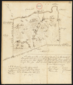
Plan of Buckfield surveyed by Thomas Joselyn, dated by 1794-5.
8884.
Plan of Buckland made by John Tobey, dated December 1830
8885.
Plan of Buckland made by Samuel Taylor dated December, 1794.
8886.
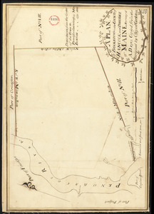
Plan of Bucksport, surveyed by Osgood Carleton, dated 1787.
8887.
Plan of building lots and land in Cambridge & Somerville belonging to Mr. Ozias Morse
8888.
Plan of building lots on Columbus Avenue, and various streets and squares west of said avenue : to be sold by public auction at...
8889.
Plan of building lots on Phillips Place, Tremont & Somerset Streets
8890.
Plan of building lots on Phillips Place, Tremont & Somerset Streets
8891.
Plan of building lots on the "Kimball" Estate Arlington, Mass. ... at 3 o'clock p.m
8892.
Plan of building lots on Washington, Waltham & Parker Streets and Harrison Avenue, belonging to the Boston Lying-In Hospital...
8893.
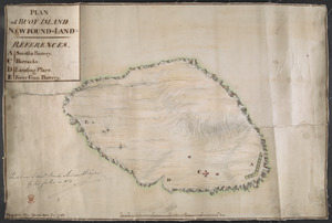
PLAN of BUOY ISLAND NEW FOUND-LAND
8894.
Plan of Burlington made by Bartholomew Richardson, dated October, 1831
8895.
Plan of burnt district by fire of Nov. 9th and 10th, 1872 : showing street improvements as adopted by Board of Street...
8896.
Plan of burnt district, by fire of Nov. 9th and 10th 1872 : showing street improvements as adopted by Board of Street...
8897.
Plan of Buxton, surveyor's name not given, dated June 10, 1795.
8898.
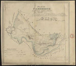
Plan of Cambridge made by John G. Hales, dated June 1830
8899.
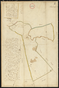
Plan of Cambridge, made by Samuel Thompson, dated April, 1795.
8900.
Plan of Camden, surveyor's name not given, dated May 1795.
‹ Prev
Next ›
1
2
…
441
442
443
444
445
446
447
448
449
…
683
684