Toggle navigation
LMEC Home
Exhibitions
Georeferencing
Tools for Teachers
Collections
My Favorites
Sign Up / Log In
Search
Search the map portal
Map Collection
Map Collection
Map Sets
Search
Search
Search for
Search In
All Fields
Creator
Title
Subject
Place
Search All Digital Collections
Advanced Search
2261 Results
My Search
Start Over
london
Remove constraint london
Filter your Search
Place
North and Central America
1,492
United States
943
Europe
363
Canada
347
North America
194
New York
129
Massachusetts
117
New England
104
more
Place
»
Topic
North America--Maps--Early works to 1800
137
Coasts--Nova Scotia--Maps
64
New England--Maps--Early works to 1800
57
United States--History--French and Indian War, 1754-1763--Maps
57
United States--History--French and Indian War, 1754-1763--Maps, Manuscript--Early works to 1800
56
United States--Maps--Early works to 1800
54
United States--History--Revolution, 1775-1783--Maps
40
Nova Scotia--Maps--Early works to 1800
39
more
Topic
»
Date
Date range begin
–
Date range end
Current results range from
1624
to
1999
View distribution
Creator
Des Barres, Joseph F. W. (Joseph Frederick Wallet), 1722-1824
242
Jefferys, Thomas, -1771
167
George, III, King of Great Britain, 1738-1820
149
George, IV, King of Great Britain, 1762-1830
148
Sayer, Robert, 1725-1794
115
Faden, William, 1749-1836
109
Moll, Herman, d. 1732
72
Robert Sayer and John Bennett (Firm)
57
more
Creator
»
Format
Maps/Atlases
2,219
Manuscripts
161
Prints
23
Drawings/Illustrations
15
Books
4
Objects/Artifacts
1
Georeferenced
Yes
137
No
2,124
Collection
American Revolutionary War-Era Maps
1,355
Norman B. Leventhal Map & Education Center Collection
1,305
Maritime Charts and Atlases
263
British Library Collection
163
William L. Clements Library Collection
160
Boston and New England Maps
152
Richard H. Brown Revolutionary War Map Collection at Mount Vernon
146
MacLean Collection Map Library
140
more
Collection
»
Available to use
No known restrictions
1,271
Creative Commons license
569
Search Constraints
Sort by relevance
relevance
title
date (asc)
date (desc)
Number of results to display per page
20 per page
10
per page
20
per page
50
per page
100
per page
View results as:
grid view
map view
Search Results
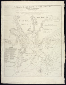
801.
A plan of Port Royal in South Carolina
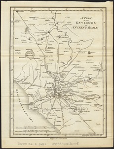
802.
A plan of the environs of ancient Rome
803.
A plan of the line of march of the detachment from the little Meadows
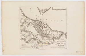
804.
Plan of the siege of York Town in Virginia
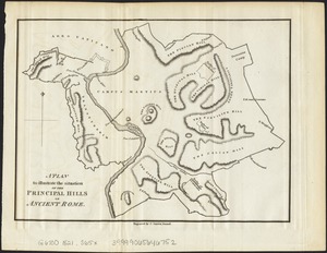
805.
A plan to illustrate the situation of the principal hills of ancient Rome
806.
A map of the United States : compiled chiefly from the state maps, and other authentic information
807.
McMillan's map of New Brunswick, 1867
808.
The State of New Hampshire
809.
Europ, and the cheife cities contayned therin, described; with the habits of most kingdoms now in use
810.
An authentic plan of the town and harbour of Cap-François in the isle of St. Domingo
811.
Denmark
812.
Italy
813.
King's Bay ... : Lunenburg
814.
A map of North America, denoting the boundaries of the yearly meetings of Friends and the locations of the various Indian tribes
815.
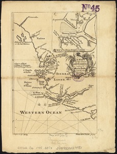
A map of the coast and country about Sierra Lione and Sherbro River
816.
A map of the country between Will's Creek & Monongahela River shewing the rout and encampments of the English army in 1755
817.
A map of the country between Will's Creek & Monongahela River shewing the rout and encampments of the English army in 1755
818.
A map of the most inhabited part of New England : containing the provinces of Massachusets Bay and New Hampshire, with the...
819.
A map of the most inhabited part of New England : containing the provinces of Massachusets Bay and New Hampshire, with the...
820.
A map of the most inhabited part of New England : containing the provinces of Massachusets Bay and New Hampshire, with the...
‹ Prev
Next ›
1
2
…
37
38
39
40
41
42
43
44
45
…
113
114