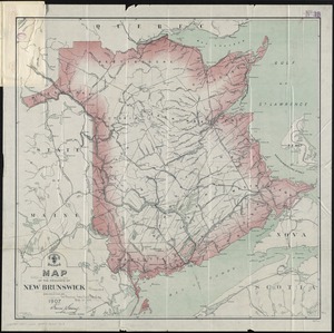
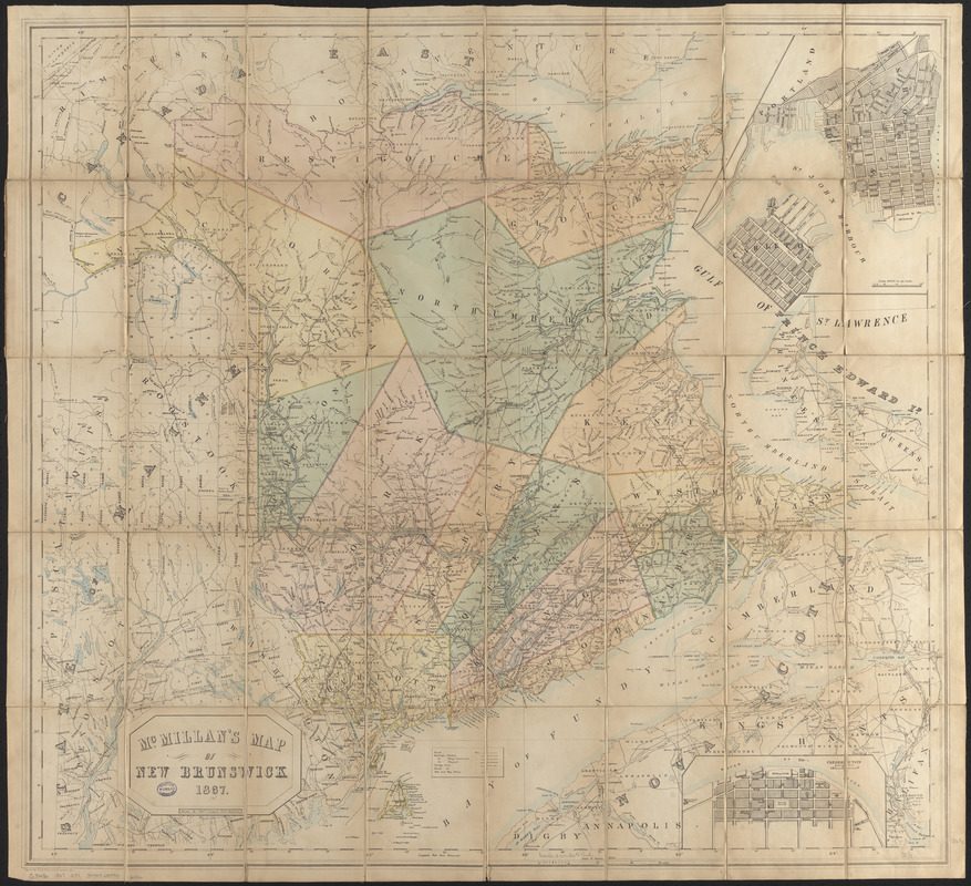
McMillan's map of New Brunswick, 1867
Item Information
- Title:
- McMillan's map of New Brunswick, 1867
- Cartographer:
- Gregory, Charles C.
- Engraver:
- George Philip & Son
- Name on Item:
-
drawn by Charles C. Gregory, civil engineer
- Date:
-
1867
- Format:
-
Maps/Atlases
- Location:
-
Boston Public Library
Norman B. Leventhal Map & Education Center - Collection (local):
-
Norman B. Leventhal Map & Education Center Collection
- Subjects:
-
New Brunswick--Maps
Saint John (N.B.)--Maps
Fredericton (N.B.)--Maps
- Places:
-
CanadaProvince of New Brunswick (province)Fredericton
CanadaProvince of New Brunswick (province)Saint John
- Extent:
- 1 map : color ; 84 x 93 cm, folded in cover 19 x 13 cm
- Terms of Use:
-
No known copyright restrictions.
No known restrictions on use.
- Publisher:
-
[Place of publication not identified] :
[publisher not identified]
- Scale:
-
Scale approximately 1:520,000
- Language:
-
English
- Notes:
-
Relief shown by hachures.
"Engraved by George Philip & Son, Liverpool & London."
Colored map of the province divided into counties.
Sectioned, affixed to linen, and folded into brown publisher's boards stamped: McMillan's map of New Brunswick.
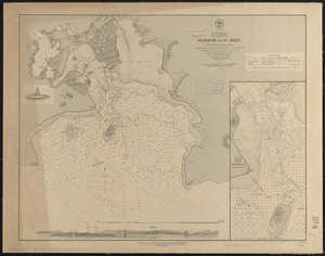
Insets: St. John -- Fredericton.
- Identifier:
-
06_01_016341
- Call #:
-
G3430 1867 .G74
- Barcode:
-
39999085946026