Toggle navigation
LMEC Home
Exhibitions
Georeferencing
Tools for Teachers
Collections
My Favorites
Sign Up / Log In
Search
Search the map portal
Map Collection
Map Collection
Map Sets
Search
Search
Search for
Search In
All Fields
Creator
Title
Subject
Place
Search All Digital Collections
Advanced Search
111 Results
My Search
Start Over
Date
1845
Remove constraint Date: <span class='single'>1845</span>
Filter your Search
Place
North and Central America
46
United States
37
Oceania
32
Europe
15
Massachusetts
13
French Polynesia
9
Fiji
8
Germany
6
more
Place
»
Topic
United States Exploring Expedition (1838-1842)
16
Tuamotu Archipelago (French Polynesia)--Maps
6
China--Maps
5
Boston (Mass.)--Maps
4
Korea--Maps
4
Massachusetts--Maps
4
Europe, Central--Maps
3
Germany--Maps
3
more
Topic
»
Date
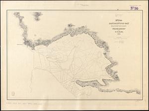
1845
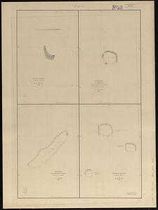
[remove]
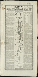
111
Date range begin
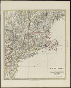
–
Date range end
Current results range from
1770
to
1990
1845
to
1845
111
Creator
United States Exploring Expedition (1838-1842)
34
Wilkes, Charles, 1798-1877
31
Sherman & Smith
19
Boynton, George W., -1884
3
Knight, J. (Engraver)
3
Bache, A. D. (Alexander Dallas), 1806-1867
2
Collinson, Richard, Sir, 1811-1883
2
Hassler, F. R. (Ferdinand Rudolph), 1770-1843
2
more
Creator
»
Format
Maps/Atlases
111
Manuscripts
13
Georeferenced
Yes
11
No
100
Collection
Norman B. Leventhal Map & Education Center Collection
89
Maritime Charts and Atlases
38
American Revolutionary War-Era Maps
13
Urban Maps
12
Boston and New England Maps
10
Library of Congress Collection
5
MacLean Collection Map Library
4
Robert E. Diefenbach Map Collection at Phillips Academy
4
more
Collection
»
Available to use
No known restrictions
94
Creative Commons license
8
Search Constraints
Sort by relevance
relevance
title
date (asc)
date (desc)
Number of results to display per page
20 per page
10
per page
20
per page
50
per page
100
per page
View results as:
grid view
map view
Search Results
61.
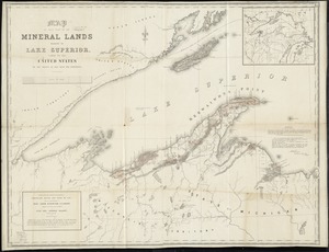
Map of that part of the mineral lands adjacent to Lake Superior, ceded to the United States by the treaty of 1842 with the...
62.
Map of the British and French dominions in North America, drawn by order of the British government in 1755, showing what that...
63.
Map of the country copied from Hale's map of N. E. with railroad route from Boston to Lake Champlain : through Keene, N. H
64.
[Map of the end of Boston Wharf from which restrictions are to be taken off]
65.
[Map of the railroads of Massachusetts running west from Boston]
66.
Map of the Southern provinces of the United States
67.
Map of the states of Ohio, Indiana and Illinois with the settled parts of Michigan & Wisconsin
68.
Map of the United States of America : including Canada and a large portion of Texas showing the base meridian and township...
69.
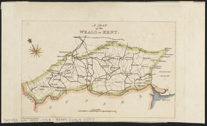
A map of the Weald of Kent
70.
[Map of W. Dall's lots in Athens County, Washington County, and Gallia County, Ohio]
71.
Massachusetts
72.
M'Bua or Sandalwood Bay, island of Vanua Levu, Feejee Group
73.
Metia Island, Paumotu Group ; Taweree or St. Simeon or Resolution Island, Paumotu Group ; Takurea or Wolconsky Island, Paumotu...
74.
A new map of Lake Champlain
75.
North America : British provinces of New Brunswick, Nova Scotia, & part of Canada : compiled from recent surveys and adjusted...
76.
North America, sheet VI, New-York, Vermont, Maine, New-Hampshire, Massachusetts, Connecticut, Rhode-Island, and New-Jersey
77.
The north coast of the Gulf of Mexico, from St. Marks to Galveston
78.
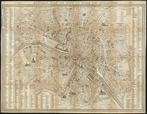
Nouveau plan de Paris ou guide des étrangers
79.
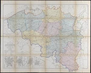
Nouvelle carte générale de la Belgique à l'échelle de 1/200,000
80.
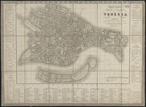
Nuova pianta della cittá e porto franco di Venezia
‹ Prev
Next ›
1
2
3
4
5
6


![[Map of the end of Boston Wharf from which restrictions are to be taken off]](https://bpldcassets.blob.core.windows.net/derivatives/images/commonwealth:9s161d66k/image_thumbnail_300.jpg)
![[Map of the railroads of Massachusetts running west from Boston]](https://bpldcassets.blob.core.windows.net/derivatives/images/commonwealth:x059cc84w/image_thumbnail_300.jpg)


![[Map of W. Dall's lots in Athens County, Washington County, and Gallia County, Ohio]](https://bpldcassets.blob.core.windows.net/derivatives/images/commonwealth:w9505s00n/image_thumbnail_300.jpg)