Toggle navigation
LMEC Home
Exhibitions
Georeferencing
Tools for Teachers
Collections
My Favorites
Sign Up / Log In
Search
Search the map portal
Map Collection
Map Collection
Map Sets
Search
Search
Search for
Search In
All Fields
Creator
Title
Subject
Place
Search All Digital Collections
Advanced Search
14164 Results
Filter your Search
Place
North and Central America
10,832
United States
8,868
Massachusetts
2,832
Suffolk (county)
1,688
Boston
1,644
Europe
1,428
Canada
1,010
New York
684
more
Place
»
Topic
Boston (Mass.)--Maps
753
City planning--Massachusetts--Boston--Maps
419
United States--History--Revolution, 1775-1783--Maps
331
United States--Maps
331
Real property--Massachusetts--Boston--Maps
254
Urban renewal--Massachusetts--Boston--Maps
254
North America--Maps--Early works to 1800
241
Massachusetts--Maps
236
more
Topic
»
Date
Date range begin
–
Date range end
Current results range from
1482
to
2023
View distribution
Creator
United States. Hydrographic Office
597
Boston Redevelopment Authority
404
Des Barres, Joseph F. W. (Joseph Frederick Wallet), 1722-1824
247
Jefferys, Thomas, -1771
172
United States. National Ocean Service
170
Royal United Services Institute for Defence and Security Studies
160
George, III, King of Great Britain, 1738-1820
152
George, IV, King of Great Britain, 1762-1830
151
more
Creator
»
Format
Maps/Atlases
13,978
Manuscripts
985
Prints
102
Books
53
Drawings/Illustrations
44
Photographs
15
Objects/Artifacts
13
Documents
7
more
Format
»
Georeferenced
Yes
979
No
13,185
Collection
Norman B. Leventhal Map & Education Center Collection
9,162
American Revolutionary War-Era Maps
3,629
Boston and New England Maps
2,936
Urban Maps
2,511
Maritime Charts and Atlases
1,169
William L. Clements Library Collection
910
Library of Congress Collection
618
Boston Redevelopment Authority Collection
475
more
Collection
»
Available to use
No known restrictions
10,408
Creative Commons license
1,678
Search Constraints
Sort by relevance
relevance
title
date (asc)
date (desc)
Number of results to display per page
20 per page
10
per page
20
per page
50
per page
100
per page
View results as:
grid view
map view
Search Results
7141.
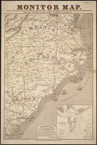
Monitor map, showing the whole seacoast from Chesapeake Bay, down to Savannah harbor, and the whole country between Richmond &...
7142.
Monmouth County, New Jersey
7143.
[Monongahela] no. 2 : a sketch of the field of battle &c, shewing the disposition of the troops about 2 o'clock when the whole...
7144.
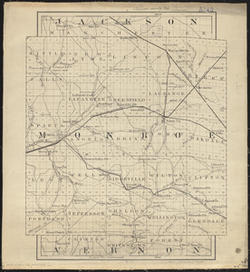
Monroe County, Wis.
7145.
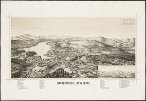
Monson, Maine
7146.
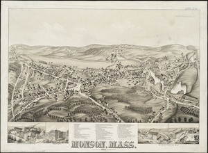
Monson, Mass : 1879
7147.
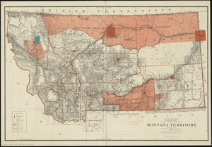
Montana Territory
7148.
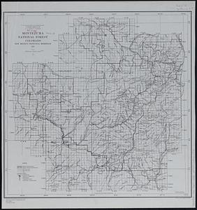
Montezuma National Forest, Colorado
7149.
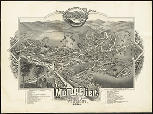
Montpelier, county seat of Washington County & capital of Vermont : 1884
7150.
Moore's sketch of the navigation of the Highlands
7151.
Moosehead Lake and the immediate area to the west : Québec July 25th, 1761
7152.
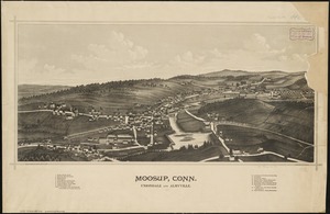
Moosup, Conn., Uniondale and Almyville
7153.
La Morea, la Livadia, e porzione della Tessaglia, e Dell' Epiro con la parte occidentale dell' arcipelago : V. Foglio della...
7154.
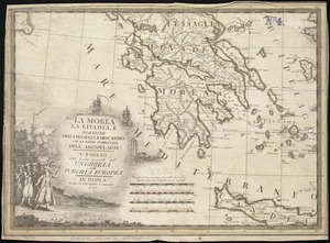
Morea olim Peloponnesus
7155.
Morocco, location of mineral resources
7156.
Morrison's North River traveller's companion : containing a map of the Hudson River, with a description of the adjoining...
7157.
Morrisville, Bucks County, Pennsylvania, 1893
7158.
Morrisville, Vt : looking southwest
7159.
Most popular mode of commuting : 2014-2018 American Community Survey
7160.
Mother Brook recreation study
‹ Prev
Next ›
1
2
…
354
355
356
357
358
359
360
361
362
…
708
709

![[Monongahela] no. 2 : a sketch of the field of battle &c, shewing the disposition of the troops about 2 o'clock when the whole of the main body had joined the advanced and working partys then beat back from the ground they occupied as in plan no. 1](https://bpldcassets.blob.core.windows.net/derivatives/images/commonwealth:j3863670v/image_thumbnail_300.jpg)