Toggle navigation
LMEC Home
Exhibitions
Georeferencing
Tools for Teachers
Collections
My Favorites
Sign Up / Log In
Search
Search the map portal
Map Collection
Map Collection
Map Sets
Search
Search
Search for
Search In
All Fields
Creator
Title
Subject
Place
Search All Digital Collections
Advanced Search
1234 Results
My Search
Start Over
land ownership maps
Remove constraint land ownership maps
Filter your Search
Place
North and Central America
1,059
United States
878
Massachusetts
292
Suffolk (county)
282
Boston
277
Canada
119
New York
61
Asia
43
more
Place
»
Topic
City planning--Massachusetts--Boston--Maps
144
Boston (Mass.)--Maps
103
Land use--Massachusetts--Boston--Maps
103
Urban renewal--Massachusetts--Boston--Maps
95
Real property--Massachusetts--Boston--Maps
79
United States--Maps
42
Land tenure--Massachusetts--Boston--Maps
39
North America--Maps--Early works to 1800
31
more
Topic
»
Date
Date range begin
–
Date range end
Current results range from
1482
to
2022
1482 : 2023
1482
2023
View distribution
Creator
Boston Redevelopment Authority
142
United States. General Land Office
60
MassGIS (Office : Mass.)
31
George, III, King of Great Britain, 1738-1820
26
George, IV, King of Great Britain, 1762-1830
25
Ptolemy, 2nd cent
22
Faden, William, 1749-1836
21
Massachusetts. Executive Office of Environmental Affairs
20
more
Creator
»
Format
Maps/Atlases
1,221
Manuscripts
119
Prints
9
Drawings/Illustrations
2
Objects/Artifacts
2
Books
1
Documents
1
Georeferenced
Yes
145
No
1,089
Collection
Norman B. Leventhal Map & Education Center Collection
759
Boston and New England Maps
416
American Revolutionary War-Era Maps
351
Urban Maps
344
Boston Redevelopment Authority Collection
150
William L. Clements Library Collection
88
Library of Congress Collection
59
British Library Collection
52
more
Collection
»
Available to use
No known restrictions
875
Creative Commons license
188
Search Constraints
Sort by relevance
relevance
title
date (asc)
date (desc)
Number of results to display per page
20 per page
10
per page
20
per page
50
per page
100
per page
View results as:
grid view
map view
Search Results
681.
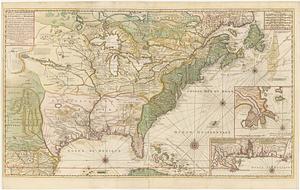
Carte de la Nouvelle France ou se voit le cours des grandes rivieres de S. Laurens & de Mississipi aujour d'hui S. Louis, aux...
682.
South western districts
683.
Plan of City Wharf in Boston, Mass : shewing 14 lots of land on the side of the south dock of said wharf & Commercial St. : to...
684.
A Topographical map of the northn. part of New York Island, exhibitg. the plan of Fort Washington now Fort Knyphausen, with the...
685.
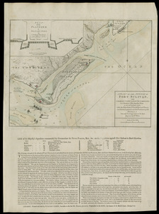
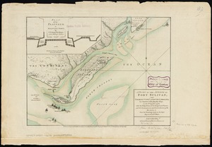
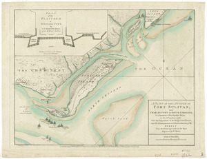
A plan of the attack of Fort Sulivan, near Charles Town in South Carolina : by a squadron of His Majesty's ships, on the 28th....
686.
Cape Prospect bearing N: by E: distant 10 1/2 miles : Cape Sambro ... ; The high lands of Haspotagoen ... ; The Ovens ... ;...
687.
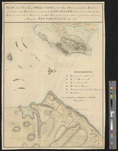
Plan of the narrows of Hell Gate, on the East River near which batteries of cannon, and morters, were erected on Long Island :...
688.
The English pilot. The fourth book. Describing the West-India navigation, from Hudson's-Bay to the River Amazones. Particulary...
689.
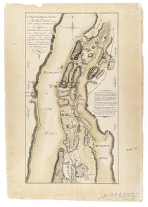
City of White Plains, Westchester County, New York
690.
A plan of the city, and fortifications, of Louisburg
691.
Ohio boundary no. 1 South Bend of Lake Michigan : map, exhibiting the position occupied in the determination of the latitude of...
692.
Ohio boundary no. 1 South Bend of Lake Michigan : map, exhibiting the position occupied in the determination of the latitude of...
693.
Province of the Massachusetts Bay & pursuant to an order made by the great & Genl. Court of the province June 11th 1762 : to me...
694.
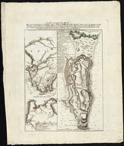
Neuester und acurater plan der weltberuhmten Englischen berg festung Gibraltar auf der Spitze von Spanien : derer wercher...
695.
The United States of America : laid down from the best authorities agreeable to the peace of 1783. : This map and chart is...
696.
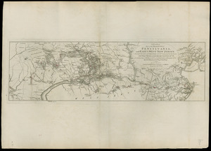
A plan of part of the provinces of Pennsylvania, and East & West New Jersey : shewing the operations of the Royal Army under...
697.
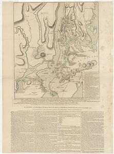
A plan of New York Island, with part of Long Island, Staten Island & east New Jersey, with a particular description of the...
698.
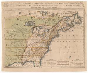
Carte des possessions angloises & françoises du continent de l'Amerique Septentrionale = Kaart van de engelsche en fransche...
699.
A plan of the attack of Fort Sulivan, near Charles Town in South Carolina : by a squadron of His Majesty's ships, on the 28th...
700.
A plan of the attack of Fort Sulivan, near Charles Town in South Carolina : by a squadron of His Majesty's ships, on the 28th...
‹ Prev
Next ›
1
2
…
31
32
33
34
35
36
37
38
39
…
61
62