Toggle navigation
LMEC Home
Exhibitions
Georeferencing
Tools for Teachers
Collections
My Favorites
Sign Up / Log In
Search
Search the map portal
Map Collection
Map Collection
Map Sets
Search
Search
Search for
Search In
All Fields
Creator
Title
Subject
Place
Search All Digital Collections
Advanced Search
14164 Results
Filter your Search
Place
North and Central America
10,832
United States
8,868
Massachusetts
2,832
Suffolk (county)
1,688
Boston
1,644
Europe
1,428
Canada
1,010
New York
684
more
Place
»
Topic
Boston (Mass.)--Maps
753
City planning--Massachusetts--Boston--Maps
419
United States--History--Revolution, 1775-1783--Maps
331
United States--Maps
331
Real property--Massachusetts--Boston--Maps
254
Urban renewal--Massachusetts--Boston--Maps
254
North America--Maps--Early works to 1800
241
Massachusetts--Maps
236
more
Topic
»
Date
Date range begin
–
Date range end
Current results range from
1482
to
2023
View distribution
Creator
United States. Hydrographic Office
597
Boston Redevelopment Authority
404
Des Barres, Joseph F. W. (Joseph Frederick Wallet), 1722-1824
247
Jefferys, Thomas, -1771
172
United States. National Ocean Service
170
Royal United Services Institute for Defence and Security Studies
160
George, III, King of Great Britain, 1738-1820
152
George, IV, King of Great Britain, 1762-1830
151
more
Creator
»
Format
Maps/Atlases
13,978
Manuscripts
985
Prints
102
Books
53
Drawings/Illustrations
44
Photographs
15
Objects/Artifacts
13
Documents
7
more
Format
»
Georeferenced
Yes
979
No
13,185
Collection
Norman B. Leventhal Map & Education Center Collection
9,162
American Revolutionary War-Era Maps
3,629
Boston and New England Maps
2,936
Urban Maps
2,511
Maritime Charts and Atlases
1,169
William L. Clements Library Collection
910
Library of Congress Collection
618
Boston Redevelopment Authority Collection
475
more
Collection
»
Available to use
No known restrictions
10,408
Creative Commons license
1,678
Search Constraints
Sort by relevance
relevance
title
date (asc)
date (desc)
Number of results to display per page
20 per page
10
per page
20
per page
50
per page
100
per page
View results as:
grid view
map view
Search Results
6341.
A Map of the seat of the late war at Boston in the state of Massachusetts
6342.
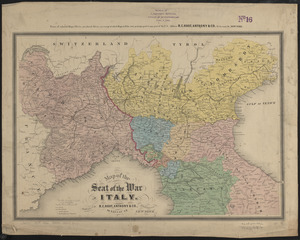
Map of the seat of the war in Italy
6343.
Map of the seat of war : to accompany the American Conflict
6344.
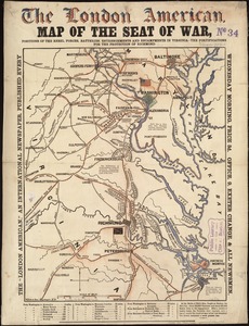
Map of the seat of war : containing a map of the vicinity of Washington, Baltimore, Harper's Ferry and Annapolis, with five...
6345.
Map of the seat of war : showing the only practical method by which the movements of the warships of both nations can be...
6346.
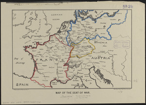
Map of the seat of war
6347.
Map of the seat of war
6348.
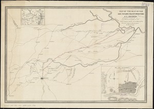
Map of the seat of war Gen Taylor's field of operations in Mexico
6349.
Map of the seat of war in Africa
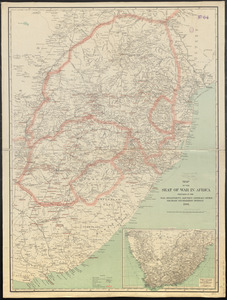
6350.
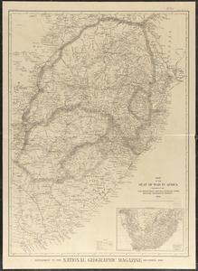
Map of the seat of war in Africa
6351.
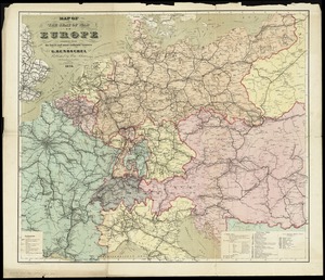
Map of the seat of war in Europe compiled from the latest and most authentic sources
6352.
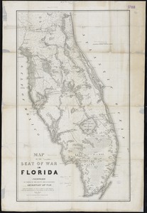
Map of the seat of war in Florida
6353.
A map of the seat of war in France : with the country divided into its several departments
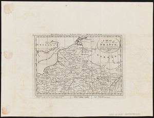
6354.
A map of the seat of war in France, with the country divided into its several departments
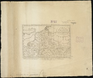
6355.
Map of the seat of war in North America
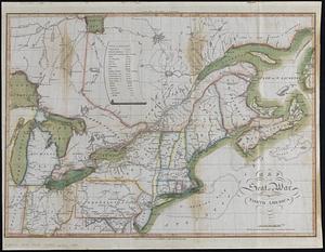
6356.
A map of the seat of war in the southern part of Virginia, North Carolina, and the northern part of South Carolina
6357.
Map of the seat of war, positions of the rebel forces, batteries, entrenchments, and encampments in Virginia-the fortifications...
6358.
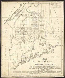
Map of the seat of war, showing disputed territory, and the boundary lines claimed by Maine & Great Britain and that proposed...
6359.
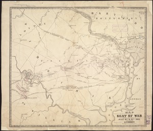
Map of the seat of war showing the battles of July 18th & 21st 1861
6360.
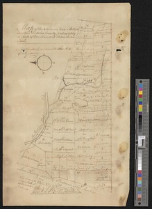
Map of the Second Nine Partners Tract in Dutchess County, protracted by a scale of one hundred chains to an inch
‹ Prev
Next ›
1
2
…
314
315
316
317
318
319
320
321
322
…
708
709