Toggle navigation
LMEC Home
Exhibitions
Georeferencing
Tools for Teachers
Collections
My Favorites
Sign Up / Log In
Search
Search the map portal
Map Collection
Map Collection
Map Sets
Search
Search
Search for
Search In
All Fields
Creator
Title
Subject
Place
Search All Digital Collections
Advanced Search
213 Results
My Search
Start Over
Date
1920
to
1924
Remove constraint Date: <span class='from'>1920</span> to <span class='to'>1924</span>
Filter your Search
Place
North and Central America
168
United States
151
Massachusetts
35
Europe
23
Boston
22
Suffolk (county)
22
Canada
13
Bristol (county)
12
more
Place
»
Topic
Fire risk assessment
32
Insurance surveys
32
Textile factories
23
Cotton manufacture
17
Boston (Mass.)--Maps
11
Europe--Maps
6
Longmeadow (Mass.)--Maps
5
Real property--Massachusetts--Boston--Maps
5
more
Topic
»
Date
1920
to
1924
[remove]
213
Date range begin
–
Date range end
Current results range from
1770
to
1999
1920
to
1920
74
1921
to
1921
62
1922
to
1922
58
1923
to
1923
41
1924
to
1924
59
Creator
Associated Mutual Insurance Companies
23
Geological Survey (U.S.)
12
Richards Map Company
9
Rand McNally and Company
8
United States. Army. Engineer Reproduction Plant
7
Associated Factory Mutual Fire Insurance Companies
5
France. Armée. Groupe de canevas de tir
5
Price & Lee Co.
5
more
Creator
»
Format
Maps/Atlases
212
Photographs
1
Georeferenced
Yes
16
No
197
Collection
Norman B. Leventhal Map & Education Center Collection
166
American Textile History Museum Image Collection
32
Boston and New England Maps
18
Urban Maps
17
Massachusetts Real Estate Atlases
8
Lucius Beebe Memorial Library Historic Maps
3
American Revolutionary War-Era Maps
1
Boston Redevelopment Authority Collection
1
more
Collection
»
Available to use
No known restrictions
170
Creative Commons license
1
Search Constraints
Sort by relevance
relevance
title
date (asc)
date (desc)
Number of results to display per page
20 per page
10
per page
20
per page
50
per page
100
per page
View results as:
grid view
map view
Search Results
41.
The countries of the Caribbean : including Mexico, Central America, the West Indies and the Panama Canal
42.
Davis Mills (Cotton Mill), Fall River, Mass. [insurance map]
43.
Diagram showing the Changuinola Railroad lines
44.
Drake's silver map : British Museum
45.
A draught of St. John's harbour : with the soundings
46.
Eastern Manufacturing Company (Paper Mill), South Brewer, Me. [insurance map]
47.
Eastern Manufacturing Company (Sulphite Pulp & Paper Mill), South Brewer, Me. [insurance map]
48.
Electric transmission systems of the United States, showing all transmission lines and interconnections above 11,000 volts also...
49.
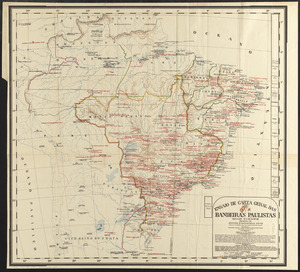
Ensaio de carta geral das Bandeiras Paulistas : seculos XVI-XVII-XVIII
50.
Erez Israel = Erets Yiśraʼel : adamah ʻIvrit
51.
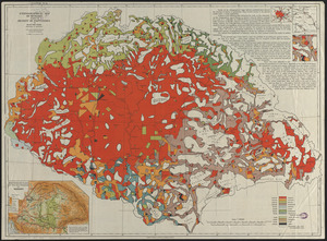
Ethnographical map of Hungary based on the density of population
52.
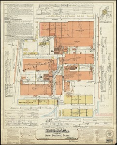
Fairhaven Mills (Cotton Mill), New Bedford, Mass.
53.
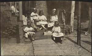
Family of Mrs. Donovan, Roxbury
54.
Fault map of the state of California
55.
Frank W. Smith Co. (Silver Ware), Gardner, Mass. [insurance map]
56.
Gallup's map of Louisiana
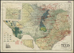
57.
Gallup's map of Texas
58.
Geologic map of Kentucky : showing oil and gas pools and pipelines and the eastern and western coalfields
59.
Geologic map of Ohio
60.
Glendale Elastic Fabrics Co., Easthampton, Mass. [insurance map]
‹ Prev
Next ›
1
2
3
4
5
6
7
…
10
11

![Davis Mills (Cotton Mill), Fall River, Mass. [insurance map]](https://bpldcassets.blob.core.windows.net/derivatives/images/commonwealth:2r36vc48g/image_thumbnail_300.jpg)


![Eastern Manufacturing Company (Paper Mill), South Brewer, Me. [insurance map]](https://bpldcassets.blob.core.windows.net/derivatives/images/commonwealth:ww72bx30q/image_thumbnail_300.jpg)
![Eastern Manufacturing Company (Sulphite Pulp & Paper Mill), South Brewer, Me. [insurance map]](https://bpldcassets.blob.core.windows.net/derivatives/images/commonwealth:4j03df42x/image_thumbnail_300.jpg)


![Frank W. Smith Co. (Silver Ware), Gardner, Mass. [insurance map]](https://bpldcassets.blob.core.windows.net/derivatives/images/commonwealth:ww72bx96t/image_thumbnail_300.jpg)


![Glendale Elastic Fabrics Co., Easthampton, Mass. [insurance map]](https://bpldcassets.blob.core.windows.net/derivatives/images/commonwealth:2r36vc46x/image_thumbnail_300.jpg)