Toggle navigation
LMEC Home
Exhibitions
Georeferencing
Tools for Teachers
Collections
My Favorites
Sign Up / Log In
Search
Search the map portal
Map Collection
Map Collection
Map Sets
Search
Search
Search for
Search In
All Fields
Creator
Title
Subject
Place
Search All Digital Collections
Advanced Search
75 Results
My Search
Start Over
1905
Remove constraint 1905
Filter your Search
Place
North and Central America
53
United States
48
Massachusetts
19
Asia
8
Essex (county)
7
Boston
5
Suffolk (county)
5
Canada
4
more
Place
»
Topic
Lynn (Mass.)--Maps
3
Southern States--Maps
3
United States--Maps
3
West Roxbury (Boston, Mass.)--Maps
3
Boston (Mass.)--Maps
2
East Asia--Maps
2
Indian reservations--United States--Maps
2
Indians of North America--Land tenure--Maps
2
more
Topic
»
Date
Date range begin
–
Date range end
Current results range from
1837
to
1941
View distribution
Creator
Geo. H. Walker & Co.
5
United States. Hydrographic Office
5
Noetzel, G. (Gregor)
3
Aguirre, A. A. (Antonio A.)
2
Bromley, George Washington
2
Bromley, Walter Scott
2
Fisk, E. F.
2
Geo. H. Walker & Co
2
more
Creator
»
Format
Maps/Atlases
74
Objects/Artifacts
2
Prints
1
Georeferenced
Yes
7
No
68
Collection
Norman B. Leventhal Map & Education Center Collection
71
Boston and New England Maps
11
Urban Maps
7
Maritime Charts and Atlases
5
Massachusetts Real Estate Atlases
3
Town plans, 1830
1
Available to use
No known restrictions
72
Search Constraints
Sort by relevance
relevance
title
date (asc)
date (desc)
Number of results to display per page
20 per page
10
per page
20
per page
50
per page
100
per page
View results as:
grid view
map view
Search Results
41.
Brazil : from official and other sources
42.
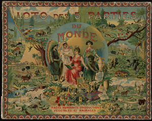
Loto des 5 parties du monde : races humaines, productions, vegetales et animales [cover]
43.
Map of Japan
44.
Map of the world
45.
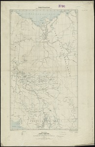
Map of the Yukon Territory to illustrate the summary reports of R.G. McConnell, B.A., Jos. Keele, B.A., and C. Camsell, B.A
46.
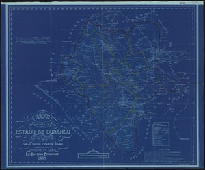
Mapa del estado de Durango, Republica Mexicana
47.
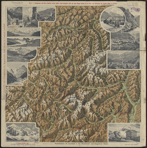
Plastische karte von Landeck, Tirol : ins ortlergebiet Kaunsertaler u. Oetztaleralpen, Silvretta u. Verwaligruppe...
48.
Asiae Minoris antiquae : tabula in usum scholarum descripta
49.
Atlas of the city of Lynn, Massachusetts : including, also, the towns of Swampscott and Saugus : based upon, and carefully...
50.
Atlas of the town of Milton Norfolk County Mass. : from official plans and private surveys
51.
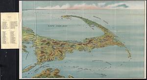
Bird's eye view of Cape Cod
52.
Bird's-eye view of Branford, Connecticut
53.
The colonies in 1660, New England and New Netherland showing extent and dates of settlement
54.
The colonies in 1660, Virginia, Maryland, and the Dutch and Swedish settlements on the Delaware showing extent and dates of...
55.
Geological map of portions of Hastings, Haliburton and Peterborough Counties, Province of Ontario : (Bancroft map)
56.
Map of Bretton Woods and surroundings
57.
A map of the British Empire in America with the French and Spanish settlements adjacent throughout
58.
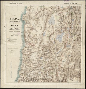
Mapa jeografico de la Puna de Atacama
59.
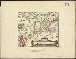
Novi Belgii Novaeque Angliae nec non partis Virginiae tabula
60.
Sunapee Lake, New Hampshire
‹ Prev
Next ›
1
2
3
4