Toggle navigation
LMEC Home
Exhibitions
Georeferencing
Tools for Teachers
Collections
My Favorites
Sign Up / Log In
Search
Search the map portal
Map Collection
Map Collection
Map Sets
Search
Search
Search for
Search In
All Fields
Creator
Title
Subject
Place
Search All Digital Collections
Advanced Search
14164 Results
Filter your Search
Place
North and Central America
10,832
United States
8,868
Massachusetts
2,832
Suffolk (county)
1,688
Boston
1,644
Europe
1,428
Canada
1,010
New York
684
more
Place
»
Topic
Boston (Mass.)--Maps
753
City planning--Massachusetts--Boston--Maps
419
United States--History--Revolution, 1775-1783--Maps
331
United States--Maps
331
Real property--Massachusetts--Boston--Maps
254
Urban renewal--Massachusetts--Boston--Maps
254
North America--Maps--Early works to 1800
241
Massachusetts--Maps
236
more
Topic
»
Date
Date range begin
–
Date range end
Current results range from
1482
to
2023
View distribution
Creator
United States. Hydrographic Office
597
Boston Redevelopment Authority
404
Des Barres, Joseph F. W. (Joseph Frederick Wallet), 1722-1824
247
Jefferys, Thomas, -1771
172
United States. National Ocean Service
170
Royal United Services Institute for Defence and Security Studies
160
George, III, King of Great Britain, 1738-1820
152
George, IV, King of Great Britain, 1762-1830
151
more
Creator
»
Format
Maps/Atlases
13,978
Manuscripts
985
Prints
102
Books
53
Drawings/Illustrations
44
Photographs
15
Objects/Artifacts
13
Documents
7
more
Format
»
Georeferenced
Yes
979
No
13,185
Collection
Norman B. Leventhal Map & Education Center Collection
9,162
American Revolutionary War-Era Maps
3,629
Boston and New England Maps
2,936
Urban Maps
2,511
Maritime Charts and Atlases
1,169
William L. Clements Library Collection
910
Library of Congress Collection
618
Boston Redevelopment Authority Collection
475
more
Collection
»
Available to use
No known restrictions
10,408
Creative Commons license
1,678
Search Constraints
Sort by relevance
relevance
title
date (asc)
date (desc)
Number of results to display per page
20 per page
10
per page
20
per page
50
per page
100
per page
View results as:
grid view
map view
Search Results
5561.
Map of Mount Desert Island, Maine
5562.
Map of n. eastern Virginia and vicinity of Washington
5563.
Map of Nantucket made by J. Prescott, dated 1831
5564.
[Map of Narragansett Bay]
5565.
Map of Nebraska showing the Union Pacific Railroad land grant
5566.
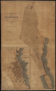
Map of New Bedford
5567.
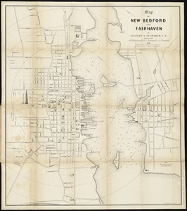
Map of New Bedford and Fairhaven
5568.
[Map of New England]
5569.
Map of New England
5570.
Map of New England : with adjacent portions of New York & Canada
5571.
A Map of New England & ye country adjacent, : extending northward to Quebec, & westward to Niagara, on Lake Ontario; shewing...
5572.
[Map of New England, 31st]
5573.
A map of New England and New York
5574.
A map of New England and New York
5575.
A map of New England, and Nova Scotia : with part of New York, Canada, and New Britain & the adjacent islands of New Found...
5576.
A map of New England, and Nova Scotia; with part of New York, Canada, and New Britain & the adjacent islands of New Found Land...
5577.
Map of New England City, Dade County, Ga
5578.
Map of New England exhibiting the rail road & telegraphic lines now in operation
5579.
Map of New England exhibiting the rail road and telegraphic lines now in operation
5580.
A map of New England, New York, New Jersey and Pensilvania
‹ Prev
Next ›
1
2
…
275
276
277
278
279
280
281
282
283
…
708
709

![[Map of Narragansett Bay]](https://bpldcassets.blob.core.windows.net/derivatives/images/commonwealth:hx11z2791/image_thumbnail_300.jpg)
![[Map of New England]](https://bpldcassets.blob.core.windows.net/derivatives/images/commonwealth:hx11z5705/image_thumbnail_300.jpg)


![[Map of New England, 31st]](https://bpldcassets.blob.core.windows.net/derivatives/images/commonwealth:wd3763094/image_thumbnail_300.jpg)