Toggle navigation
LMEC Home
Exhibitions
Georeferencing
Tools for Teachers
Collections
My Favorites
Sign Up / Log In
Search
Search the map portal
Map Collection
Map Collection
Map Sets
Search
Search
Search for
Search In
All Fields
Creator
Title
Subject
Place
Search All Digital Collections
Advanced Search
14164 Results
Filter your Search
Place
North and Central America
10,832
United States
8,868
Massachusetts
2,832
Suffolk (county)
1,688
Boston
1,644
Europe
1,428
Canada
1,010
New York
684
more
Place
»
Topic
Boston (Mass.)--Maps
753
City planning--Massachusetts--Boston--Maps
419
United States--History--Revolution, 1775-1783--Maps
331
United States--Maps
331
Real property--Massachusetts--Boston--Maps
254
Urban renewal--Massachusetts--Boston--Maps
254
North America--Maps--Early works to 1800
241
Massachusetts--Maps
236
more
Topic
»
Date
Date range begin
–
Date range end
Current results range from
1482
to
2023
View distribution
Creator
United States. Hydrographic Office
597
Boston Redevelopment Authority
404
Des Barres, Joseph F. W. (Joseph Frederick Wallet), 1722-1824
247
Jefferys, Thomas, -1771
172
United States. National Ocean Service
170
Royal United Services Institute for Defence and Security Studies
160
George, III, King of Great Britain, 1738-1820
152
George, IV, King of Great Britain, 1762-1830
151
more
Creator
»
Format
Maps/Atlases
13,978
Manuscripts
985
Prints
102
Books
53
Drawings/Illustrations
44
Photographs
15
Objects/Artifacts
13
Documents
7
more
Format
»
Georeferenced
Yes
979
No
13,185
Collection
Norman B. Leventhal Map & Education Center Collection
9,162
American Revolutionary War-Era Maps
3,629
Boston and New England Maps
2,936
Urban Maps
2,511
Maritime Charts and Atlases
1,169
William L. Clements Library Collection
910
Library of Congress Collection
618
Boston Redevelopment Authority Collection
475
more
Collection
»
Available to use
No known restrictions
10,408
Creative Commons license
1,678
Search Constraints
Sort by relevance
relevance
title
date (asc)
date (desc)
Number of results to display per page
20 per page
10
per page
20
per page
50
per page
100
per page
View results as:
grid view
map view
Search Results
5461.
Map of Lake Sunapee and vicinity reached by Boston and Maine Railroad
5462.
A map of Lancaster
5463.
Map of land owned by W. Youngs estate on the Brandywine
5464.
Map of Lapeer Co., Michigan
5465.
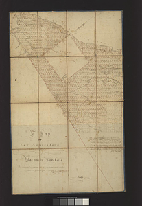
Map of Las Ormigas Grant, Sabine and DeSoto Parishes, Louisiana
5466.
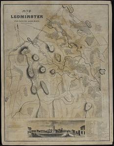
Map of Leominster containing 16602 acres
5467.
Map of Liberia
5468.
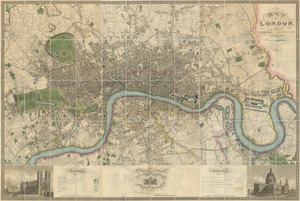
Map of London : from an actual survey made in the years 1824, 1825 & 1826
5469.
A map of Long Island
5470.
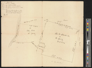
A map of lot no 1 in the Hardenbergh Patent
5471.
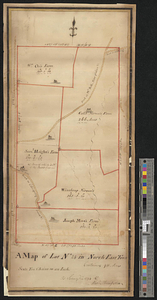
A map of lot no 24 in North East Town containing 911 acres : as surveyd in 1794 by Alexr. Thompson
5472.
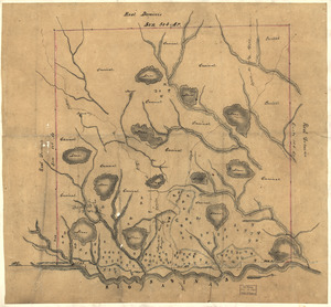
A map of lot no. 35, in the second or Little [Nine Partners Patent]
5473.
A map of lot no. 4 in the Hardenbergh Patent : surveyed and run into lots AD 1788 at the request of John R. Livingston esqr.
5474.
A map of lot no 4 in the [Ha]rdenbergh Patent
5475.
A Map of lot number four In The Division of Macomb's purchase
5476.
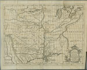
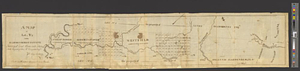
A map of Louisiana and of the River Mississipi
5477.
Map of Louisiana, Mississippi and Alabama : constructed from the latest authorities
5478.
A map of Louisiana with the course of the Missisipi, and the adjacent rivers, the nations of the natives, the French...
5479.
Map of Lunenburg
5480.
Map of Lynn and Saugus : settled in 1629
‹ Prev
Next ›
1
2
…
270
271
272
273
274
275
276
277
278
…
708
709


![A map of lot no. 35, in the second or Little [Nine Partners Patent]](https://bpldcassets.blob.core.windows.net/derivatives/metadata/commonwealth-oai:dj5314259/image_thumbnail_300.jpg)
![A map of lot no 4 in the [Ha]rdenbergh Patent](https://bpldcassets.blob.core.windows.net/derivatives/metadata/commonwealth-oai:zs262628v/image_thumbnail_300.jpg)