Search Constraints
Search Results


13156. Tabula Islandiae


13159. Macedonia, Epirus et Achaia
13160. Morea olim Peloponnesus


13175. Le Chili

13176. Isle de la Guadeloupe


13190. Americae nova tabula

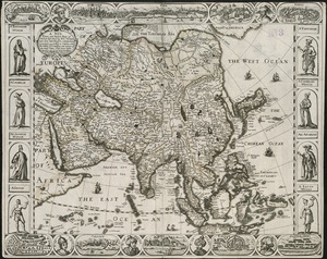
13191. Asia noviter delineata


13195. Virginia

13197. Dominio Fiorentino

13198. Americae nova descriptio

