Toggle navigation
LMEC Home
Exhibitions
Georeferencing
Tools for Teachers
Collections
My Favorites
Sign Up / Log In
Search
Search the map portal
Map Collection
Map Collection
Map Sets
Search
Search
Search for
Search In
All Fields
Creator
Title
Subject
Place
Search All Digital Collections
Advanced Search
56 Results
My Search
Start Over
Date
1751
Remove constraint Date: <span class='single'>1751</span>
Filter your Search
Place
North and Central America
36
United States
17
Canada
10
North America
8
New York
7
Europe
5
Africa
3
America
3
more
Place
»
Topic
North America--Maps--Early works to 1800
4
Manuscript maps--Early works to 1800
3
Africa, West--Maps--Early works to 1800
2
America--Maps--Early works to 1800
2
Cape Breton Island (N.S.)--Maps, Manuscript--Early works to 1800
2
Coasts--Cuba--Guantánamo Bay--Maps--Early works to 1800
2
Fortification--Newfoundland and Labrador--St. John's--Maps, Manuscript--Early works to 1800
2
Fortification--Québec (Province)--Saint-Jean-sur-Richelieu--Maps, Manuscript--Early works to 1800
2
more
Topic
»
Date
1751
[remove]
56
Date range begin
–
Date range end
Current results range from
1699
to
1800
1751
to
1751
56
Creator
Royal United Services Institute for Defence and Security Studies
10
Amherst, Jeffery Amherst, Baron, 1717-1797
7
Moll, Herman, d. 1732
3
Bellin, Jacques Nicolas, 1703-1772
2
Burghers, M.
2
George, III, King of Great Britain, 1738-1820
2
George, IV, King of Great Britain, 1762-1830
2
Nolin, Jean Baptiste, 1686-1762
2
more
Creator
»
Format
Maps/Atlases
54
Manuscripts
12
Prints
2
Georeferenced
Yes
2
No
54
Collection
American Revolutionary War-Era Maps
36
Norman B. Leventhal Map & Education Center Collection
19
British Library Collection
14
William L. Clements Library Collection
10
Library of Congress Collection
9
MacLean Collection Map Library
3
Ralph Finos Map Collection at Phillips Academy
1
Available to use
Creative Commons license
23
No known restrictions
20
Search Constraints
Sort by relevance
relevance
title
date (asc)
date (desc)
Number of results to display per page
20 per page
10
per page
20
per page
50
per page
100
per page
View results as:
grid view
map view
Search Results
21.
A map of the British and French settlements in North America
22.
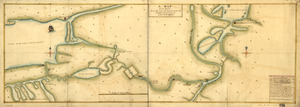
A Map of the route from the city of Albany to the Fort Osswego on the Lake of Cataroque
23.
A map or draft of a certain tract and parcell of arable and low land of Collo. Henry Beekman being situate & lying within the...
24.
[Map showing neck of land between 'Baye francaise' and 'Baye verte']
25.
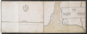
[Map showing Saint John's Harbour and a proposed fort]
26.
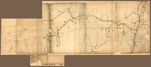
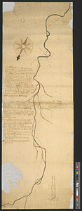
[Map showing the location of Fort de la Presentation]
27.
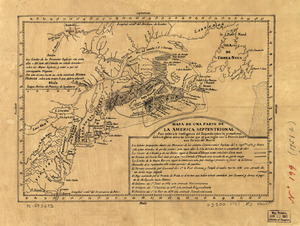
Mapa de una parte de la America Septentrional
28.
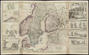
A new map of Denmark and Sweden : according to ye newest and most exact observations
29.
A new map of North America shewing its principal divisions, chief cities, townes, rivers, mountains &c
30.
A new map of the terraqueous globe according to the latest discoveries and most general divisions of it into continents and oceans
31.
Nieuwe kaart van America uitgegeven te Amsterdam
32.
Nov[us] orbis sive America septentrionalis, divisa per sua regna provinc. et insul : cura et opera
33.
N.W. parts of New York, no. 156
34.
Part of modern Orange County
35.
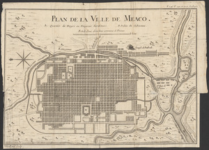
Plan de la ville de Meaco
36.
Plan du fort de Chouéghen de la Riviere Et de terrain aux Environs au Sud du Lac Ontario
37.
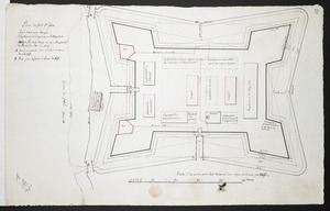
Plan du fort S.t Jean
38.
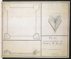
PLAN E L'ELEVATION DU FORT S.T JEAN
39.
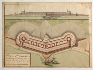
Plan et Elevation de la Batterie Royalle, dans le port de louisbourg, en l'isle royale
40.
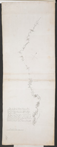
Plan of Part of Black River & Part of Otter Creek with the Distances by Computation
‹ Prev
Next ›
1
2
3

![[Map showing neck of land between 'Baye francaise' and 'Baye verte']](https://bpldcassets.blob.core.windows.net/derivatives/images/commonwealth:hx11z035j/image_thumbnail_300.jpg)
![[Map showing Saint John's Harbour and a proposed fort]](https://bpldcassets.blob.core.windows.net/derivatives/images/commonwealth:6108vw12v/image_thumbnail_300.jpg)
![[Map showing the location of Fort de la Presentation]](https://bpldcassets.blob.core.windows.net/derivatives/images/commonwealth:hx11z0993/image_thumbnail_300.jpg)


![Nov[us] orbis sive America septentrionalis, divisa per sua regna provinc. et insul](https://bpldcassets.blob.core.windows.net/derivatives/images/commonwealth:wd376505f/image_thumbnail_300.jpg)