Toggle navigation
LMEC Home
Exhibitions
Georeferencing
Tools for Teachers
Collections
My Favorites
Sign Up / Log In
Search
Search the map portal
Map Collection
Map Collection
Map Sets
Search
Search
Search for
Search In
All Fields
Creator
Title
Subject
Place
Search All Digital Collections
Advanced Search
107 Results
My Search
Start Over
Date
1940
to
1944
Remove constraint Date: <span class='from'>1940</span> to <span class='to'>1944</span>
Filter your Search
Place
United States
49
North and Central America
41
World
14
Boston
9
Suffolk (county)
9
Middlesex (county)
6
Asia
5
Bristol (county)
5
more
Place
»
Topic
United States--Maps
10
World maps
10
Fire risk assessment
8
Insurance surveys
8
Boston (Mass.)--Maps
6
Pictorial maps
6
World War, 1939-1945--Maps
5
Aeronautics
4
more
Topic
»
Date
1940
to
1944
[remove]
107
Date range begin
–
Date range end
Current results range from
1770
to
1999
1940
to
1940
31
1941
to
1941
24
1942
to
1942
40
1943
to
1943
34
1944
to
1944
41
Creator
United States. Office of Strategic Services. Geography Division
15
United States. Office of Strategic Services. Research and Analysis Branch
9
Associated Factory Mutual Fire Insurance Companies
7
Chase, Ernest Dudley, 1878-1966
7
Chase, Ernest Dudley, 1878-
5
United States. Office of Strategic Services. Reproduction Branch
4
Boston Elevated Railway Company
3
Bridge, Edward Melville, 1890-
3
more
Creator
»
Format
Maps/Atlases
105
Objects/Artifacts
1
Photographs
1
Prints
1
Georeferenced
Yes
5
No
102
Collection
Norman B. Leventhal Map Center Collection
85
American Textile History Museum Image Collection
8
Boston and New England Maps
8
Lucius Beebe Memorial Library Historic Maps
5
Ralph Finos Map Collection at Phillips Academy
5
Urban Maps
5
David Judkins Weaver Papers
2
Massachusetts Real Estate Atlases
2
more
Collection
»
Available to use
No known restrictions
92
Creative Commons license
1
Search Constraints
Sort by relevance
relevance
title
date (asc)
date (desc)
Number of results to display per page
20 per page
10
per page
20
per page
50
per page
100
per page
View results as:
grid view
map view
Search Results
21.
A draught of St. John's harbour : with the soundings
22.
Eight views of the world
23.
Fall River Industrial Buildings Inc. (Bldg.), United Rayon Mills, (Ten.), I. Schneirerson & Sons, Inc. (Ten.), Fall River,...
24.
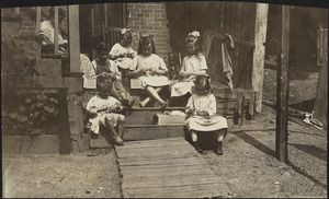
Family of Mrs. Donovan, Roxbury
25.
The fifth column menaces America on a thousand fronts
26.
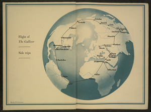
Flight of "The Gulliver"
27.
French Morocco port traffic, 1938
28.
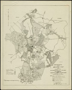
General and zoning map for town of Wakefield, Mass.
29.
Germany, concentration camps (June--1944)
30.
Germany, main movements of freight traffic
31.
Germany, main movements of freight traffic, 1942
32.
Germany, postal administrative districts, March 1943
33.
Global map for global war and global peace
34.
The good neighbor pictorial map of South America
35.
Great Britain, her natural & industrial resources
36.
Great circle airways
37.
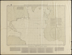
Great circle sailing chart of the North Atlantic Ocean
38.
Indians of the U.S.A.
39.
Invasion and total war victory maps : with decorations, illustrations and military and naval insignia
40.
Iraq water supply and land use
‹ Prev
Next ›
1
2
3
4
5
6


![Fall River Industrial Buildings Inc. (Bldg.), United Rayon Mills, (Ten.), I. Schneirerson & Sons, Inc. (Ten.), Fall River, Mass. [insurance map]](https://bpldcassets.blob.core.windows.net/derivatives/images/commonwealth:4j03df657/image_thumbnail_300.jpg)