Toggle navigation
LMEC Home
Exhibitions
Georeferencing
Tools for Teachers
Collections
My Favorites
Sign Up / Log In
Search
Search the map portal
Map Collection
Map Collection
Map Sets
Search
Search
Search for
Search In
All Fields
Creator
Title
Subject
Place
Search All Digital Collections
Advanced Search
14020 Results
Filter your Search
Place
North and Central America
10,683
United States
8,692
Massachusetts
2,808
Suffolk (county)
1,682
Boston
1,638
Europe
1,420
Canada
1,009
New York
674
more
Place
»
Topic
Boston (Mass.)--Maps
748
City planning--Massachusetts--Boston--Maps
418
United States--History--Revolution, 1775-1783--Maps
331
United States--Maps
328
Real property--Massachusetts--Boston--Maps
254
Urban renewal--Massachusetts--Boston--Maps
254
North America--Maps--Early works to 1800
240
Massachusetts--Maps
234
more
Topic
»
Date
Date range begin
–
Date range end
Current results range from
1482
to
2023
View distribution
Creator
United States. Hydrographic Office
597
Boston Redevelopment Authority
404
Des Barres, Joseph F. W. (Joseph Frederick Wallet), 1722-1824
247
Jefferys, Thomas, -1771
172
Royal United Services Institute for Defence and Security Studies
160
George, III, King of Great Britain, 1738-1820
152
George, IV, King of Great Britain, 1762-1830
151
O.H. Bailey & Co
148
more
Creator
»
Format
Maps/Atlases
13,838
Manuscripts
985
Prints
102
Books
49
Drawings/Illustrations
44
Photographs
15
Objects/Artifacts
13
Documents
7
more
Format
»
Georeferenced
Yes
979
No
13,041
Collection
Norman B. Leventhal Map & Education Center Collection
9,109
American Revolutionary War-Era Maps
3,627
Boston and New England Maps
2,921
Urban Maps
2,479
Maritime Charts and Atlases
1,169
William L. Clements Library Collection
910
Library of Congress Collection
618
Boston Redevelopment Authority Collection
475
more
Collection
»
Available to use
No known restrictions
10,267
Creative Commons license
1,678
Search Constraints
Sort by relevance
relevance
title
date (asc)
date (desc)
Number of results to display per page
20 per page
10
per page
20
per page
50
per page
100
per page
View results as:
grid view
map view
Search Results
3581.
Flood progression map : 36" SLR
3582.
Florence
3583.
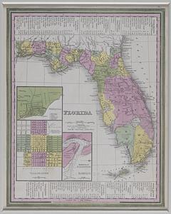
Florida
3584.
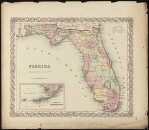
Florida
3585.
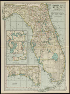
Florida
3586.
La Florida
3587.
Florida called by ye French Louisiana &c
3588.
Florida from the latest authorities
3589.
Florida from the latest authorities
3590.
Florida gebiet
3591.
La Floride divisée en Floride et Caroline
3592.
La Floride, suivant les nouvelles observations de Messrs. de l'Academie des Sciences, etc : augmentées de Nouveau
3593.
Flynt Jenkins sold to Taylor Foster &c plans 1778
3594.
Foederatae Belgicae tabula : in multis locis emendata et in lucem
3595.
Fond du Lac County, Wis.
3596.
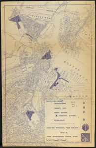
Food distribution center study : Food distribution site study
3597.
Forbes' new and complete map of Richmond and its fortifications
3598.
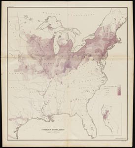
Foreign population
3599.
Foreign religions in Central Asia and China up to the 14th century A.D.
3600.
Forest Hills Cemetery : consecrated June 28th, 1848 : area 203 acres
‹ Prev
Next ›
1
2
…
176
177
178
179
180
181
182
183
184
…
700
701